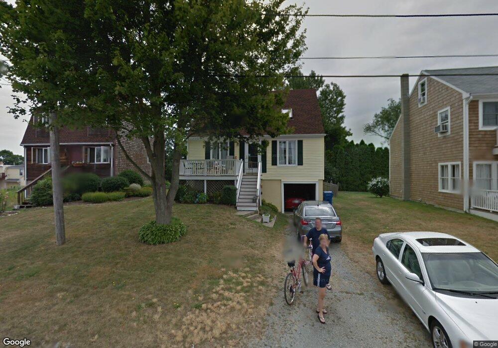
97 Canton Ave Portsmouth, RI 02871
Common Fence Point NeighborhoodEstimated Value: $547,000 - $664,000
2
Beds
2
Baths
1,160
Sq Ft
$523/Sq Ft
Est. Value
About This Home
This home is located at 97 Canton Ave, Portsmouth, RI 02871 and is currently estimated at $606,374, approximately $522 per square foot. 97 Canton Ave is a home located in Newport County with nearby schools including Portsmouth High School.
Ownership History
Date
Name
Owned For
Owner Type
Purchase Details
Closed on
Jun 15, 1995
Sold by
Hufstader Christopher and Hutchinson Catherine
Bought by
Hannon Dennis J and Hannon Robin
Current Estimated Value
Home Financials for this Owner
Home Financials are based on the most recent Mortgage that was taken out on this home.
Original Mortgage
$118,339
Interest Rate
8.24%
Mortgage Type
Purchase Money Mortgage
Purchase Details
Closed on
Jan 11, 1990
Sold by
Nagelhout Gregg
Bought by
Nufstader Christopher
Create a Home Valuation Report for This Property
The Home Valuation Report is an in-depth analysis detailing your home's value as well as a comparison with similar homes in the area
Home Values in the Area
Average Home Value in this Area
Purchase History
| Date | Buyer | Sale Price | Title Company |
|---|---|---|---|
| Hannon Dennis J | $120,000 | -- | |
| Nufstader Christopher | $133,500 | -- |
Source: Public Records
Mortgage History
| Date | Status | Borrower | Loan Amount |
|---|---|---|---|
| Open | Nufstader Christopher | $135,000 | |
| Closed | Nufstader Christopher | $120,000 | |
| Closed | Nufstader Christopher | $114,750 | |
| Closed | Nufstader Christopher | $118,339 |
Source: Public Records
Tax History Compared to Growth
Tax History
| Year | Tax Paid | Tax Assessment Tax Assessment Total Assessment is a certain percentage of the fair market value that is determined by local assessors to be the total taxable value of land and additions on the property. | Land | Improvement |
|---|---|---|---|---|
| 2025 | $5,001 | $376,600 | $138,800 | $237,800 |
| 2024 | $4,964 | $376,600 | $138,800 | $237,800 |
| 2023 | $4,813 | $376,600 | $138,800 | $237,800 |
| 2022 | $4,379 | $281,400 | $111,100 | $170,300 |
| 2021 | $4,308 | $281,400 | $111,100 | $170,300 |
| 2020 | $4,241 | $281,400 | $111,100 | $170,300 |
| 2019 | $4,185 | $255,200 | $83,200 | $172,000 |
| 2018 | $4,076 | $255,200 | $83,200 | $172,000 |
| 2017 | $3,935 | $255,200 | $83,200 | $172,000 |
| 2016 | $3,557 | $222,300 | $77,200 | $145,100 |
| 2015 | $3,512 | $222,300 | $77,200 | $145,100 |
| 2014 | $3,512 | $222,300 | $77,200 | $145,100 |
Source: Public Records
Map
Nearby Homes
- 0 Dighton Ave
- 72 Rhode Island Blvd
- 134 Greenfield Ave
- 0 Common Fence Blvd Unit 1364650
- 0 Common Fence Blvd Unit 1397142
- 0 Island Rd
- 1055 Anthony Rd
- 10 Mount Hope Ave
- 169 Narragansett Blvd
- 1350 Anthony Rd
- 8 Tucker Ave
- 42 Lewis St
- 50 Stevens St
- 132 Highland Ave
- 83 Waters Edge Unit 24
- 87 Waters Edge
- 88 Ormerod Ave
- 9 Cutter Ln
- 1660 Main Rd
- 47 Watermark Dr
- 103 Canton Ave
- 93 Canton Ave
- 104 Dighton Ave
- 102 Dighton Ave
- 96 Canton Ave
- 85 Canton Ave
- 108 Canton Ave
- 92 Canton Ave
- 32 Rhode Island Blvd
- 108 Dighton Ave
- 111 Canton Ave
- 107 Canton Ave
- 14 Rhode Island Blvd
- 38 Rhode Island Blvd
- 116 Canton Ave
- 118 Dighton Ave
- 101 Berkley Ave
- 111 Berkley Ave
- 111 SE Berkley Ave
- 99 Dighton Ave