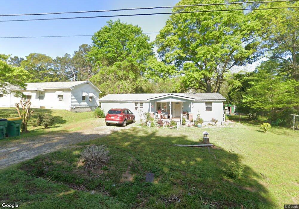
97 Circle Dr Winder, GA 30680
Estimated Value: $180,101 - $291,000
3
Beds
1
Bath
1,040
Sq Ft
$226/Sq Ft
Est. Value
About This Home
This home is located at 97 Circle Dr, Winder, GA 30680 and is currently estimated at $235,025, approximately $225 per square foot. 97 Circle Dr is a home located in Barrow County with nearby schools including Kennedy Elementary School, Westside Middle School, and Apalachee High School.
Ownership History
Date
Name
Owned For
Owner Type
Purchase Details
Closed on
Dec 5, 2005
Sold by
Wallace Florence M
Bought by
Wallace Florence M and Wallace Jc
Current Estimated Value
Home Financials for this Owner
Home Financials are based on the most recent Mortgage that was taken out on this home.
Original Mortgage
$65,000
Interest Rate
6.19%
Mortgage Type
New Conventional
Purchase Details
Closed on
Aug 1, 1988
Sold by
Mcdaniel John F And
Bought by
Mcdaniel Florence M
Purchase Details
Closed on
Jun 17, 1985
Bought by
Mcdaniel John F
Create a Home Valuation Report for This Property
The Home Valuation Report is an in-depth analysis detailing your home's value as well as a comparison with similar homes in the area
Home Values in the Area
Average Home Value in this Area
Purchase History
| Date | Buyer | Sale Price | Title Company |
|---|---|---|---|
| Wallace Florence M | -- | -- | |
| Mcdaniel Florence M | -- | -- | |
| Mcdaniel John F | $26,000 | -- |
Source: Public Records
Mortgage History
| Date | Status | Borrower | Loan Amount |
|---|---|---|---|
| Closed | Wallace Florence M | $65,000 |
Source: Public Records
Tax History
| Year | Tax Paid | Tax Assessment Tax Assessment Total Assessment is a certain percentage of the fair market value that is determined by local assessors to be the total taxable value of land and additions on the property. | Land | Improvement |
|---|---|---|---|---|
| 2025 | $348 | $51,160 | $18,000 | $33,160 |
| 2024 | $347 | $50,175 | $18,000 | $32,175 |
| 2023 | $409 | $50,175 | $18,000 | $32,175 |
| 2022 | $312 | $28,878 | $15,600 | $13,278 |
| 2021 | $141 | $22,078 | $8,800 | $13,278 |
| 2020 | $221 | $22,078 | $8,800 | $13,278 |
| 2019 | $219 | $20,871 | $8,800 | $12,071 |
| 2018 | $208 | $20,871 | $8,800 | $12,071 |
| 2017 | $575 | $19,278 | $8,800 | $10,478 |
| 2016 | $108 | $19,278 | $8,800 | $10,478 |
| 2015 | $108 | $19,278 | $8,800 | $10,478 |
| 2014 | $50 | $14,790 | $4,312 | $10,478 |
| 2013 | -- | $14,266 | $4,312 | $9,954 |
Source: Public Records
Map
Nearby Homes
- 98 Circle Dr
- 0 Horton St Unit 10643908
- 48 Horton St
- 609 Bill Rutledge Rd
- 21 Duke Cir
- 2036 Massey Ln
- 2061 Massey Ln
- 155 Horton St
- 0 Bill Rutledge Rd Unit 7630436
- 0 Bill Rutledge Rd Unit 10591503
- 2147 Massey Ln
- 677 Massey St
- 2051 Massey Ln
- 221 Highway 211 NW
- 277 Hillside Dr
- 1993 Township Dr
- 128 Mcneal Rd
- 279 Spring St
- 269 Elks St
- 0 Groveland Dr S Unit 10629460
Your Personal Tour Guide
Ask me questions while you tour the home.