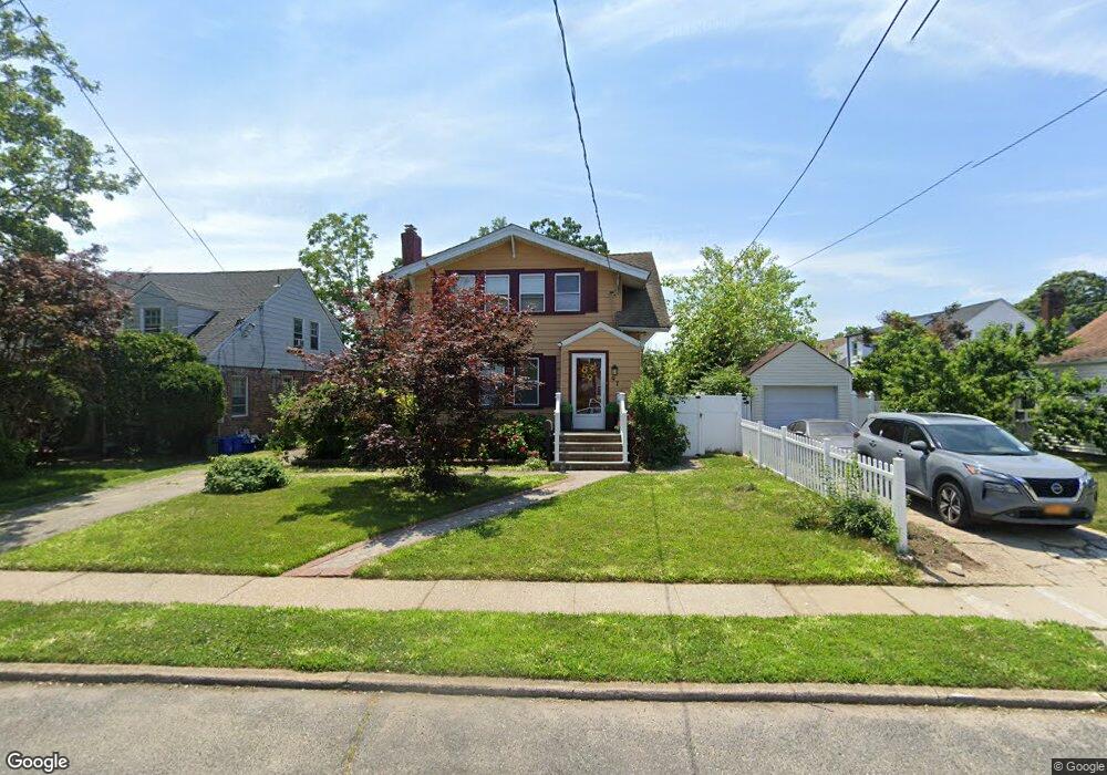
97 Claurome Place Freeport, NY 11520
Estimated Value: $575,869 - $692,000
--
Bed
2
Baths
1,530
Sq Ft
$422/Sq Ft
Est. Value
About This Home
This home is located at 97 Claurome Place, Freeport, NY 11520 and is currently estimated at $645,967, approximately $422 per square foot. 97 Claurome Place is a home located in Nassau County with nearby schools including Caroline G. Atkinson Intermediate School, Columbus Avenue School, and John W Dodd Middle School.
Ownership History
Date
Name
Owned For
Owner Type
Purchase Details
Closed on
Jun 3, 2020
Sold by
Decastro Stephen
Bought by
Decastro Stephen and Boyd Decastro Simone
Current Estimated Value
Home Financials for this Owner
Home Financials are based on the most recent Mortgage that was taken out on this home.
Original Mortgage
$242,400
Interest Rate
3.2%
Purchase Details
Closed on
Mar 24, 2000
Sold by
Simpson Alfonzo and Simpson Jannie
Bought by
Decastro Stephen
Create a Home Valuation Report for This Property
The Home Valuation Report is an in-depth analysis detailing your home's value as well as a comparison with similar homes in the area
Home Values in the Area
Average Home Value in this Area
Purchase History
| Date | Buyer | Sale Price | Title Company |
|---|---|---|---|
| Decastro Stephen | -- | None Available | |
| Decastro Stephen | $185,400 | Kenneth Keith |
Source: Public Records
Mortgage History
| Date | Status | Borrower | Loan Amount |
|---|---|---|---|
| Previous Owner | Decastro Stephen | $242,400 |
Source: Public Records
Tax History Compared to Growth
Tax History
| Year | Tax Paid | Tax Assessment Tax Assessment Total Assessment is a certain percentage of the fair market value that is determined by local assessors to be the total taxable value of land and additions on the property. | Land | Improvement |
|---|---|---|---|---|
| 2025 | $8,172 | $379 | $130 | $249 |
| 2024 | $829 | $381 | $131 | $250 |
| 2023 | $6,856 | $394 | $135 | $259 |
| 2022 | $6,856 | $381 | $131 | $250 |
| 2021 | $9,331 | $384 | $132 | $252 |
| 2020 | $6,790 | $543 | $333 | $210 |
| 2019 | $6,653 | $543 | $333 | $210 |
| 2018 | $6,426 | $654 | $0 | $0 |
| 2017 | $6,471 | $654 | $401 | $253 |
| 2016 | $7,452 | $654 | $401 | $253 |
| 2015 | $945 | $654 | $401 | $253 |
| 2014 | $945 | $654 | $401 | $253 |
| 2013 | $893 | $654 | $401 | $253 |
Source: Public Records
Map
Nearby Homes
- 18 Evans Ave
- 152 Evans Ave
- 139 New York Ave
- 222 N Ocean Ave
- 187 Moore Ave
- 174 Delaware Ave
- 27 W Woodbine Dr
- 107 California Ave
- 36 New York Ave
- 21 Connecticut Ave
- 1 Willowbrook Ln
- 89 Delaware Ave
- 142 Maryland Ave
- 6 New York Ave
- 29 Wilson Place
- 92 Leonard Ave
- 154 California Ave
- 93 Woodside Ave
- 101 Wallace St
- 110 Woodside Ave
- 91 Claurome Place
- 288 Wallace St
- 292 Wallace St
- 9 Radam Ct
- 3 Radam Ct
- 284 Wallace St
- 11 Radam Ct
- 280 Wallace St
- 40 Claurome Place
- 40 Claurome Place
- 268 Wallace St
- 44 Claurome Place
- 38 Claurome Place
- 4 Radam Ct
- 36 Claurome Place
- 302 Wallace St
- 237 Wallace St
- 266 Wallace St
- 279 Wallace St
- 277 Wallace St