97 Cove Way Ellsworth, ME 04605
Estimated Value: $404,000 - $673,099
3
Beds
1
Bath
1,085
Sq Ft
$498/Sq Ft
Est. Value
About This Home
This home is located at 97 Cove Way, Ellsworth, ME 04605 and is currently estimated at $540,775, approximately $498 per square foot. 97 Cove Way is a home located in Hancock County with nearby schools including Sumner Memorial High School.
Ownership History
Date
Name
Owned For
Owner Type
Purchase Details
Closed on
Sep 14, 2011
Sold by
Lemery Wade O Est
Bought by
Liberatore Anthony L and Liberatore Joanna C
Current Estimated Value
Home Financials for this Owner
Home Financials are based on the most recent Mortgage that was taken out on this home.
Original Mortgage
$205,400
Outstanding Balance
$141,460
Interest Rate
4.38%
Mortgage Type
Purchase Money Mortgage
Estimated Equity
$399,315
Create a Home Valuation Report for This Property
The Home Valuation Report is an in-depth analysis detailing your home's value as well as a comparison with similar homes in the area
Home Values in the Area
Average Home Value in this Area
Purchase History
| Date | Buyer | Sale Price | Title Company |
|---|---|---|---|
| Liberatore Anthony L | -- | -- |
Source: Public Records
Mortgage History
| Date | Status | Borrower | Loan Amount |
|---|---|---|---|
| Open | Liberatore Anthony L | $205,400 |
Source: Public Records
Tax History Compared to Growth
Tax History
| Year | Tax Paid | Tax Assessment Tax Assessment Total Assessment is a certain percentage of the fair market value that is determined by local assessors to be the total taxable value of land and additions on the property. | Land | Improvement |
|---|---|---|---|---|
| 2024 | $7,597 | $435,375 | $181,875 | $253,500 |
| 2023 | $5,707 | $329,880 | $174,600 | $155,280 |
| 2022 | $5,179 | $329,880 | $174,600 | $155,280 |
| 2021 | $4,455 | $247,100 | $145,500 | $101,600 |
| 2020 | $4,619 | $246,100 | $145,500 | $100,600 |
| 2019 | $4,629 | $246,100 | $145,500 | $100,600 |
| 2018 | $4,489 | $246,100 | $145,500 | $100,600 |
| 2017 | $4,406 | $245,200 | $146,000 | $99,200 |
| 2016 | $4,254 | $240,600 | $141,400 | $99,200 |
| 2015 | $4,259 | $240,600 | $141,400 | $99,200 |
| 2014 | $3,958 | $240,600 | $141,400 | $99,200 |
| 2012 | $3,717 | $240,600 | $140,900 | $99,700 |
Source: Public Records
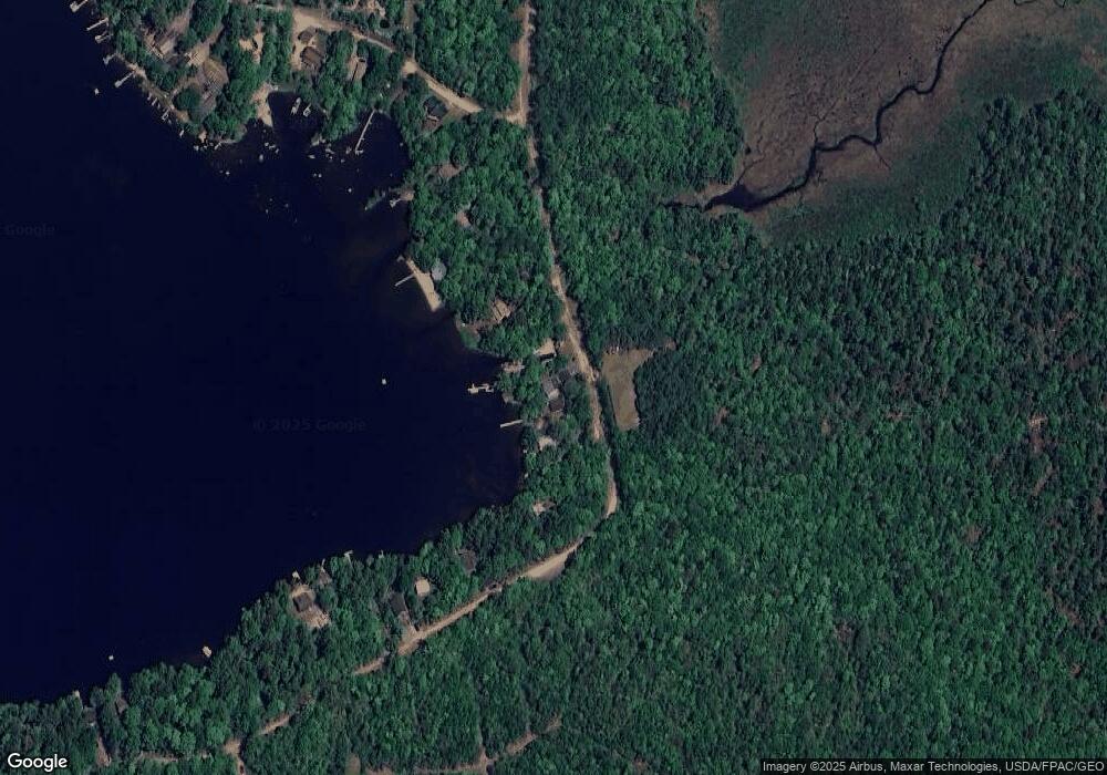
Map
Nearby Homes
- 24 Tamarac Rd
- 18 Tamarac Rd
- 1802 Bangor Rd
- 1400 Bangor Rd
- 0 Branch Pond Rd
- Lot 5 Foggy Ridge Way
- Lot 9 Foggy Ridge Way
- 428 Winkumpaugh Rd
- 248 Branchview Dr
- 194 Branchview Dr
- 20 Upper Boggy Brook Rd
- 52 Shore Path
- 00 Green Lake Rd
- 394 Green Lake Rd
- 627 Green Lake Rd
- 383 Lily Rd
- 235 Kotagiri Way
- 1181 Happytown Rd
- 928 Red Bridge Rd
- 17 Birch Heights
- 101 Cove Way
- 105 Cove Way
- 109 Cove Way
- 93 Cove Way
- 111 Cove Way
- 115 Cove Way
- 119 Cove Way
- 0 Tannery Brook Rd Unit 423917
- 0 Tannery Brook Rd Unit 418155
- 0 Tannery Brook Rd Unit 415963
- 0 Tannery Brook Rd Unit 172779
- 0 Tannery Brook Rd Unit 172777
- 0 Tannery Brook Rd Unit 172775
- 0 Tannery Brook Rd Unit 172773
- 0 Tannery Brook Rd Unit 323759
- 0 Tannery Brook Rd Unit 323753
- 0 Tannery Brook Rd Unit 231875
- 0 Tannery Brook Rd Unit 1346297
- 141 Cove Way
- 141 ''''''Cove Way