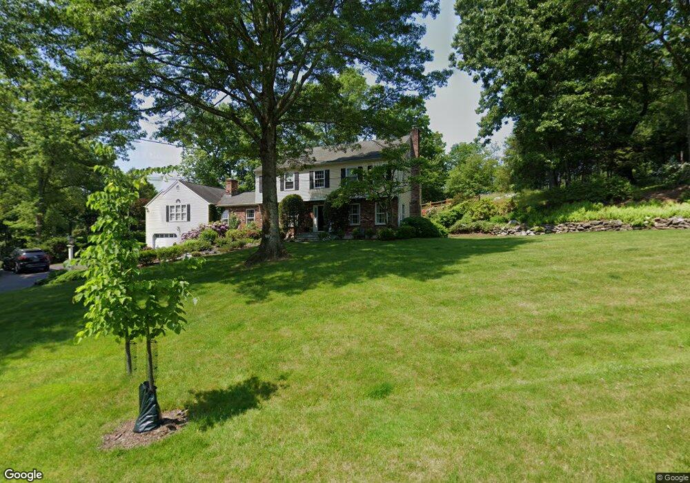
97 Daybreak Ln Southport, CT 06890
Estimated Value: $1,911,000 - $2,145,481
4
Beds
3
Baths
3,525
Sq Ft
$571/Sq Ft
Est. Value
About This Home
This home is located at 97 Daybreak Ln, Southport, CT 06890 and is currently estimated at $2,013,870, approximately $571 per square foot. 97 Daybreak Ln is a home located in Fairfield County with nearby schools including Dwight Elementary School, Roger Ludlowe Middle School, and Fairfield Ludlowe High School.
Ownership History
Date
Name
Owned For
Owner Type
Purchase Details
Closed on
Jan 4, 2007
Sold by
Kirk R Scott and Kirk Clare P
Bought by
Nolan Dennis M
Current Estimated Value
Purchase Details
Closed on
Nov 16, 1992
Sold by
Phh Home Equity Corp
Bought by
Kirk R Scott and Kirk Clare P
Purchase Details
Closed on
Oct 14, 1992
Sold by
Ford David S and Ford Kay
Bought by
Phh Home Equity Corp
Purchase Details
Closed on
Jan 6, 1992
Sold by
Alexander George A and Alexander Patricia
Bought by
Ford David S and Ford Kay
Purchase Details
Closed on
Sep 16, 1988
Sold by
Obrien Wade B
Bought by
Alexander Geo A
Create a Home Valuation Report for This Property
The Home Valuation Report is an in-depth analysis detailing your home's value as well as a comparison with similar homes in the area
Home Values in the Area
Average Home Value in this Area
Purchase History
| Date | Buyer | Sale Price | Title Company |
|---|---|---|---|
| Nolan Dennis M | $1,115,000 | -- | |
| Nolan Dennis M | $1,115,000 | -- | |
| Kirk R Scott | $487,500 | -- | |
| Kirk R Scott R | $487,500 | -- | |
| Phh Home Equity Corp | $515,000 | -- | |
| Phh Home Equity Corp | $515,000 | -- | |
| Ford David S | $515,000 | -- | |
| Ford David S | $515,000 | -- | |
| Alexander Geo A | $530,500 | -- |
Source: Public Records
Mortgage History
| Date | Status | Borrower | Loan Amount |
|---|---|---|---|
| Open | Alexander Geo A | $200,000 | |
| Open | Alexander Geo A | $615,000 |
Source: Public Records
Tax History Compared to Growth
Tax History
| Year | Tax Paid | Tax Assessment Tax Assessment Total Assessment is a certain percentage of the fair market value that is determined by local assessors to be the total taxable value of land and additions on the property. | Land | Improvement |
|---|---|---|---|---|
| 2025 | $22,164 | $780,710 | $397,040 | $383,670 |
| 2024 | $21,782 | $780,710 | $397,040 | $383,670 |
| 2023 | $21,477 | $780,710 | $397,040 | $383,670 |
| 2022 | $21,267 | $780,710 | $397,040 | $383,670 |
| 2021 | $21,064 | $780,710 | $397,040 | $383,670 |
| 2020 | $20,218 | $754,670 | $392,630 | $362,040 |
| 2019 | $20,218 | $754,670 | $392,630 | $362,040 |
| 2018 | $19,893 | $754,670 | $392,630 | $362,040 |
| 2017 | $19,486 | $754,670 | $392,630 | $362,040 |
| 2016 | $19,206 | $754,670 | $392,630 | $362,040 |
| 2015 | $19,330 | $779,730 | $422,590 | $357,140 |
| 2014 | $19,025 | $779,730 | $422,590 | $357,140 |
Source: Public Records
Map
Nearby Homes
- 125 Old Rd
- 153 Pease Ave
- 1213 Cedar Rd
- 1 Coastal Ct
- 844 Mill Hill Terrace
- 107 Old Rd
- 1001 Hulls Farm Rd
- 646 Mill Hill Terrace
- 2 Elmwood Dr Unit 2
- 1 Sturges Hwy Unit Lot 1
- 1 Sturges Hwy Unit 2
- 1135 Mill Hill Rd
- 220 Lansdowne
- 10 Debra Ln
- 7 High Gate Rd
- 476 Mill Hill Terrace
- 40 Maple Ave N
- 688 Hulls Farm Rd
- 28 Mill Hill Rd Unit 28
- 53 Hilltop Dr