97 E Shore Lake Owassa Rd Newton, NJ 07860
Estimated Value: $204,000 - $278,000
--
Bed
--
Bath
624
Sq Ft
$372/Sq Ft
Est. Value
About This Home
This home is located at 97 E Shore Lake Owassa Rd, Newton, NJ 07860 and is currently estimated at $232,369, approximately $372 per square foot. 97 E Shore Lake Owassa Rd is a home located in Sussex County with nearby schools including Frankford Township School and High Point Regional High School.
Ownership History
Date
Name
Owned For
Owner Type
Purchase Details
Closed on
Sep 8, 2009
Sold by
Heuslein Lisa E and Schwank Lisa E
Bought by
Rights John C
Current Estimated Value
Home Financials for this Owner
Home Financials are based on the most recent Mortgage that was taken out on this home.
Original Mortgage
$87,200
Outstanding Balance
$57,519
Interest Rate
5.36%
Mortgage Type
New Conventional
Estimated Equity
$174,850
Create a Home Valuation Report for This Property
The Home Valuation Report is an in-depth analysis detailing your home's value as well as a comparison with similar homes in the area
Home Values in the Area
Average Home Value in this Area
Purchase History
| Date | Buyer | Sale Price | Title Company |
|---|---|---|---|
| Rights John C | $113,454 | None Available |
Source: Public Records
Mortgage History
| Date | Status | Borrower | Loan Amount |
|---|---|---|---|
| Open | Rights John C | $87,200 |
Source: Public Records
Tax History Compared to Growth
Tax History
| Year | Tax Paid | Tax Assessment Tax Assessment Total Assessment is a certain percentage of the fair market value that is determined by local assessors to be the total taxable value of land and additions on the property. | Land | Improvement |
|---|---|---|---|---|
| 2025 | $3,438 | $115,600 | $84,700 | $30,900 |
| 2024 | $3,335 | $115,600 | $84,700 | $30,900 |
| 2023 | $3,335 | $115,600 | $84,700 | $30,900 |
| 2022 | $3,254 | $115,600 | $84,700 | $30,900 |
| 2021 | $3,156 | $115,600 | $84,700 | $30,900 |
| 2020 | $3,066 | $115,600 | $84,700 | $30,900 |
| 2019 | $2,979 | $115,600 | $84,700 | $30,900 |
| 2018 | $2,951 | $115,600 | $84,700 | $30,900 |
| 2017 | $2,941 | $115,600 | $84,700 | $30,900 |
| 2016 | $2,978 | $115,600 | $84,700 | $30,900 |
| 2015 | $2,963 | $115,600 | $84,700 | $30,900 |
| 2014 | $3,031 | $115,600 | $84,700 | $30,900 |
Source: Public Records
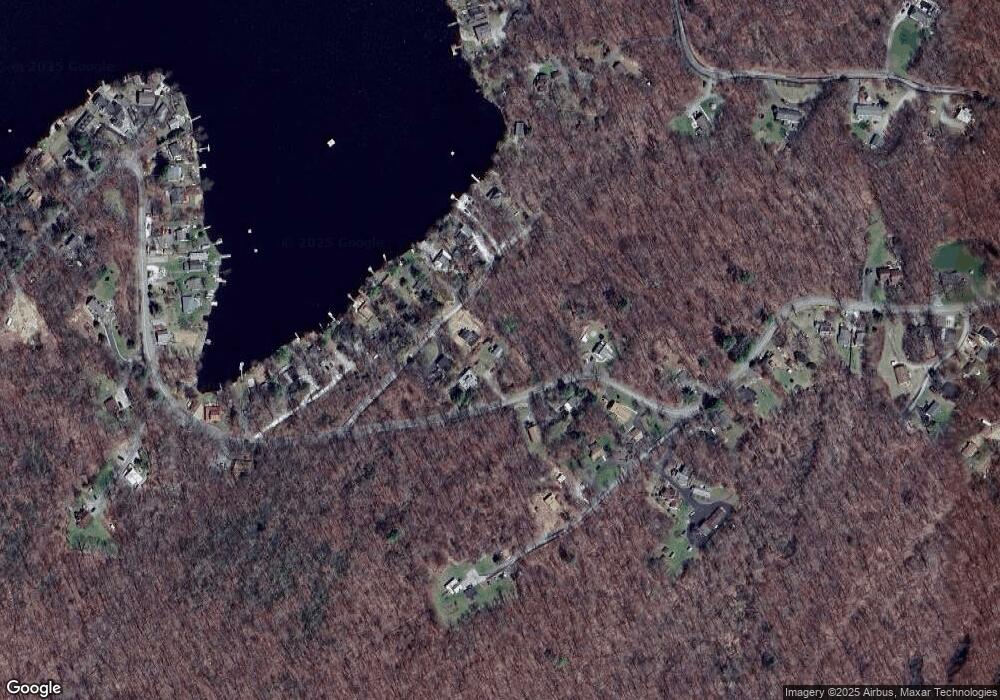
Map
Nearby Homes
- 40 Martin Ln
- 26 Mill Ln
- 25 E Shore Lake Owassa Rd
- 196 W Owassa Turnpike
- 19 E Shore Lake Owassa Rd
- 1 Lakeview Point Ave
- 9 Maple Ln
- 4 Woodlawn Ave
- 15 Forest St
- 6 Woodlawn Ave
- 39 Stehr St
- 10 Lakewood Trail
- 1 South Trail
- 7 Laurel Ave
- 57 E Shore Trail
- 78 E Shore Culver Rd
- 95 Woods Rd
- 7 Stempert Rd
- 27 Mountain Trail
- 221 Fairview Ave
- 60 Cottage Ave
- 99 E Shore Lake Owassa Rd
- 4 Marron Rd
- 62 Cottage Ave
- 51 E Shore Lake Owassa Rd
- 101 E Shore Lake Owassa Rd
- 102 E Shore Lake Owassa Rd
- 61 Cottage Ave
- 100 E Shore Lake Owassa Rd
- 59 Cottage Ave
- 54 Cottage Ave
- 93 E Shore Lake Owassa Rd
- 63 Cottage Ave
- 57 Cottage Ave
- 65 Cottage Ave
- 103 E Shore Lake Owassa Rd
- 55 Cottage Ave
- 69 Cottage Ave
- 67 Cottage Ave
- 1 Deer Park Ridge Ave