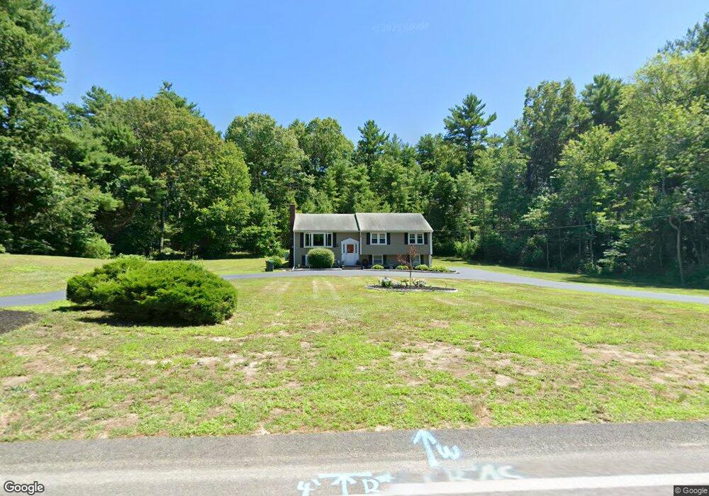
97 Furnace St Marshfield, MA 02050
Estimated Value: $692,416 - $833,000
4
Beds
2
Baths
1,637
Sq Ft
$479/Sq Ft
Est. Value
About This Home
This home is located at 97 Furnace St, Marshfield, MA 02050 and is currently estimated at $783,604, approximately $478 per square foot. 97 Furnace St is a home located in Plymouth County with nearby schools including South River, Furnace Brook Middle School, and Marshfield High School.
Ownership History
Date
Name
Owned For
Owner Type
Purchase Details
Closed on
Jan 3, 2022
Sold by
Tracy Cathrine M
Bought by
Cathrine M Tracy Ret and Tracy
Current Estimated Value
Purchase Details
Closed on
Jul 29, 1998
Sold by
Bacchi Susan M
Bought by
Tracy Richard T and Luther Catherine M
Home Financials for this Owner
Home Financials are based on the most recent Mortgage that was taken out on this home.
Original Mortgage
$145,000
Interest Rate
6.92%
Mortgage Type
Purchase Money Mortgage
Create a Home Valuation Report for This Property
The Home Valuation Report is an in-depth analysis detailing your home's value as well as a comparison with similar homes in the area
Home Values in the Area
Average Home Value in this Area
Purchase History
| Date | Buyer | Sale Price | Title Company |
|---|---|---|---|
| Cathrine M Tracy Ret | -- | None Available | |
| Cathrine M Tracy Ret | -- | None Available | |
| Tracy Richard T | $191,000 | -- | |
| Tracy Richard T | $191,000 | -- |
Source: Public Records
Mortgage History
| Date | Status | Borrower | Loan Amount |
|---|---|---|---|
| Previous Owner | Tracy Richard T | $190,000 | |
| Previous Owner | Tracy Richard T | $145,000 | |
| Previous Owner | Tracy Richard T | $50,000 |
Source: Public Records
Tax History Compared to Growth
Tax History
| Year | Tax Paid | Tax Assessment Tax Assessment Total Assessment is a certain percentage of the fair market value that is determined by local assessors to be the total taxable value of land and additions on the property. | Land | Improvement |
|---|---|---|---|---|
| 2025 | $5,588 | $564,400 | $316,500 | $247,900 |
| 2024 | $5,470 | $526,500 | $301,400 | $225,100 |
| 2023 | $4,962 | $474,600 | $279,900 | $194,700 |
| 2022 | $4,962 | $383,200 | $226,100 | $157,100 |
| 2021 | $4,880 | $370,000 | $223,900 | $146,100 |
| 2020 | $4,638 | $347,900 | $204,600 | $143,300 |
| 2019 | $4,563 | $341,000 | $204,600 | $136,400 |
| 2018 | $4,467 | $334,100 | $204,600 | $129,500 |
| 2017 | $4,241 | $309,100 | $193,800 | $115,300 |
| 2016 | $4,064 | $292,800 | $183,000 | $109,800 |
| 2015 | $3,891 | $292,800 | $183,000 | $109,800 |
| 2014 | $3,531 | $265,700 | $167,900 | $97,800 |
Source: Public Records
Map
Nearby Homes
- 341 Furnace St
- 235 Main St
- 480 Ferry St
- 39 High Beacon Way
- 167 Planting Field Rd
- 311 S River St
- 2 Proprietors Dr Unit 23
- 14 Red Pony Path
- 92 Salt Meadow Waye
- 8 Duxbury St
- 566 Holly Rd
- 1155 Main St
- 5 Maple Ln Unit 5
- 451 School St Unit 5-2
- 451 School St Unit 3-4
- 3 Summer St
- 4 Summer St
- 120 Holly Rd
- 61 North St
- 30 Chandler Dr