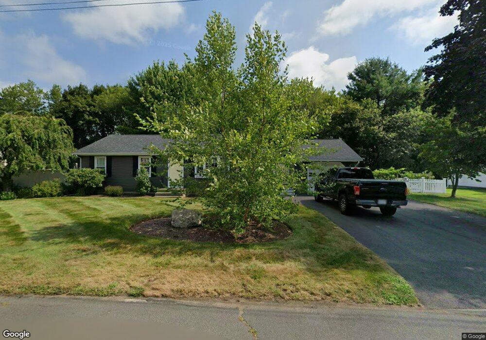
97 George St North Attleboro, MA 02760
North Attleboro NeighborhoodEstimated Value: $509,785 - $572,000
3
Beds
1
Bath
1,144
Sq Ft
$482/Sq Ft
Est. Value
About This Home
This home is located at 97 George St, North Attleboro, MA 02760 and is currently estimated at $550,946, approximately $481 per square foot. 97 George St is a home located in Bristol County with nearby schools including North Attleboro High School, Cadence Academy Preschool - North Attleborough, and Bishop Feehan High School.
Ownership History
Date
Name
Owned For
Owner Type
Purchase Details
Closed on
Sep 6, 2022
Sold by
Spadaro John D
Bought by
Spadaro Brian R
Current Estimated Value
Purchase Details
Closed on
Sep 27, 2021
Sold by
Spadaro John G and Spadaro Paulette L
Bought by
Spadaro John D
Home Financials for this Owner
Home Financials are based on the most recent Mortgage that was taken out on this home.
Original Mortgage
$325,000
Interest Rate
2.8%
Mortgage Type
Purchase Money Mortgage
Purchase Details
Closed on
Jan 1, 1968
Bought by
Spadaro John G
Create a Home Valuation Report for This Property
The Home Valuation Report is an in-depth analysis detailing your home's value as well as a comparison with similar homes in the area
Home Values in the Area
Average Home Value in this Area
Purchase History
| Date | Buyer | Sale Price | Title Company |
|---|---|---|---|
| Spadaro Brian R | -- | None Available | |
| Spadaro John D | $406,250 | None Available | |
| Spadaro John G | -- | -- |
Source: Public Records
Mortgage History
| Date | Status | Borrower | Loan Amount |
|---|---|---|---|
| Previous Owner | Spadaro John D | $325,000 |
Source: Public Records
Tax History Compared to Growth
Tax History
| Year | Tax Paid | Tax Assessment Tax Assessment Total Assessment is a certain percentage of the fair market value that is determined by local assessors to be the total taxable value of land and additions on the property. | Land | Improvement |
|---|---|---|---|---|
| 2025 | $4,875 | $413,500 | $143,200 | $270,300 |
| 2024 | $4,623 | $400,600 | $143,200 | $257,400 |
| 2023 | $4,521 | $353,500 | $143,200 | $210,300 |
| 2022 | $4,219 | $302,900 | $143,200 | $159,700 |
| 2021 | $4,486 | $314,400 | $143,200 | $171,200 |
| 2020 | $4,242 | $295,600 | $143,200 | $152,400 |
| 2019 | $4,024 | $282,600 | $130,200 | $152,400 |
| 2018 | $3,556 | $266,600 | $130,200 | $136,400 |
| 2017 | $3,436 | $259,900 | $130,200 | $129,700 |
| 2016 | $3,530 | $267,000 | $144,700 | $122,300 |
| 2015 | $3,372 | $256,600 | $144,700 | $111,900 |
| 2014 | $3,143 | $237,400 | $127,000 | $110,400 |
Source: Public Records
Map
Nearby Homes
- 116 George St
- 16 Raymond Hall Dr
- 15 Old Wood Rd
- 10 Sleepy Hollow Cir
- 11 Landry Ave
- 28 Messenger St
- 33 Dublin Way
- 2 George St Unit C
- 166 E Bacon St Unit 4
- 9 Sunnyside Dr Unit 9
- 24 Red Coat Ln
- 57 Vine St
- Lot 5 Jeffrey Dr
- Lot 2 Jeffrey Dr
- 2 Woodridge St Unit 2
- 52 George St Unit B
- 56B Taunton St
- 12 Houde St
- 4 Garden Ln
- 115 Westfield Dr
- 89 George St
- 100 George St
- 107 George St
- 86 George St
- 79 George St
- 117 George St
- 24 Ellen St
- 27 Ellen St
- 34 William Tanner Ave
- 71 George St
- 126 George St
- 127 George St
- 26 William Tanner Ave
- 21 Ellen St
- 17 Woodchip Square
- 20 William Tanner Ave
- 15 Woodchip Square
- 13 Woodchip Square
- 137 George St
- 11 Woodchip Square Unit 11