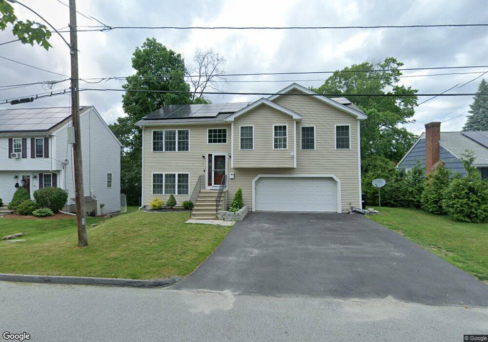
97 Glezen St Unit 1 Worcester, MA 01604
Grafton Hill NeighborhoodEstimated Value: $547,552 - $617,000
3
Beds
2
Baths
1,800
Sq Ft
$328/Sq Ft
Est. Value
About This Home
This home is located at 97 Glezen St Unit 1, Worcester, MA 01604 and is currently estimated at $589,888, approximately $327 per square foot. 97 Glezen St Unit 1 is a home located in Worcester County with nearby schools including Roosevelt Elementary School, Jacob Hiatt Magnet School, and Chandler Magnet.
Ownership History
Date
Name
Owned For
Owner Type
Purchase Details
Closed on
Apr 2, 2021
Sold by
Lwasa Flavia C and Lwasa Phillip
Bought by
Lwasa Flavia C and Lwasa Phillip
Current Estimated Value
Purchase Details
Closed on
Sep 13, 2018
Sold by
Yang Tianliang and Chen Li
Bought by
Najjemba Flavia C and Lwasa Phillip
Home Financials for this Owner
Home Financials are based on the most recent Mortgage that was taken out on this home.
Original Mortgage
$314,105
Interest Rate
4.5%
Mortgage Type
FHA
Create a Home Valuation Report for This Property
The Home Valuation Report is an in-depth analysis detailing your home's value as well as a comparison with similar homes in the area
Home Values in the Area
Average Home Value in this Area
Purchase History
| Date | Buyer | Sale Price | Title Company |
|---|---|---|---|
| Lwasa Flavia C | -- | None Available | |
| Najjemba Flavia C | $319,900 | -- |
Source: Public Records
Mortgage History
| Date | Status | Borrower | Loan Amount |
|---|---|---|---|
| Previous Owner | Najjemba Flavia C | $314,105 |
Source: Public Records
Tax History Compared to Growth
Tax History
| Year | Tax Paid | Tax Assessment Tax Assessment Total Assessment is a certain percentage of the fair market value that is determined by local assessors to be the total taxable value of land and additions on the property. | Land | Improvement |
|---|---|---|---|---|
| 2025 | $7,141 | $541,400 | $117,500 | $423,900 |
| 2024 | $6,967 | $506,700 | $117,500 | $389,200 |
| 2023 | $6,898 | $481,000 | $102,200 | $378,800 |
| 2022 | $6,038 | $397,000 | $81,800 | $315,200 |
| 2021 | $6,250 | $383,900 | $65,400 | $318,500 |
| 2020 | $5,969 | $351,100 | $65,400 | $285,700 |
| 2019 | $5,834 | $324,100 | $58,800 | $265,300 |
| 2018 | $5,845 | $309,100 | $58,800 | $250,300 |
| 2017 | $5,566 | $289,600 | $58,800 | $230,800 |
| 2016 | $5,598 | $271,600 | $42,700 | $228,900 |
| 2015 | $5,451 | $271,600 | $42,700 | $228,900 |
| 2014 | $5,307 | $271,600 | $42,700 | $228,900 |
Source: Public Records
Map
Nearby Homes
- 119 Orton Street Extension
- 21 Middlesex Ave Unit 102
- 24 Benham St Unit B
- 11 Phoenix St
- 496 Hamilton St
- 15 Anderson Ave
- 22 Anderson Ave
- 63 Progressive St
- 65 Progressive St
- 4 Harold St
- 360 Hamilton St
- 340 Hamilton St
- 2 Touraine St
- 270 Coburn Ave
- 70 Harrington Way
- 259 S Quinsigamond Ave
- 270 Sunderland Rd Unit 37
- 23 Canna Dr
- 241 Lake Ave
- 11 Benson St