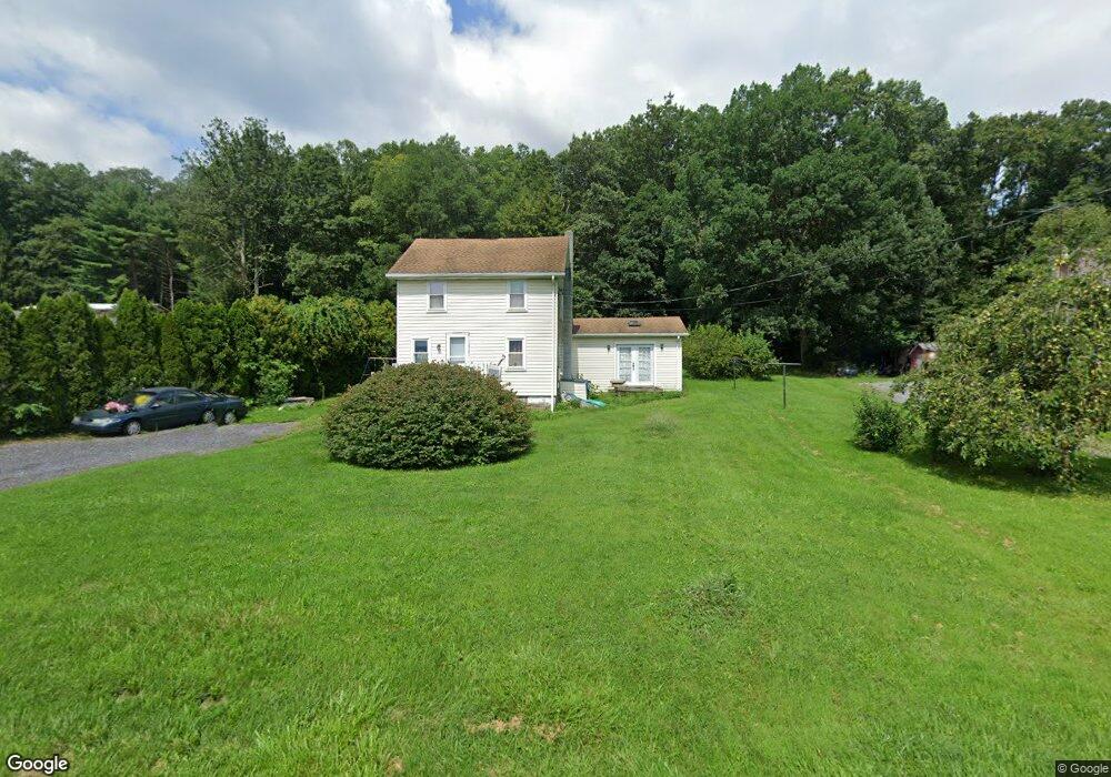
97 Goldmine Rd Jonestown, PA 17038
Estimated Value: $172,000 - $323,000
2
Beds
2
Baths
1,484
Sq Ft
$171/Sq Ft
Est. Value
About This Home
This home is located at 97 Goldmine Rd, Jonestown, PA 17038 and is currently estimated at $253,704, approximately $170 per square foot. 97 Goldmine Rd is a home located in Lebanon County with nearby schools including Northern Lebanon Senior High School.
Ownership History
Date
Name
Owned For
Owner Type
Purchase Details
Closed on
Feb 23, 2005
Sold by
Mease Sherry S and Brown Maynard E
Bought by
Brown Maynard E and Brown Sherry S
Current Estimated Value
Home Financials for this Owner
Home Financials are based on the most recent Mortgage that was taken out on this home.
Original Mortgage
$77,350
Interest Rate
5.73%
Mortgage Type
Adjustable Rate Mortgage/ARM
Create a Home Valuation Report for This Property
The Home Valuation Report is an in-depth analysis detailing your home's value as well as a comparison with similar homes in the area
Home Values in the Area
Average Home Value in this Area
Purchase History
| Date | Buyer | Sale Price | Title Company |
|---|---|---|---|
| Brown Maynard E | -- | None Available |
Source: Public Records
Mortgage History
| Date | Status | Borrower | Loan Amount |
|---|---|---|---|
| Closed | Brown Maynard E | $77,350 |
Source: Public Records
Tax History Compared to Growth
Tax History
| Year | Tax Paid | Tax Assessment Tax Assessment Total Assessment is a certain percentage of the fair market value that is determined by local assessors to be the total taxable value of land and additions on the property. | Land | Improvement |
|---|---|---|---|---|
| 2025 | $2,317 | $106,600 | $23,200 | $83,400 |
| 2024 | $2,045 | $106,600 | $23,200 | $83,400 |
| 2023 | $2,045 | $106,600 | $23,200 | $83,400 |
| 2022 | $1,978 | $106,600 | $23,200 | $83,400 |
| 2021 | $1,857 | $106,600 | $23,200 | $83,400 |
| 2020 | $1,820 | $106,600 | $23,200 | $83,400 |
| 2019 | $1,791 | $106,600 | $23,200 | $83,400 |
| 2018 | $1,749 | $106,600 | $23,200 | $83,400 |
| 2017 | $351 | $106,600 | $23,200 | $83,400 |
| 2016 | $1,696 | $106,600 | $23,200 | $83,400 |
| 2015 | -- | $106,600 | $23,200 | $83,400 |
| 2014 | -- | $106,600 | $23,200 | $83,400 |
Source: Public Records
Map
Nearby Homes
- 1120 Suedberg Rd
- 230 Monroe Valley Dr
- 107 Moonshine Rd
- 3204 State Route 72
- 11 Wolfe Dr
- 0 Darkes Rd Unit PALN2019172
- 848 Trestle Ct
- 6 Fidler Ct
- 1 Fidler Ct
- 116 S 5th St
- 555 Honeysuckle Ct
- 1528 E Grand Ave
- 134 W Wisconisco Ave
- 839 E Grand Ave
- 240 E Grand Ave
- 10 E Grand Ave
- 2 E Grand Ave
- 0 Fisher Ave
- 39 W Grand Ave
- 45 W Grand Ave