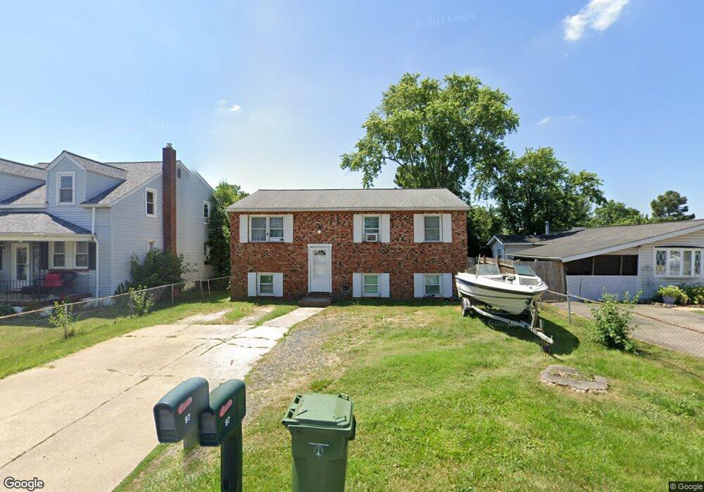
97 Hammonds Ln Brooklyn, MD 21225
Estimated Value: $251,000 - $332,000
Studio
1
Bath
1,008
Sq Ft
$285/Sq Ft
Est. Value
About This Home
This home is located at 97 Hammonds Ln, Brooklyn, MD 21225 and is currently estimated at $287,111, approximately $284 per square foot. 97 Hammonds Ln is a home located in Anne Arundel County with nearby schools including Brooklyn Park Elementary School, Brooklyn Park Middle School, and North County High School.
Ownership History
Date
Name
Owned For
Owner Type
Purchase Details
Closed on
Oct 8, 2012
Sold by
J B Investment Group Inc
Bought by
Moyer John and Moyer Valerie
Current Estimated Value
Home Financials for this Owner
Home Financials are based on the most recent Mortgage that was taken out on this home.
Original Mortgage
$142,511
Interest Rate
3.57%
Mortgage Type
Purchase Money Mortgage
Purchase Details
Closed on
Aug 31, 1993
Sold by
Sec Hud
Bought by
Jb Inv Grp
Purchase Details
Closed on
Jun 23, 1993
Sold by
Ramsay Clarence A
Bought by
Secretary Of H U D Washington D C
Create a Home Valuation Report for This Property
The Home Valuation Report is an in-depth analysis detailing your home's value as well as a comparison with similar homes in the area
Home Values in the Area
Average Home Value in this Area
Purchase History
| Date | Buyer | Sale Price | Title Company |
|---|---|---|---|
| Moyer John | $140,000 | Commonwealth Land Title Insu | |
| Jb Inv Grp | $63,350 | -- | |
| Secretary Of H U D Washington D C | $90,000 | -- |
Source: Public Records
Mortgage History
| Date | Status | Borrower | Loan Amount |
|---|---|---|---|
| Closed | Moyer John | $142,511 |
Source: Public Records
Tax History
| Year | Tax Paid | Tax Assessment Tax Assessment Total Assessment is a certain percentage of the fair market value that is determined by local assessors to be the total taxable value of land and additions on the property. | Land | Improvement |
|---|---|---|---|---|
| 2025 | $3,246 | $265,600 | $102,600 | $163,000 |
| 2024 | $3,246 | $250,533 | $0 | $0 |
| 2023 | $2,571 | $235,467 | $0 | $0 |
| 2022 | $2,303 | $220,400 | $91,500 | $128,900 |
| 2020 | $2,664 | $217,667 | $0 | $0 |
| 2019 | $2,652 | $216,300 | $91,500 | $124,800 |
| 2018 | $2,162 | $213,200 | $0 | $0 |
| 2017 | $2,062 | $210,100 | $0 | $0 |
| 2016 | -- | $207,000 | $0 | $0 |
| 2015 | -- | $201,000 | $0 | $0 |
| 2014 | -- | $195,000 | $0 | $0 |
Source: Public Records
Map
Nearby Homes
- 10 Cedar Hill Rd
- 205 Camrose Ave
- 120 Cedar Hill Rd
- 308 Holy Cross Rd
- 318 Holy Cross Rd
- 5912 Helfrich Rd
- 135 John Daniel Way
- 5701 Magie St
- 6012 Workers Dr
- 6024 Workers Dr
- 110 Bethlehem Place
- 5300 Brookwood Rd
- 635 Sunset Strip
- 5913 Yates Ct Unit CLARENDON
- 5921 Yates Ct
- 5719 Redmond St
- 5210 Brookwood Rd
- Clarendon w/ Finished Rec Room Plan at Cedar Hill Townhomes
- Aria 1-Car Garage Plan at Cedar Hill Townhomes
- Ballad 1-Car Garage Plan at Cedar Hill Townhomes
Your Personal Tour Guide
Ask me questions while you tour the home.