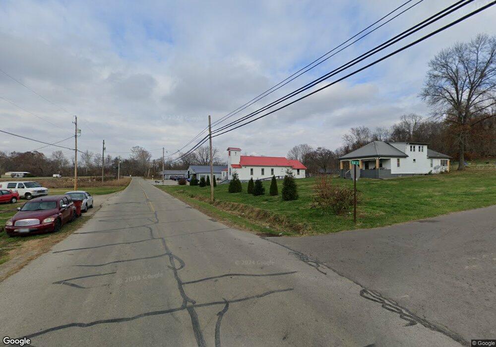
97 High St Wheelersburg, OH 45694
Estimated Value: $103,000 - $180,000
3
Beds
1
Bath
1,296
Sq Ft
$108/Sq Ft
Est. Value
About This Home
This home is located at 97 High St, Wheelersburg, OH 45694 and is currently estimated at $140,268, approximately $108 per square foot. 97 High St is a home located in Scioto County with nearby schools including Wheelersburg Elementary School, Wheelersburg Middle School, and Wheelersburg High School.
Ownership History
Date
Name
Owned For
Owner Type
Purchase Details
Closed on
Feb 24, 2022
Sold by
Dale Frazier Everett
Bought by
Thatcher Carl D
Current Estimated Value
Purchase Details
Closed on
Sep 4, 2018
Sold by
Frazier Priscilla
Bought by
Frazier Everett Dale
Purchase Details
Closed on
May 8, 2017
Sold by
Frazier Priscilla and Frazier Thomas
Bought by
Frazier Priscilla
Purchase Details
Closed on
Jul 3, 2007
Sold by
Farkas Lenore E and The Lenore E Farkas Declarati
Bought by
Frazier Priscilla and Frazier Thomas
Purchase Details
Closed on
Dec 20, 2004
Bought by
Farkas Lenore E Declarati
Purchase Details
Closed on
Jan 23, 2004
Sold by
Ehrhart Charles E
Bought by
Beebles Investment Inc
Purchase Details
Closed on
Jul 16, 2002
Sold by
Carter Phillip D + Gerry
Bought by
Ehrhart Charles E
Create a Home Valuation Report for This Property
The Home Valuation Report is an in-depth analysis detailing your home's value as well as a comparison with similar homes in the area
Home Values in the Area
Average Home Value in this Area
Purchase History
| Date | Buyer | Sale Price | Title Company |
|---|---|---|---|
| Thatcher Carl D | $75,000 | -- | |
| Frazier Everett Dale | -- | None Available | |
| Frazier Priscilla | -- | -- | |
| Frazier Priscilla | -- | -- | |
| Farkas Lenore E Declarati | $50,400 | -- | |
| Beebles Investment Inc | -- | -- | |
| Ehrhart Charles E | -- | -- |
Source: Public Records
Tax History Compared to Growth
Tax History
| Year | Tax Paid | Tax Assessment Tax Assessment Total Assessment is a certain percentage of the fair market value that is determined by local assessors to be the total taxable value of land and additions on the property. | Land | Improvement |
|---|---|---|---|---|
| 2024 | $1,493 | $30,450 | $7,000 | $23,450 |
| 2023 | $1,421 | $30,450 | $7,000 | $23,450 |
| 2022 | $1,419 | $30,450 | $7,000 | $23,450 |
| 2021 | $1,480 | $25,570 | $6,390 | $19,180 |
| 2020 | $1,185 | $25,570 | $6,390 | $19,180 |
| 2019 | $1,807 | $23,370 | $6,090 | $17,280 |
| 2018 | $1,098 | $23,370 | $6,090 | $17,280 |
| 2017 | $1,097 | $23,370 | $6,090 | $17,280 |
| 2016 | $1,093 | $24,960 | $5,790 | $19,170 |
| 2015 | $1,172 | $24,960 | $5,790 | $19,170 |
| 2013 | $1,109 | $24,960 | $5,790 | $19,170 |
Source: Public Records
Map
Nearby Homes
- 112 Cherry St
- 0 Patriot Ridge Dr
- 0 Harrison Ave
- 175 Harrison Ave
- 10391 Gallia Pike
- 0 Ohio 522 Unit 152342
- 10 Hummingbird Ln
- 0 Gerlach Rd Unit 152351
- 0 Gerlach Rd
- 636 Havenwood Dr
- 645 Havenwood Dr
- 1048 North St
- 3272 Big Pete Rd
- 3272 Big Pete Rd Unit A
- 0 York Ave Unit 154110
- 0 Lick Run-Lyra Rd
- 0 Ohio River Rd Unit 152541
- 0 Ohio River Rd Unit 152771
- 0 Ohio River Rd Unit 58630
- 716 Connie Ave