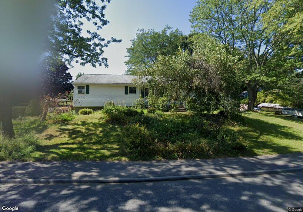
97 Leoleis Dr Marlborough, MA 01752
Estimated Value: $541,000 - $649,000
3
Beds
2
Baths
1,609
Sq Ft
$372/Sq Ft
Est. Value
About This Home
This home is located at 97 Leoleis Dr, Marlborough, MA 01752 and is currently estimated at $598,335, approximately $371 per square foot. 97 Leoleis Dr is a home located in Middlesex County with nearby schools including Marlborough High School, Advanced Math & Science Academy, and New Covenant Christian School.
Ownership History
Date
Name
Owned For
Owner Type
Purchase Details
Closed on
Feb 1, 1995
Sold by
Callahan James F and Callahan Susan E
Bought by
Lange Patricia M
Current Estimated Value
Home Financials for this Owner
Home Financials are based on the most recent Mortgage that was taken out on this home.
Original Mortgage
$107,700
Interest Rate
9.13%
Mortgage Type
Purchase Money Mortgage
Purchase Details
Closed on
Apr 4, 1990
Sold by
Lange A Paul
Bought by
Callahan James F
Home Financials for this Owner
Home Financials are based on the most recent Mortgage that was taken out on this home.
Original Mortgage
$99,200
Interest Rate
10.22%
Mortgage Type
Purchase Money Mortgage
Create a Home Valuation Report for This Property
The Home Valuation Report is an in-depth analysis detailing your home's value as well as a comparison with similar homes in the area
Home Values in the Area
Average Home Value in this Area
Purchase History
| Date | Buyer | Sale Price | Title Company |
|---|---|---|---|
| Lange Patricia M | $113,400 | -- | |
| Callahan James F | $17,000 | -- |
Source: Public Records
Mortgage History
| Date | Status | Borrower | Loan Amount |
|---|---|---|---|
| Open | Callahan James F | $100,000 | |
| Closed | Callahan James F | $123,750 | |
| Closed | Callahan James F | $107,700 | |
| Previous Owner | Callahan James F | $99,200 |
Source: Public Records
Tax History Compared to Growth
Tax History
| Year | Tax Paid | Tax Assessment Tax Assessment Total Assessment is a certain percentage of the fair market value that is determined by local assessors to be the total taxable value of land and additions on the property. | Land | Improvement |
|---|---|---|---|---|
| 2025 | $4,578 | $464,300 | $224,100 | $240,200 |
| 2024 | $4,639 | $453,000 | $203,700 | $249,300 |
| 2023 | $4,814 | $417,200 | $173,500 | $243,700 |
| 2022 | $4,710 | $359,000 | $165,200 | $193,800 |
| 2021 | $4,772 | $345,800 | $137,700 | $208,100 |
| 2020 | $4,728 | $333,400 | $131,100 | $202,300 |
| 2019 | $4,633 | $329,300 | $128,500 | $200,800 |
| 2018 | $4,304 | $294,200 | $106,300 | $187,900 |
| 2017 | $4,277 | $279,200 | $104,500 | $174,700 |
| 2016 | $4,162 | $271,300 | $104,500 | $166,800 |
| 2015 | $3,882 | $246,300 | $107,200 | $139,100 |
Source: Public Records
Map
Nearby Homes
- 273 W Main St Unit B12
- 30 Broad St Unit 104
- 30A Winter Ave
- 76 Broad St
- 11 Paris St
- 39 Desimone Dr
- 102 Liberty St
- 115 W Main St
- 32 Water St
- 61 Fairmount St Unit 11
- 2 Adams St
- 156 Chestnut St
- 11 Whispering Brook Rd Unit 55
- 87 Neil St
- 110 Pleasant St Unit 401
- 72 Chestnut St
- 111 Howe St
- 53 Mechanic St
- 3 Madison St
- 118 Elm St