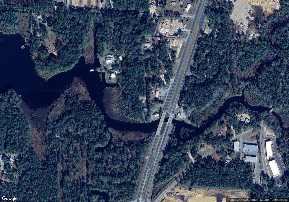
97 Lowery Rd Unit 99 Freeport, FL 32439
Estimated Value: $281,000 - $518,000
5
Beds
2
Baths
1,611
Sq Ft
$246/Sq Ft
Est. Value
About This Home
This home is located at 97 Lowery Rd Unit 99, Freeport, FL 32439 and is currently estimated at $396,646, approximately $246 per square foot. 97 Lowery Rd Unit 99 is a home located in Walton County with nearby schools including Freeport Elementary School, Freeport Middle School, and Freeport Senior High School.
Ownership History
Date
Name
Owned For
Owner Type
Purchase Details
Closed on
Jul 22, 2021
Sold by
Chambers Joseph Martin and Chambers Judy Carnathan
Bought by
Chambers Joseph Martin and Chambers Judy Carnathan
Current Estimated Value
Purchase Details
Closed on
Jun 8, 2004
Sold by
Hahn Eldred Donald B and Hahn Eldred Nancy
Bought by
Carnathan Chambers Joseph Martin and Carnathan Chambers Judy
Home Financials for this Owner
Home Financials are based on the most recent Mortgage that was taken out on this home.
Original Mortgage
$285,000
Interest Rate
6%
Mortgage Type
Seller Take Back
Purchase Details
Closed on
Aug 21, 2001
Sold by
Hahn Eldred Donald B and Hahn Eldred Nancy
Bought by
Hahn Eldred Donald B and Hahn Eldred Nancy
Create a Home Valuation Report for This Property
The Home Valuation Report is an in-depth analysis detailing your home's value as well as a comparison with similar homes in the area
Home Values in the Area
Average Home Value in this Area
Purchase History
| Date | Buyer | Sale Price | Title Company |
|---|---|---|---|
| Chambers Joseph Martin | -- | Attorney | |
| Carnathan Chambers Joseph Martin | $300,000 | Mcgill Escrow & Title Llc | |
| Hahn Eldred Donald B | -- | -- |
Source: Public Records
Mortgage History
| Date | Status | Borrower | Loan Amount |
|---|---|---|---|
| Closed | Carnathan Chambers Joseph Martin | $285,000 |
Source: Public Records
Tax History Compared to Growth
Tax History
| Year | Tax Paid | Tax Assessment Tax Assessment Total Assessment is a certain percentage of the fair market value that is determined by local assessors to be the total taxable value of land and additions on the property. | Land | Improvement |
|---|---|---|---|---|
| 2025 | $3,105 | $235,795 | $105,141 | $130,654 |
| 2024 | $3,041 | $236,495 | $105,141 | $131,354 |
| 2023 | $3,041 | $213,682 | $0 | $0 |
| 2022 | $2,790 | $230,202 | $116,707 | $113,495 |
| 2021 | $2,524 | $186,215 | $97,218 | $88,997 |
| 2020 | $2,313 | $160,542 | $82,286 | $78,256 |
| 2019 | $2,256 | $156,924 | $79,889 | $77,035 |
| 2018 | $2,219 | $153,664 | $0 | $0 |
| 2017 | $2,129 | $146,627 | $71,066 | $75,561 |
| 2016 | $1,934 | $142,298 | $0 | $0 |
| 2015 | $2,087 | $140,818 | $0 | $0 |
| 2014 | $1,517 | $141,498 | $0 | $0 |
Source: Public Records
Map
Nearby Homes
- 121 Ramsey Branch Rd
- 193 Ramsey Bridge Rd
- 168 Jones Dr
- 219 Jones Dr
- xxx Jones Dr
- 90 Jones Dr
- 130 Lagrange Rd
- TBD Sparkleberry Ln
- 448 Holly Point Rd
- Lot 9 Holly Point Rd
- XX Us Highway 331
- 699 Riverwalk Cir
- 146 Old Canoe Ln
- 135 Cool Breeze Dr
- 115 Speckled Trout Ln S
- 49 Cool Breeze Dr
- 10 Riverwalk Crossing
- 24 Riverwalk Cir
- 216 Beaver Trail Dr
- 460 Riverwalk Cir
- 17658 Us Hwy 331 S
- 17598 Us Highway 331 S
- 17661 Us Highway 331 S
- 85 Lowery Rd
- 00 Lowery Rd
- 167 Lowery Rd
- 88 Lowery Rd
- 172 Lowery Rd
- 50 Lowery Rd
- 30 Lowery Rd
- 103 Jennings Rd
- 145 Jennings Rd
- 141 Ramsey Branch Rd
- 187 Jennings Rd
- XX Jennings Rd
- 150 Jennings Rd
- 193 Ramsey Branch Rd
- 10 Lagrange Rd
- 170 Jennings Rd
- 00 Jones Dr
