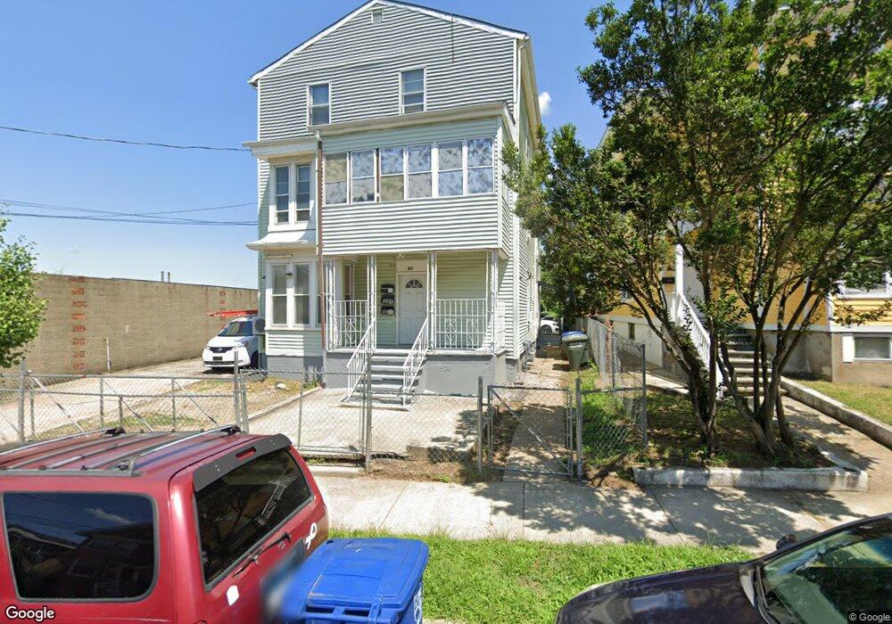
97 Maple St Bridgeport, CT 06608
East Side Bridgeport NeighborhoodEstimated Value: $400,249 - $1,200,000
6
Beds
3
Baths
3,402
Sq Ft
$196/Sq Ft
Est. Value
About This Home
This home is located at 97 Maple St, Bridgeport, CT 06608 and is currently estimated at $667,062, approximately $196 per square foot. 97 Maple St is a home located in Fairfield County with nearby schools including Barnum School, Harding High School, and Capital Prep Harbor Upper School.
Ownership History
Date
Name
Owned For
Owner Type
Purchase Details
Closed on
Oct 25, 2004
Sold by
Tarazona Pedro and Tarazona Martha
Bought by
Bui Cuong and Truong Kim
Current Estimated Value
Home Financials for this Owner
Home Financials are based on the most recent Mortgage that was taken out on this home.
Original Mortgage
$246,050
Interest Rate
8.24%
Purchase Details
Closed on
Oct 27, 2003
Sold by
Cryz Wilfredo
Bought by
Tazazona Pedro and Tazazona Martha
Purchase Details
Closed on
Apr 3, 1998
Sold by
Cruz Julio and Cruz Mercedes
Bought by
Cruz Wilfredo
Create a Home Valuation Report for This Property
The Home Valuation Report is an in-depth analysis detailing your home's value as well as a comparison with similar homes in the area
Home Values in the Area
Average Home Value in this Area
Purchase History
| Date | Buyer | Sale Price | Title Company |
|---|---|---|---|
| Bui Cuong | $259,000 | -- | |
| Bui Cuong | $259,000 | -- | |
| Tazazona Pedro | $166,000 | -- | |
| Tazazona Pedro | $166,000 | -- | |
| Cruz Wilfredo | $50,000 | -- | |
| Cruz Wilfredo | $50,000 | -- |
Source: Public Records
Mortgage History
| Date | Status | Borrower | Loan Amount |
|---|---|---|---|
| Open | Cruz Wilfredo | $292,250 | |
| Closed | Cruz Wilfredo | $246,050 |
Source: Public Records
Tax History
| Year | Tax Paid | Tax Assessment Tax Assessment Total Assessment is a certain percentage of the fair market value that is determined by local assessors to be the total taxable value of land and additions on the property. | Land | Improvement |
|---|---|---|---|---|
| 2025 | $7,867 | $181,050 | $42,070 | $138,980 |
| 2024 | $7,867 | $181,050 | $42,070 | $138,980 |
| 2023 | $7,867 | $181,050 | $42,070 | $138,980 |
| 2022 | $7,867 | $181,050 | $42,070 | $138,980 |
| 2021 | $7,867 | $181,050 | $42,070 | $138,980 |
| 2020 | $6,781 | $125,600 | $9,950 | $115,650 |
| 2019 | $6,781 | $125,600 | $9,950 | $115,650 |
| 2018 | $6,829 | $125,600 | $9,950 | $115,650 |
| 2017 | $6,829 | $125,600 | $9,950 | $115,650 |
| 2016 | $6,829 | $125,600 | $9,950 | $115,650 |
| 2015 | $7,271 | $172,290 | $19,280 | $153,010 |
| 2014 | $7,271 | $172,290 | $19,280 | $153,010 |
Source: Public Records
Map
Nearby Homes
- 40-42 Jane St
- 39 Jane St
- 349 Noble Ave Unit 355
- 99 William St Unit B
- 34-40 Hayes St
- 274 Park St
- 584 Kossuth St
- 369 Park St
- 690 William St
- 236 Brooks St
- 751 E Main St
- 750 William St
- 502 Berkshire Ave
- 108 Lindley St Unit 114
- 691 E Main St
- 500 Park St
- 1365 E Main St
- 1218 Kossuth St
- 1220 Pembroke St
- 619 Brooks St Unit 621
- 103 Maple St Unit 111
- 116 Arctic St
- 100 Maple St Unit 106
- 94 Maple St
- 94 Maple St Unit 2
- 110 Maple St Unit 114
- 84 Maple St
- 118 Maple St Unit 120
- 108 Arctic St
- 117 Maple St
- 315 William St
- 384 Knowlton St
- 9 Armstrong Place
- 380 Knowlton St
- 13 Armstrong Place
- 13 Armstrong Place Unit 3
- 7 Armstrong Place
- 7 Armstrong Place Unit 1st
- 7 Armstrong Place Unit 2
- 128 Arctic St
Your Personal Tour Guide
Ask me questions while you tour the home.