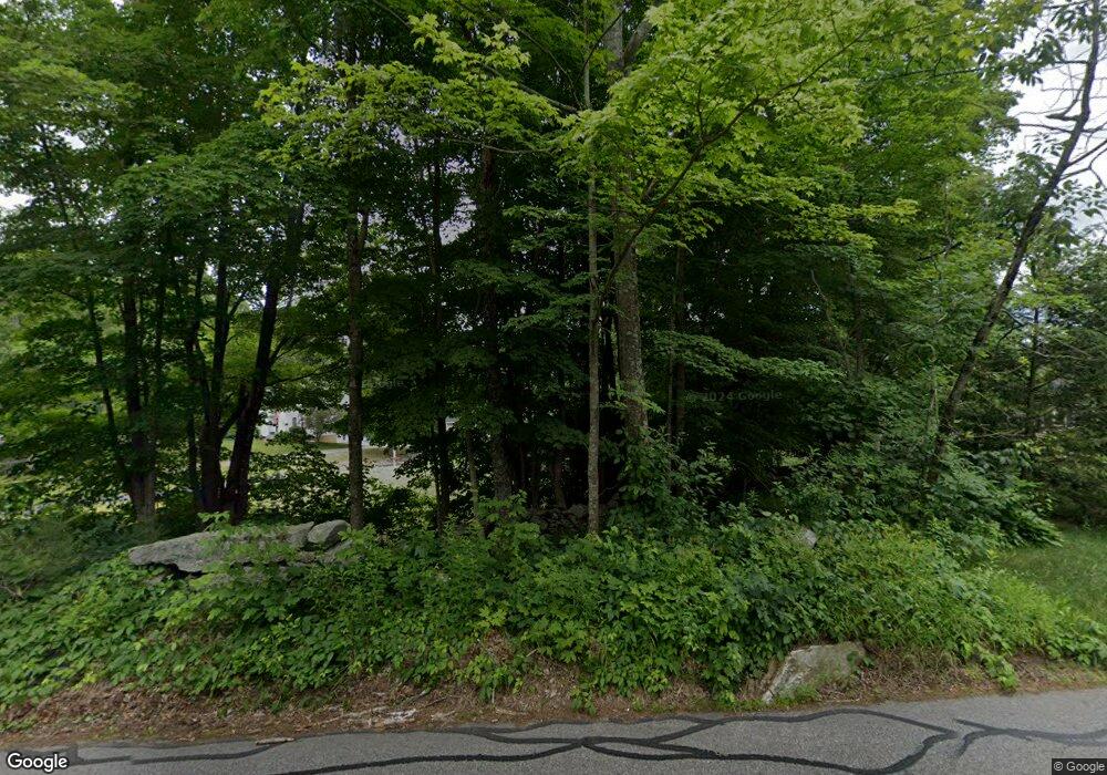
97 Mccracken Rd Millbury, MA 01527
Estimated Value: $729,900 - $830,000
3
Beds
4
Baths
2,370
Sq Ft
$329/Sq Ft
Est. Value
About This Home
This home is located at 97 Mccracken Rd, Millbury, MA 01527 and is currently estimated at $779,225, approximately $328 per square foot. 97 Mccracken Rd is a home located in Worcester County with nearby schools including Elmwood Street Elementary School, Raymond E. Shaw Elementary School, and Millbury Junior/Senior High School.
Ownership History
Date
Name
Owned For
Owner Type
Purchase Details
Closed on
Aug 29, 1997
Sold by
Zanadu Inc
Bought by
Favreau Kevin J and Favreau Teresa M
Current Estimated Value
Home Financials for this Owner
Home Financials are based on the most recent Mortgage that was taken out on this home.
Original Mortgage
$145,000
Interest Rate
7.41%
Mortgage Type
Purchase Money Mortgage
Create a Home Valuation Report for This Property
The Home Valuation Report is an in-depth analysis detailing your home's value as well as a comparison with similar homes in the area
Home Values in the Area
Average Home Value in this Area
Purchase History
| Date | Buyer | Sale Price | Title Company |
|---|---|---|---|
| Favreau Kevin J | $207,000 | -- |
Source: Public Records
Mortgage History
| Date | Status | Borrower | Loan Amount |
|---|---|---|---|
| Open | Favreau Kevin J | $55,000 | |
| Closed | Favreau Kevin J | $18,000 | |
| Open | Favreau Kevin J | $143,200 | |
| Closed | Favreau Kevin J | $145,000 |
Source: Public Records
Tax History
| Year | Tax Paid | Tax Assessment Tax Assessment Total Assessment is a certain percentage of the fair market value that is determined by local assessors to be the total taxable value of land and additions on the property. | Land | Improvement |
|---|---|---|---|---|
| 2025 | $8,817 | $658,500 | $137,200 | $521,300 |
| 2024 | $8,070 | $610,000 | $127,100 | $482,900 |
| 2023 | $7,362 | $509,500 | $89,300 | $420,200 |
| 2022 | $6,560 | $437,300 | $89,300 | $348,000 |
| 2021 | $3,717 | $419,600 | $89,300 | $330,300 |
| 2020 | $157 | $413,600 | $89,300 | $324,300 |
| 2019 | $6,307 | $397,900 | $88,800 | $309,100 |
| 2018 | $6,678 | $408,700 | $88,800 | $319,900 |
| 2017 | $5,849 | $356,000 | $88,800 | $267,200 |
| 2016 | $5,931 | $360,300 | $88,800 | $271,500 |
| 2015 | $5,749 | $349,300 | $90,300 | $259,000 |
| 2014 | $5,395 | $315,500 | $94,300 | $221,200 |
Source: Public Records
Map
Nearby Homes
- 557 SW Cutoff Unit 55
- 557 SW Cutoff Unit 17
- 2 Breezy Bend
- 0 Auburn Rd
- 2 Victoria Dr Unit 1
- 0 Worcester Providence Turnpike
- 61 School St
- 62 School St
- 301 Forest Park Dr
- 501 Forest Park Dr Unit 501
- 2 Mystic St
- 57 Horne Way Unit 57
- 39 Johnson St
- 6 George St
- 29 Manor Rd
- 196 Horne Way Unit 196
- 100 Horne Way
- 31 Walsh Ave
- 31-33 Walsh Ave
- 33 Walsh Ave
- 99 Mccracken Rd
- 95 Mccracken Rd
- Lot 1 Mccracken Rd
- Lot 2 Mccracken Rd
- 104 Mccracken Rd
- 104 Mccracken Rd
- 104 Mccracken Rd
- 104 Mccracken Rd
- 104 Mccracken Rd
- 104 Mccracken Rd Unit 104
- 1 Hidden Meadow Dr
- 2 Hidden Meadow Dr
- 100 Mccracken Rd
- 103 Mccracken Rd
- 91 Mccracken Rd
- 3 Hidden Meadow Dr
- 105 Mccracken Rd
- 5 Hidden Meadow Dr
- 92 Mccracken Rd
- 4 Hidden Meadow Dr
Your Personal Tour Guide
Ask me questions while you tour the home.
