Estimated Value: $207,000 - $346,000
2
Beds
2
Baths
--
Sq Ft
1
Acres
About This Home
This home is located at 97 Merry Rd, Anson, ME 04911 and is currently estimated at $263,767. 97 Merry Rd is a home located in Somerset County.
Ownership History
Date
Name
Owned For
Owner Type
Purchase Details
Closed on
Aug 6, 2019
Sold by
German Rene J
Bought by
Webber Tony A
Current Estimated Value
Purchase Details
Closed on
Mar 12, 2015
Sold by
Fv-I Inc T
Bought by
Fv-I Inc T and Morgan Stanley Mtg Tr
Purchase Details
Closed on
Jul 6, 2006
Sold by
Merry Audrey M
Bought by
Steward Anthony M and Steward Jaime L
Home Financials for this Owner
Home Financials are based on the most recent Mortgage that was taken out on this home.
Original Mortgage
$100,000
Interest Rate
6.6%
Mortgage Type
Commercial
Create a Home Valuation Report for This Property
The Home Valuation Report is an in-depth analysis detailing your home's value as well as a comparison with similar homes in the area
Home Values in the Area
Average Home Value in this Area
Purchase History
| Date | Buyer | Sale Price | Title Company |
|---|---|---|---|
| Webber Tony A | -- | -- | |
| Fv-I Inc T | -- | -- | |
| Steward Anthony M | -- | -- |
Source: Public Records
Mortgage History
| Date | Status | Borrower | Loan Amount |
|---|---|---|---|
| Previous Owner | Steward Anthony M | $100,000 | |
| Previous Owner | Steward Anthony M | $25,000 |
Source: Public Records
Tax History Compared to Growth
Tax History
| Year | Tax Paid | Tax Assessment Tax Assessment Total Assessment is a certain percentage of the fair market value that is determined by local assessors to be the total taxable value of land and additions on the property. | Land | Improvement |
|---|---|---|---|---|
| 2025 | $3,047 | $164,880 | $30,600 | $134,280 |
| 2024 | $2,704 | $164,880 | $30,600 | $134,280 |
| 2023 | $2,355 | $123,970 | $23,010 | $100,960 |
| 2022 | $2,090 | $116,130 | $22,060 | $94,070 |
| 2021 | $2,095 | $100,980 | $19,180 | $81,800 |
| 2020 | $2,247 | $100,980 | $19,180 | $81,800 |
| 2019 | $2,130 | $96,830 | $19,180 | $77,650 |
| 2018 | $2,031 | $96,830 | $19,180 | $77,650 |
| 2017 | $1,850 | $92,510 | $19,180 | $73,330 |
| 2016 | $1,748 | $92,510 | $19,180 | $73,330 |
| 2015 | $1,850 | $92,510 | $19,180 | $73,330 |
| 2014 | $1,850 | $92,510 | $19,180 | $73,330 |
| 2013 | $1,813 | $92,510 | $19,180 | $73,330 |
Source: Public Records
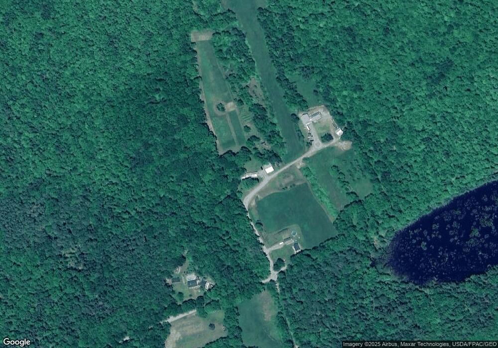
Map
Nearby Homes
- 118 Merry Rd
- 112 Merry Rd
- 72 Dinsmore Rd
- 326 Pease Hill Rd
- 312 Pease Hill Rd
- 304 Pease Hill Rd
- 332 Pease Hill Rd
- 282 Pease Hill Rd
- 209 Pease Hill Rd
- 338 Pease Hill Rd
- 242 Pease Hill Rd
- 354 Pease Hill Rd
- 268 Pease Hill Rd
- 372 Pease Hill Rd
- M14 L1-4A Off Miller Rd
- 394 Pease Hill Rd
- 01 Hollin Waite Rd
- 9 Hollin Waite Hill Rd
- 0 Hollin Waite Hill Rd Unit 1552578
- 0 Hollin Waite Rd Unit 809514