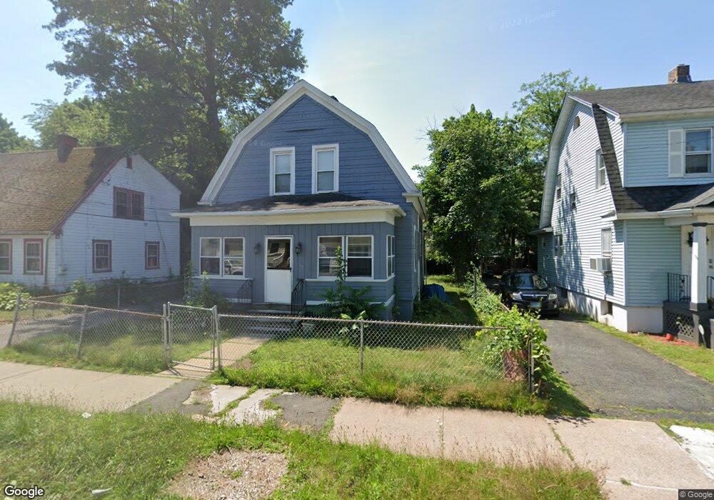
97 Morningside St W Hartford, CT 06112
Blue Hills NeighborhoodEstimated Value: $241,000 - $281,000
3
Beds
2
Baths
1,479
Sq Ft
$174/Sq Ft
Est. Value
About This Home
This home is located at 97 Morningside St W, Hartford, CT 06112 and is currently estimated at $257,971, approximately $174 per square foot. 97 Morningside St W is a home located in Hartford County with nearby schools including Rawson School, Noah Webster Micro Society School, and McKinley School.
Ownership History
Date
Name
Owned For
Owner Type
Purchase Details
Closed on
Apr 26, 2021
Sold by
Uper Cut Barbers Llc
Bought by
Knight Investments Llc
Current Estimated Value
Purchase Details
Closed on
Jul 25, 2019
Sold by
Perkins Cheryl and Knight Delores A
Bought by
Knight Clifford A
Create a Home Valuation Report for This Property
The Home Valuation Report is an in-depth analysis detailing your home's value as well as a comparison with similar homes in the area
Home Values in the Area
Average Home Value in this Area
Purchase History
| Date | Buyer | Sale Price | Title Company |
|---|---|---|---|
| Knight Investments Llc | -- | None Available | |
| Knight Clifford A | -- | -- |
Source: Public Records
Tax History Compared to Growth
Tax History
| Year | Tax Paid | Tax Assessment Tax Assessment Total Assessment is a certain percentage of the fair market value that is determined by local assessors to be the total taxable value of land and additions on the property. | Land | Improvement |
|---|---|---|---|---|
| 2025 | $4,272 | $61,961 | $6,027 | $55,934 |
| 2024 | $4,272 | $61,961 | $6,027 | $55,934 |
| 2023 | $4,272 | $61,961 | $6,027 | $55,934 |
| 2022 | $4,272 | $61,961 | $6,027 | $55,934 |
| 2021 | $3,276 | $44,100 | $7,140 | $36,960 |
| 2020 | $3,276 | $44,100 | $7,140 | $36,960 |
| 2019 | $3,276 | $44,100 | $7,140 | $36,960 |
| 2018 | $3,166 | $42,613 | $6,899 | $35,714 |
| 2016 | $3,061 | $41,197 | $6,571 | $34,626 |
| 2015 | $2,915 | $39,240 | $6,259 | $32,981 |
| 2014 | $2,844 | $38,280 | $6,105 | $32,175 |
Source: Public Records
Map
Nearby Homes
- 70 Burnham St Unit 72
- 77 Harold St
- 147 Morningside St W
- 180 Brookline Ave
- 86 Hartland St
- 125 Lebanon St Unit 127
- 171 N Canaan St
- 11 Pershing St Unit 13
- 30 Harding Ave
- 90 Manchester St
- 10 Baltic St Unit 12
- 355 Cornwall St Unit 357
- 97 E Burnham St
- 36 Baltic St Unit 38
- 67 Elizabeth Ave
- 179 Manchester St
- 97 Boothbay St
- 13 Patton Rd
- 117 E Harold St
- 181 Westminster St
- 101 Morningside St W
- 93 Morningside St W
- 105 Morningside St W
- 89 Morningside St W
- 98 Euclid St W
- 102 Euclid St W
- 92 Euclid St W Unit 94
- 109 Morningside St W
- 85 Morningside St W
- 104 Euclid St W Unit 106
- 88 Euclid St W
- 98 Morningside St W
- 100 Morningside St W
- 92 Morningside St W Unit 94
- 106 Morningside St W
- 108 Euclid St W Unit 110
- 86 Euclid St W
- 90 Morningside St W
- 113 Morningside St W
- 81 Morningside St W