97 Naushon Ave South Dartmouth, MA 02748
Cow Yard/Nonquitt NeighborhoodEstimated Value: $1,657,000 - $1,978,000
5
Beds
3
Baths
2,221
Sq Ft
$806/Sq Ft
Est. Value
About This Home
This home is located at 97 Naushon Ave, South Dartmouth, MA 02748 and is currently estimated at $1,789,887, approximately $805 per square foot. 97 Naushon Ave is a home with nearby schools including Dartmouth High School.
Ownership History
Date
Name
Owned For
Owner Type
Purchase Details
Closed on
Aug 18, 2020
Sold by
Bailey James C
Bought by
James C Bailey 1999 T
Current Estimated Value
Create a Home Valuation Report for This Property
The Home Valuation Report is an in-depth analysis detailing your home's value as well as a comparison with similar homes in the area
Home Values in the Area
Average Home Value in this Area
Purchase History
| Date | Buyer | Sale Price | Title Company |
|---|---|---|---|
| James C Bailey 1999 T | -- | None Available |
Source: Public Records
Tax History Compared to Growth
Tax History
| Year | Tax Paid | Tax Assessment Tax Assessment Total Assessment is a certain percentage of the fair market value that is determined by local assessors to be the total taxable value of land and additions on the property. | Land | Improvement |
|---|---|---|---|---|
| 2025 | $12,042 | $1,398,600 | $944,200 | $454,400 |
| 2024 | $12,435 | $1,430,900 | $1,016,300 | $414,600 |
| 2023 | $10,088 | $1,100,100 | $717,300 | $382,800 |
| 2022 | $10,234 | $1,033,700 | $717,300 | $316,400 |
| 2021 | $11,719 | $1,131,200 | $805,100 | $326,100 |
| 2020 | $3,880 | $1,235,400 | $924,200 | $311,200 |
| 2019 | $12,662 | $1,217,500 | $924,200 | $293,300 |
| 2018 | $3,935 | $1,250,600 | $973,200 | $277,400 |
| 2017 | $12,015 | $1,199,100 | $918,200 | $280,900 |
| 2016 | $11,869 | $1,168,200 | $918,200 | $250,000 |
| 2015 | $11,328 | $1,117,200 | $864,100 | $253,100 |
| 2014 | $11,096 | $1,086,800 | $839,400 | $247,400 |
Source: Public Records
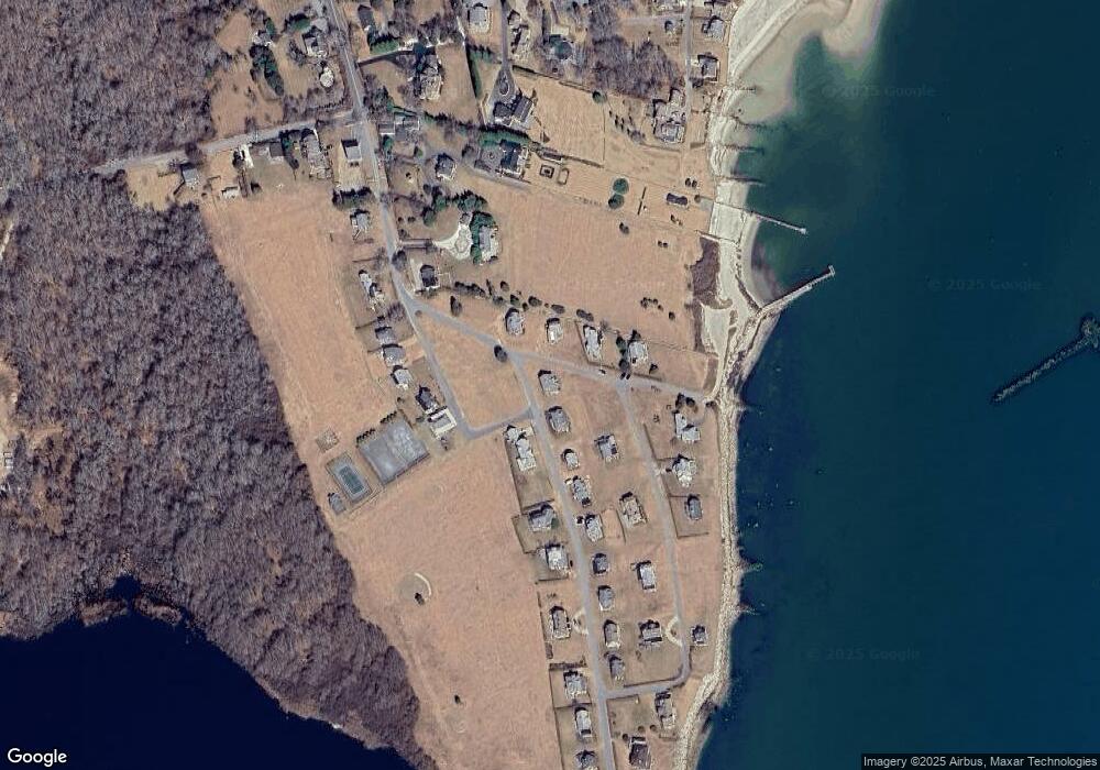
Map
Nearby Homes
- 12 Meadow Shores Rd
- 158 Little River Rd
- 24 Eagle Dr
- 62 Hetty Green St Unit 62
- 48 N Shore Dr Unit 3&7
- 48 N Shore Dr Unit 8
- 482 Smith Neck Rd
- 24 White Alder Way
- Lot 1 Rafael Rd
- 105 Rock Odundee Rd
- 738 Smith Neck Rd
- 61 Pardon Hill Rd
- Lot 2E Horseneck Rd
- 248 Bakerville Rd
- 23 High St
- Lot 2 Horseneck Rd
- 40 School St
- 1150 Russells Mills Rd
- 0 Stoneledge Rd
- 00 Prospect St
- 93 Naushon Ave
- 33 Buzzards Bay Ave
- 29 Buzzards Bay Ave
- 37 Buzzards Bay Ave
- 89 Naushon Ave
- 98 Naushon Ave
- 25 Buzzards Bay Ave
- 25 Buzzards Bay Ave Unit 1
- 20 Gosnold Ave
- 85 Naushon Ave
- 104 Ocean Ave
- 19 Gosnold Ave
- 108 Ocean Ave
- 94 Naushon Ave
- 135 Ocean Ave
- 125 Ocean Ave
- 125 Ocean Ave Unit Salters Pt.
- 125 Ocean Ave Unit (WEEKLY)
- 112 Ocean Ave
- 81 Naushon Ave