97 Patch Hill Rd Boxborough, MA 01719
Estimated Value: $970,000 - $1,266,000
About This Home
This home is located at 97 Patch Hill Rd, Boxborough, MA 01719 and is currently estimated at $1,103,556, approximately $375 per square foot. 97 Patch Hill Rd is a home located in Middlesex County with nearby schools including Acton-Boxborough Regional High School.
Ownership History
We collect this data history from publicly available records. To have your information removed, we recommend requesting removal directly through your county’s website.
Purchase Details
Home Values in the Area
Average Home Value in this Area
Purchase History
We collect this data history from publicly available records. To have your information removed, we recommend requesting removal directly through your county’s website.
| Date | Buyer | Sale Price | Title Company |
|---|---|---|---|
| $359,100 | -- |
Mortgage History
We collect this data history from publicly available records. To have your information removed, we recommend requesting removal directly through your county’s website.
| Date | Status | Borrower | Loan Amount |
|---|---|---|---|
| Open | $65,000 | ||
| Open | $277,000 |
Tax History
We collect this data history from publicly available records. To have your information removed, we recommend requesting removal directly through your county’s website.
| Year | Tax Paid | Tax Assessment Tax Assessment Total Assessment is a certain percentage of the fair market value that is determined by local assessors to be the total taxable value of land and additions on the property. | Land | Improvement |
|---|---|---|---|---|
| 2025 | $14,466 | $955,500 | $294,300 | $661,200 |
| 2024 | $13,353 | $890,800 | $282,900 | $607,900 |
| 2023 | $12,823 | $826,200 | $254,900 | $571,300 |
| 2022 | $12,389 | $711,200 | $254,900 | $456,300 |
| 2020 | $11,174 | $668,300 | $254,900 | $413,400 |
| 2019 | $10,973 | $668,300 | $254,900 | $413,400 |
| 2018 | $10,398 | $632,500 | $242,900 | $389,600 |
| 2017 | $10,414 | $619,500 | $242,900 | $376,600 |
| 2016 | $9,875 | $603,600 | $242,900 | $360,700 |
| 2015 | $9,953 | $597,800 | $242,400 | $355,400 |
| 2014 | $10,027 | $566,800 | $240,000 | $326,800 |
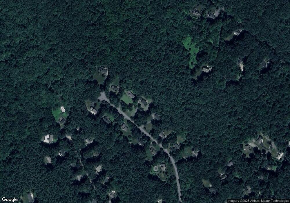
Map
- 933 Liberty Square Rd
- 171 Depot Rd
- 773 Massachusetts Ave Unit B9
- 773 Massachusetts Ave Unit C9
- 556 Middle Rd
- 41 Leonard Rd Unit 41
- 52 Bulkeley Rd
- 368 Hill Rd
- 78 Macintosh Ln
- 140 Barteau Ln
- 20 Pine Pasture Run
- 117 Summer Rd
- 104 Summer Rd
- 17 Orchard Dr
- 1125 Burroughs Rd
- 8 Whitney Ln
- 6A Wampanoag Dr
- 65 Whitney Ln
- 5 Elm St Unit 1
- 40 Bicentenial Way
- 113 Patch Hill Rd
- 85 Patch Hill Rd
- 96 Patch Hill Rd
- 127 Patch Hill Rd
- 71 Patch Hill Rd
- 80 Patch Hill Rd
- 120 Patch Hill Rd
- 62 Patch Hill Rd
- 140 Patch Hill Rd
- 145 Patch Hill Rd
- 55 Patch Hill Rd
- 93 Prescott Rd
- 79 Prescott Rd
- 105 Prescott Rd
- 37 Patch Hill Rd
- 706 Liberty Square Rd
- 65 Prescott Rd
- 111 Prescott Rd
- 49 Prescott Rd
- 80 Prescott Rd
Ask me questions while you tour the home.