97 Pleasantdale Rd Toccoa, GA 30577
Estimated Value: $81,453 - $204,000
2
Beds
1
Bath
728
Sq Ft
$190/Sq Ft
Est. Value
About This Home
This home is located at 97 Pleasantdale Rd, Toccoa, GA 30577 and is currently estimated at $138,613, approximately $190 per square foot. 97 Pleasantdale Rd is a home located in Stephens County with nearby schools including Stephens County High School.
Ownership History
Date
Name
Owned For
Owner Type
Purchase Details
Closed on
Feb 4, 2014
Sold by
Meeks Janice Sue
Bought by
Meeks Daniel Leon
Current Estimated Value
Purchase Details
Closed on
Feb 26, 2002
Bought by
<Buyer Info Not Present>
Purchase Details
Closed on
Oct 15, 1997
Sold by
Black James A and Black Don H
Bought by
Meeks Leon
Purchase Details
Closed on
Jan 27, 1987
Sold by
Black Louise K
Bought by
Black Black J and Black James A
Purchase Details
Closed on
Feb 10, 1969
Sold by
Black H Don
Bought by
Black J Dan
Purchase Details
Closed on
Jul 30, 1960
Sold by
Black James A
Bought by
Black Louise K
Purchase Details
Closed on
Jun 4, 1955
Sold by
Black Julia P
Bought by
Black J Dan
Create a Home Valuation Report for This Property
The Home Valuation Report is an in-depth analysis detailing your home's value as well as a comparison with similar homes in the area
Home Values in the Area
Average Home Value in this Area
Purchase History
| Date | Buyer | Sale Price | Title Company |
|---|---|---|---|
| Meeks Daniel Leon | -- | -- | |
| <Buyer Info Not Present> | -- | -- | |
| Meeks Leon | $33,000 | -- | |
| Black Black J | -- | -- | |
| Black J Dan | -- | -- | |
| Black Louise K | -- | -- | |
| Black J Dan | -- | -- |
Source: Public Records
Tax History Compared to Growth
Tax History
| Year | Tax Paid | Tax Assessment Tax Assessment Total Assessment is a certain percentage of the fair market value that is determined by local assessors to be the total taxable value of land and additions on the property. | Land | Improvement |
|---|---|---|---|---|
| 2024 | $529 | $17,377 | $3,911 | $13,466 |
| 2023 | $502 | $16,482 | $3,911 | $12,571 |
| 2022 | $394 | $13,250 | $3,911 | $9,339 |
| 2021 | $383 | $12,263 | $3,911 | $8,352 |
| 2020 | $386 | $12,215 | $3,911 | $8,304 |
| 2019 | $387 | $12,214 | $3,911 | $8,303 |
| 2018 | $387 | $12,214 | $3,911 | $8,303 |
| 2017 | $396 | $12,301 | $3,911 | $8,390 |
| 2016 | $390 | $12,301 | $3,910 | $8,390 |
| 2015 | $413 | $12,430 | $3,910 | $8,520 |
| 2014 | $420 | $12,431 | $3,911 | $8,520 |
| 2013 | -- | $12,430 | $3,910 | $8,520 |
Source: Public Records
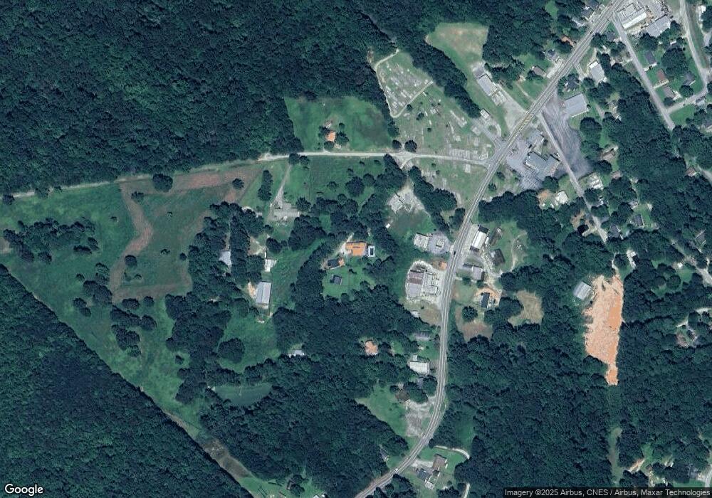
Map
Nearby Homes
- 1194 W Currahee St
- 1304 W Currahee St
- 1197 W Currahee St
- 1183 W Currahee St
- 1183 W Currahee St
- 0 Pleasantdale Rd Unit 8095933
- 0 Pleasantdale Rd
- 4122 W Currahee St
- 4120 W Currahee St
- 196 Pleasantdale Rd
- 1241 W Currahee St
- 1320 W Currahee St
- 1320 W Currahee St
- 4172 W Currahee St
- 1083 W Currahee St
- 84 Foster St
- 116 Foster St
- 1402 W Currahee St
- 1385 W Currahee St
- 1385 W Currahee St