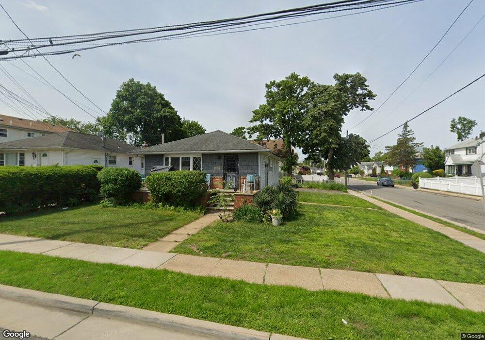
97 Remsen Ave Hempstead, NY 11550
Estimated Value: $500,630
--
Bed
1
Bath
1,050
Sq Ft
$477/Sq Ft
Est. Value
About This Home
This home is located at 97 Remsen Ave, Hempstead, NY 11550 and is currently estimated at $500,630, approximately $476 per square foot. 97 Remsen Ave is a home located in Nassau County with nearby schools including Uniondale Elementary School, The Academy Charter School, and St Joseph Elementary School.
Ownership History
Date
Name
Owned For
Owner Type
Purchase Details
Closed on
Jan 30, 2003
Sold by
Pledged Property Iii Llc
Bought by
Armina Holding Corp
Current Estimated Value
Purchase Details
Closed on
Dec 23, 2002
Sold by
Chase Manhattan Mortgage
Purchase Details
Closed on
Sep 27, 1998
Sold by
Hobbs Alonzo and Hobbs Arlene
Bought by
Eliassain Monique
Purchase Details
Closed on
Sep 25, 1998
Sold by
Eliassain Monique
Bought by
Sanchez Israel
Create a Home Valuation Report for This Property
The Home Valuation Report is an in-depth analysis detailing your home's value as well as a comparison with similar homes in the area
Home Values in the Area
Average Home Value in this Area
Purchase History
| Date | Buyer | Sale Price | Title Company |
|---|---|---|---|
| Armina Holding Corp | $155,000 | -- | |
| Lee Glenda | $260,000 | -- | |
| -- | $104,000 | -- | |
| Eliassain Monique | $125,000 | -- | |
| Sanchez Israel | $155,000 | -- |
Source: Public Records
Tax History Compared to Growth
Tax History
| Year | Tax Paid | Tax Assessment Tax Assessment Total Assessment is a certain percentage of the fair market value that is determined by local assessors to be the total taxable value of land and additions on the property. | Land | Improvement |
|---|---|---|---|---|
| 2025 | $5,795 | $273 | $116 | $157 |
| 2024 | $747 | $273 | $116 | $157 |
| 2023 | $6,033 | $273 | $116 | $157 |
| 2022 | $6,033 | $273 | $116 | $157 |
| 2021 | $9,496 | $264 | $112 | $152 |
| 2020 | $7,409 | $553 | $406 | $147 |
| 2019 | $7,826 | $553 | $406 | $147 |
| 2018 | $7,464 | $553 | $0 | $0 |
| 2017 | $5,780 | $553 | $406 | $147 |
| 2016 | $6,747 | $553 | $406 | $147 |
| 2015 | $926 | $553 | $406 | $147 |
| 2014 | $926 | $553 | $406 | $147 |
| 2013 | $857 | $553 | $406 | $147 |
Source: Public Records
Map
Nearby Homes
- 106-108 Remsen Ave
- 210 Wellington St
- 204-206 Cornell St
- 153 Meadow St
- 58 Remsen Ave
- 7 Pilot St
- 15 Pilot St
- 210 Dartmouth St
- 199 Wellesley St
- 144 Cornell St
- 140 Amherst St
- 8 College Place
- 208 Princeton St
- 186 Westbury Blvd
- 141 Garden St
- 53 James L Burrell Ave
- 143 Garden St
- 305 Warren St
- 299 Warren St
- 155 Fairview Blvd
- 91 Remsen Ave
- 280 Stewart Ave
- 87 Remsen Ave
- 287 Stewart Ave Unit 289
- 274 Stewart Ave
- 281 Stewart Ave
- 277 Stewart Ave
- 102 Remsen Ave
- 83 Remsen Ave
- 96 Remsen Ave
- 270 Stewart Ave
- 109 Remsen Ave Unit 111
- 94 Remsen Ave
- 217 Cornell St
- 217 Cornell St Unit 2
- 217 Cornell St Unit 1
- 106 Remsen Ave Unit 108
- 90 Remsen Ave
- 271 Stewart Ave
- 115 Remsen Ave