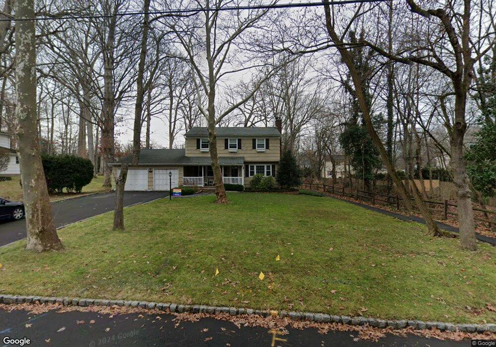
97 Robbins Ave Berkeley Heights, NJ 07922
Estimated Value: $834,360 - $978,000
Studio
--
Bath
2,112
Sq Ft
$436/Sq Ft
Est. Value
About This Home
This home is located at 97 Robbins Ave, Berkeley Heights, NJ 07922 and is currently estimated at $921,340, approximately $436 per square foot. 97 Robbins Ave is a home located in Union County with nearby schools including Columbia Middle School, Governor Livingston High School, and The Academy of Our Lady of Peace.
Ownership History
Date
Name
Owned For
Owner Type
Purchase Details
Closed on
Feb 22, 2002
Sold by
Wanda Mark
Bought by
Miller Michael and Miller Andrea
Current Estimated Value
Home Financials for this Owner
Home Financials are based on the most recent Mortgage that was taken out on this home.
Original Mortgage
$400,000
Outstanding Balance
$165,162
Interest Rate
7.04%
Estimated Equity
$756,178
Purchase Details
Closed on
Aug 10, 2000
Sold by
Deegan Brian J and Deegan Cynthia A
Bought by
Wanda Mark J and Wanda Alane S
Home Financials for this Owner
Home Financials are based on the most recent Mortgage that was taken out on this home.
Original Mortgage
$368,000
Interest Rate
7%
Purchase Details
Closed on
Aug 27, 1993
Sold by
Berres Mark C
Bought by
Deegan Bryan J and Deegan Cynthia
Home Financials for this Owner
Home Financials are based on the most recent Mortgage that was taken out on this home.
Original Mortgage
$265,000
Interest Rate
7.21%
Create a Home Valuation Report for This Property
The Home Valuation Report is an in-depth analysis detailing your home's value as well as a comparison with similar homes in the area
Home Values in the Area
Average Home Value in this Area
Purchase History
| Date | Buyer | Sale Price | Title Company |
|---|---|---|---|
| Miller Michael | $500,000 | -- | |
| Miller Michael | $500,000 | First American Title Ins Co | |
| Wanda Mark J | $460,000 | -- | |
| Deegan Bryan J | $332,000 | -- |
Source: Public Records
Mortgage History
| Date | Status | Borrower | Loan Amount |
|---|---|---|---|
| Open | Miller Michael | $400,000 | |
| Closed | Miller Michael | $400,000 | |
| Previous Owner | Wanda Mark J | $368,000 | |
| Previous Owner | Deegan Bryan J | $265,000 |
Source: Public Records
Tax History
| Year | Tax Paid | Tax Assessment Tax Assessment Total Assessment is a certain percentage of the fair market value that is determined by local assessors to be the total taxable value of land and additions on the property. | Land | Improvement |
|---|---|---|---|---|
| 2025 | $13,521 | $315,400 | $149,200 | $166,200 |
| 2024 | $13,326 | $315,400 | $149,200 | $166,200 |
| 2023 | $13,326 | $315,400 | $149,200 | $166,200 |
| 2022 | $13,244 | $315,400 | $149,200 | $166,200 |
| 2021 | $13,171 | $315,400 | $149,200 | $166,200 |
| 2020 | $13,240 | $315,400 | $149,200 | $166,200 |
| 2019 | $13,174 | $315,400 | $149,200 | $166,200 |
| 2018 | $12,900 | $315,400 | $149,200 | $166,200 |
| 2017 | $12,742 | $315,400 | $149,200 | $166,200 |
| 2016 | $12,518 | $315,400 | $149,200 | $166,200 |
| 2015 | $12,449 | $315,400 | $149,200 | $166,200 |
| 2014 | $12,124 | $315,400 | $149,200 | $166,200 |
Source: Public Records
Map
Nearby Homes
- 19 Honeyman Place
- 181 Maple Ave
- 57 Daria Ln
- 19 Guenevere Way Ondo
- 126 Snyder Ave
- 46 Snyder Ave
- 6
- 41 Brambling Rd
- 755 River Rd
- 31 Angela Way Unit 731
- 235 Plainfield Ave
- 19 Slope Dr
- 49 Pine Grove Rd
- 317 Plainfield Ave
- 18 Tree Top Ln
- 33 Yarmouth Dr
- 38 Meyersville Rd
- 46 Coolidge Dr
- 36 Terrace Rd
- 25 Murray Hill Square
- 105 Robbins Ave
- 89 Robbins Ave
- 110 Lawrence Dr
- 102 Lawrence Dr
- 118 Lawrence Dr
- 113 Robbins Ave
- 106 Robbins Ave
- 98 Robbins Ave
- 81 Robbins Ave
- 90 Lawrence Dr
- 88 Robbins Ave
- 118 Robbins Ave
- 124 Lawrence Dr
- 125 Robbins Ave
- 80 Lawrence Dr
- 73 Robbins Ave
- 113 Lawrence Dr
- 78 Robbins Ave
- 137 Robbins Ave
- 103 Lawrence Dr
Your Personal Tour Guide
Ask me questions while you tour the home.