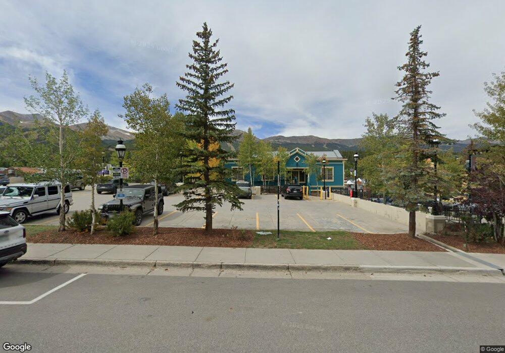
97 S Ridge St Breckenridge, CO 80424
Estimated Value: $4,160,000 - $4,701,000
4
Beds
4
Baths
4,779
Sq Ft
$912/Sq Ft
Est. Value
About This Home
This home is located at 97 S Ridge St, Breckenridge, CO 80424 and is currently estimated at $4,356,950, approximately $911 per square foot. 97 S Ridge St is a home located in Summit County with nearby schools including Breckenridge Elementary School, Summit Middle School, and Summit High School.
Ownership History
Date
Name
Owned For
Owner Type
Purchase Details
Closed on
Jan 29, 2018
Sold by
Todd M Pahl Living Trust
Bought by
I Speco Llc
Current Estimated Value
Purchase Details
Closed on
Jul 14, 2015
Sold by
Pahl Todd M and Pahl Julie L
Bought by
Todd M Pahl Living Trust
Purchase Details
Closed on
Apr 10, 2015
Sold by
Gebhart Alan J
Bought by
Pahl Todd M and Pahl Julie L
Home Financials for this Owner
Home Financials are based on the most recent Mortgage that was taken out on this home.
Original Mortgage
$1,443,750
Interest Rate
3.88%
Mortgage Type
New Conventional
Create a Home Valuation Report for This Property
The Home Valuation Report is an in-depth analysis detailing your home's value as well as a comparison with similar homes in the area
Home Values in the Area
Average Home Value in this Area
Purchase History
| Date | Buyer | Sale Price | Title Company |
|---|---|---|---|
| I Speco Llc | $2,295,000 | Stewart Title | |
| Todd M Pahl Living Trust | -- | None Available | |
| Pahl Todd M | $1,925,000 | Title Co Of The Rockies Inc |
Source: Public Records
Mortgage History
| Date | Status | Borrower | Loan Amount |
|---|---|---|---|
| Previous Owner | Pahl Todd M | $1,443,750 |
Source: Public Records
Tax History Compared to Growth
Tax History
| Year | Tax Paid | Tax Assessment Tax Assessment Total Assessment is a certain percentage of the fair market value that is determined by local assessors to be the total taxable value of land and additions on the property. | Land | Improvement |
|---|---|---|---|---|
| 2024 | $11,889 | $245,368 | -- | -- |
| 2023 | $11,889 | $241,682 | $0 | $0 |
| 2022 | $7,435 | $141,460 | $0 | $0 |
| 2021 | $7,573 | $145,531 | $0 | $0 |
| 2020 | $8,511 | $162,219 | $0 | $0 |
| 2019 | $8,390 | $162,219 | $0 | $0 |
| 2018 | $7,711 | $144,438 | $0 | $0 |
| 2017 | $7,052 | $144,438 | $0 | $0 |
| 2016 | $6,625 | $133,625 | $0 | $0 |
| 2015 | $6,413 | $133,625 | $0 | $0 |
| 2014 | $6,789 | $139,601 | $0 | $0 |
| 2013 | -- | $139,601 | $0 | $0 |
Source: Public Records
Map
Nearby Homes
- 67 Mary's Ridge Ln
- 120 Atlantic Lode Unit 3
- 120 Atlantic Lode Unit 1
- 14 Dunkin Dr
- 0072 Atlantic Lode
- 0072 Atlantic Lode Unit 5
- 1120 Baldy Rd
- 56 View Ln Unit 7F
- 2520 Boreas Pass Rd
- 53 View Ln Unit A week 40
- 57 Fuller Placer Rd Unit 1B
- 112 Illinois Gulch Rd Unit 6
- 0190 Berlin Placer Rd
- 150 Fuller Placer Rd
- 526 Fuller Placer Rd
- 115 Sallie Barber Rd
- 73 Illinois Gulch Rd Unit 8
- 306 Illinois Gulch Rd Unit 113
- 304 Illinois Gulch Rd Unit 204
- 160 N Fuller Placer Rd
- 97 Mary's Ridge Ln
- 67 Marys Ridge Ln Unit D
- 67 Marys Ridge Ln Unit C
- 67 Marys Ridge Ln
- 57 Atlantic Lode Rd Unit 57
- 26 Dunkin Dr
- 1018 Atlantic Lode Rd Unit 1018
- 10 Hideaway 140 Atlantic Lode Unit 10
- 140 Atlantic Lode Rd Unit 140
- 140 Atlantic Lode Rd Unit 9
- 140 Atlantic Lode Rd Unit 10
- 37 Marys Ridge Ln
- 130 Atlantic Lode Rd
- 130 Atlantic Lode Rd Unit 6
- 130 Atlantic Lode Rd Unit 7
- 130 Atlantic Lode Rd
- 120 Atlantic Lode Unit 2
- 18 Dunkin Dr
- 1016 Atlantic Lode
- 1014 Atlantic Lode Unit 1014