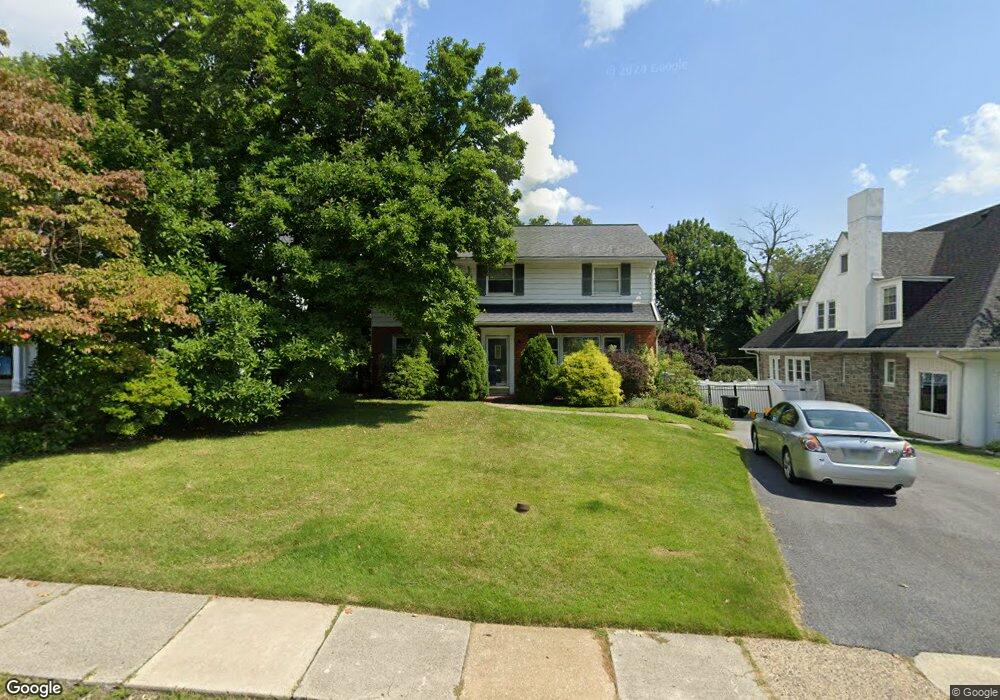
97 S Rolling Rd Springfield, PA 19064
Estimated Value: $566,075 - $621,000
4
Beds
3
Baths
1,836
Sq Ft
$318/Sq Ft
Est. Value
About This Home
This home is located at 97 S Rolling Rd, Springfield, PA 19064 and is currently estimated at $584,019, approximately $318 per square foot. 97 S Rolling Rd is a home located in Delaware County with nearby schools including Springfield High School, St Francis Of Assisi School, and Holy Cross School.
Ownership History
Date
Name
Owned For
Owner Type
Purchase Details
Closed on
Jan 15, 1999
Sold by
Harrington James A and Harrington Diane M
Bought by
Thomson David A and Thomson Virginia May
Current Estimated Value
Home Financials for this Owner
Home Financials are based on the most recent Mortgage that was taken out on this home.
Original Mortgage
$167,000
Interest Rate
6.33%
Mortgage Type
Balloon
Create a Home Valuation Report for This Property
The Home Valuation Report is an in-depth analysis detailing your home's value as well as a comparison with similar homes in the area
Home Values in the Area
Average Home Value in this Area
Purchase History
| Date | Buyer | Sale Price | Title Company |
|---|---|---|---|
| Thomson David A | $185,500 | T A Title Insurance Company |
Source: Public Records
Mortgage History
| Date | Status | Borrower | Loan Amount |
|---|---|---|---|
| Closed | Thomson David A | $167,000 |
Source: Public Records
Tax History Compared to Growth
Tax History
| Year | Tax Paid | Tax Assessment Tax Assessment Total Assessment is a certain percentage of the fair market value that is determined by local assessors to be the total taxable value of land and additions on the property. | Land | Improvement |
|---|---|---|---|---|
| 2025 | $9,460 | $336,560 | $121,390 | $215,170 |
| 2024 | $9,460 | $336,560 | $121,390 | $215,170 |
| 2023 | $9,109 | $336,560 | $121,390 | $215,170 |
| 2022 | $8,912 | $336,560 | $121,390 | $215,170 |
| 2021 | $13,801 | $336,560 | $121,390 | $215,170 |
| 2020 | $7,804 | $172,230 | $55,660 | $116,570 |
| 2019 | $7,621 | $172,230 | $55,660 | $116,570 |
| 2018 | $7,512 | $172,230 | $0 | $0 |
| 2017 | $7,338 | $172,230 | $0 | $0 |
| 2016 | $945 | $172,230 | $0 | $0 |
| 2015 | $964 | $172,230 | $0 | $0 |
| 2014 | $964 | $172,230 | $0 | $0 |
Source: Public Records
Map
Nearby Homes
- 89 Saxer Ave
- 214 Lynbrooke Rd
- 225 Lynbrooke Rd
- 230 Ridgewood Rd
- 30 Wayne Ave
- 224 Ballymore Rd
- 201 S Highland Rd
- 247 Orchard Rd
- 306 E Springfield Rd
- 232 S Highland Rd
- 165 Summit Rd
- 251 Powell Rd
- 342 E Springfield Rd
- 140 N Rolling Rd
- 240 Beechwood Rd
- 142 Rambling Way
- 158 Hillview Dr
- 326 Powell Rd
- 332 Franklin Ave
- 324 Valley View Rd
- 101 S Rolling Rd
- 93 S Rolling Rd
- 85 S Rolling Rd
- 105 S Rolling Rd
- 102 S Rolling Rd
- 96 S Rolling Rd
- 56 S Brookside Rd
- 147 Orchard Rd
- 81 S Rolling Rd
- 110 S Rolling Rd
- 90 S Rolling Rd
- 106 S Rolling Rd
- 52 S Brookside Rd
- 77 S Rolling Rd
- 115 S Rolling Rd
- 82 S Rolling Rd
- 79 S Hillcrest Rd
- 73 S Hillcrest Rd
- 120 S Rolling Rd
- 73 S Rolling Rd