97 Sand Plain Rd Unit D Charlestown, RI 02813
Estimated Value: $467,000 - $670,000
2
Beds
1
Bath
864
Sq Ft
$629/Sq Ft
Est. Value
About This Home
This home is located at 97 Sand Plain Rd Unit D, Charlestown, RI 02813 and is currently estimated at $543,060, approximately $628 per square foot. 97 Sand Plain Rd Unit D is a home located in Washington County with nearby schools including Chariho Regional Middle School and Chariho High School.
Ownership History
Date
Name
Owned For
Owner Type
Purchase Details
Closed on
May 20, 2020
Sold by
Gallup Barry and Gallup Sandra
Bought by
Deconte Danielle
Current Estimated Value
Home Financials for this Owner
Home Financials are based on the most recent Mortgage that was taken out on this home.
Original Mortgage
$187,576
Outstanding Balance
$165,489
Interest Rate
3.3%
Mortgage Type
FHA
Estimated Equity
$377,571
Purchase Details
Closed on
Jan 13, 2012
Sold by
Panos Emanuel and Panos Tina
Bought by
Gallup Barry and Gallup Sandra
Home Financials for this Owner
Home Financials are based on the most recent Mortgage that was taken out on this home.
Original Mortgage
$142,500
Interest Rate
4%
Mortgage Type
New Conventional
Create a Home Valuation Report for This Property
The Home Valuation Report is an in-depth analysis detailing your home's value as well as a comparison with similar homes in the area
Home Values in the Area
Average Home Value in this Area
Purchase History
| Date | Buyer | Sale Price | Title Company |
|---|---|---|---|
| Deconte Danielle | $225,000 | None Available | |
| Deconte Danielle | $225,000 | None Available | |
| Gallup Barry | $190,000 | -- | |
| Gallup Barry | $190,000 | -- |
Source: Public Records
Mortgage History
| Date | Status | Borrower | Loan Amount |
|---|---|---|---|
| Open | Deconte Danielle | $187,576 | |
| Closed | Deconte Danielle | $187,576 | |
| Previous Owner | Gallup Barry | $142,500 | |
| Previous Owner | Gallup Barry | $184,500 |
Source: Public Records
Tax History Compared to Growth
Tax History
| Year | Tax Paid | Tax Assessment Tax Assessment Total Assessment is a certain percentage of the fair market value that is determined by local assessors to be the total taxable value of land and additions on the property. | Land | Improvement |
|---|---|---|---|---|
| 2025 | $2,854 | $481,300 | $157,100 | $324,200 |
| 2024 | $2,782 | $481,300 | $157,100 | $324,200 |
| 2023 | $2,763 | $481,300 | $157,100 | $324,200 |
| 2022 | $2,470 | $302,300 | $99,300 | $203,000 |
| 2021 | $2,511 | $307,000 | $99,300 | $207,700 |
| 2020 | $2,527 | $307,000 | $99,300 | $207,700 |
| 2019 | $2,446 | $265,000 | $99,300 | $165,700 |
| 2018 | $2,555 | $265,000 | $99,300 | $165,700 |
| 2017 | $2,541 | $265,000 | $99,300 | $165,700 |
| 2016 | $2,178 | $213,300 | $91,100 | $122,200 |
| 2015 | $2,156 | $213,300 | $91,100 | $122,200 |
| 2014 | $2,112 | $213,300 | $91,100 | $122,200 |
Source: Public Records
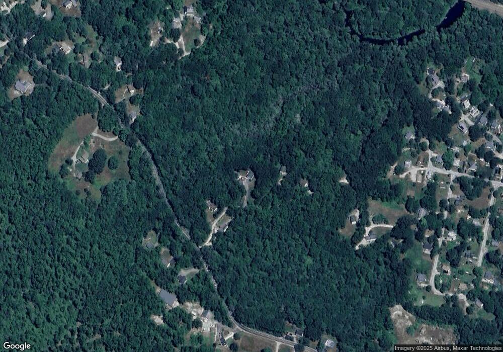
Map
Nearby Homes
- 96 Sand Plain Rd
- 4207 S County Trail
- 0 Carolina Back Rd
- 0 S County Trail
- 139 Scapa Flow Rd
- 106 Lauri Dr
- 0 Pasquisett Trail
- 157 Biscuit City Rd
- 124 Biscuit City Rd
- 260 Richmond Townhouse Rd
- 27 Foxtrot Dr
- 40 Toadstool Knolls
- 26 Old Richmond Townhouse Rd
- 286 Old Coach Rd
- 154 Black Pond Rd
- 4720 S County Trail
- 10 Narrow Ln
- 197 Old Coach Rd
- 130 Moraine Ct
- 131 Little Pond Rd
- 97 Sand Plain Rd
- 97 Sand Plain Rd Unit F
- 97 Sand Plain Rd Unit A
- 97 Sand Plain Rd Unit B
- 97 Sand Plain Rd Unit C
- 97B Sand Plain Rd
- 97C Sand Plain Rd
- 97D Sand Plain Rd
- 104A Sand Plain Rd
- 104B Sand Plain Rd
- 97F Sand Plain Rd
- 129 Sand Plain Rd
- 130 Sand Plain Rd
- 74 Sand Plain Rd
- 137 Sand Plain Rd
- 67 Sand Plain Rd
- 66 Columbia Heights Oval
- 143 Sand Plain Rd
- 62 Sand Plain Rd
- 57 Sand Plain Rd