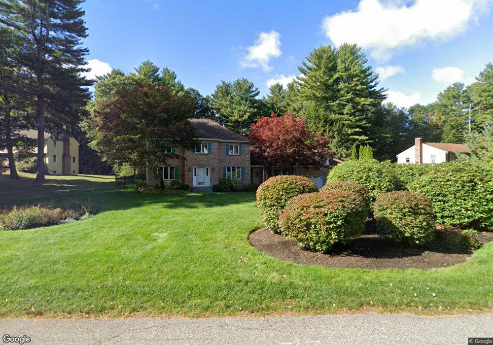
97 Sawmill Rd North Andover, MA 01845
Estimated Value: $989,000 - $1,159,000
4
Beds
4
Baths
3,026
Sq Ft
$360/Sq Ft
Est. Value
About This Home
This home is located at 97 Sawmill Rd, North Andover, MA 01845 and is currently estimated at $1,088,981, approximately $359 per square foot. 97 Sawmill Rd is a home located in Essex County with nearby schools including Kittredge Elementary School, North Andover Middle School, and North Andover High School.
Ownership History
Date
Name
Owned For
Owner Type
Purchase Details
Closed on
Dec 22, 2022
Sold by
Honan Mary E and Lombardi Matthew J
Bought by
Mary E Honan Ret
Current Estimated Value
Purchase Details
Closed on
Sep 15, 2009
Sold by
Matthew J Lombardi Ret
Bought by
Honan Mary E and Lombardi Matthew J
Home Financials for this Owner
Home Financials are based on the most recent Mortgage that was taken out on this home.
Original Mortgage
$370,000
Interest Rate
5.36%
Mortgage Type
Purchase Money Mortgage
Purchase Details
Closed on
Jul 19, 2000
Sold by
Fredette Robert C and Fredette Annette J
Bought by
Revt Matt Lombardi and Lombardi Matthew J
Create a Home Valuation Report for This Property
The Home Valuation Report is an in-depth analysis detailing your home's value as well as a comparison with similar homes in the area
Home Values in the Area
Average Home Value in this Area
Purchase History
| Date | Buyer | Sale Price | Title Company |
|---|---|---|---|
| Mary E Honan Ret | -- | None Available | |
| Mary E Honan Ret | -- | None Available | |
| Honan Mary E | -- | -- | |
| Revt Matt Lombardi | $515,000 | -- |
Source: Public Records
Mortgage History
| Date | Status | Borrower | Loan Amount |
|---|---|---|---|
| Previous Owner | Honan Mary E | $370,000 | |
| Previous Owner | Revt Matt Lombardi | $455,000 | |
| Previous Owner | Revt Matt Lombardi | $450,000 |
Source: Public Records
Tax History Compared to Growth
Tax History
| Year | Tax Paid | Tax Assessment Tax Assessment Total Assessment is a certain percentage of the fair market value that is determined by local assessors to be the total taxable value of land and additions on the property. | Land | Improvement |
|---|---|---|---|---|
| 2025 | $11,145 | $989,800 | $414,300 | $575,500 |
| 2024 | $10,626 | $958,200 | $392,500 | $565,700 |
| 2023 | $10,164 | $830,400 | $331,500 | $498,900 |
| 2022 | $9,720 | $718,400 | $287,900 | $430,500 |
| 2021 | $9,372 | $661,400 | $261,800 | $399,600 |
| 2020 | $8,997 | $654,800 | $255,200 | $399,600 |
| 2019 | $8,781 | $654,800 | $255,200 | $399,600 |
| 2018 | $9,514 | $654,800 | $255,200 | $399,600 |
| 2017 | $9,672 | $677,300 | $224,600 | $452,700 |
| 2016 | $9,166 | $642,300 | $226,800 | $415,500 |
| 2015 | $9,054 | $629,200 | $213,400 | $415,800 |
Source: Public Records
Map
Nearby Homes
- 590 Foster St
- 121 Cortland Dr
- 141 Cortland Dr Unit 141
- 141 Cortland Dr
- 114 Stonecleave Rd
- Lot 10 Stonecleave Rd
- 427b Ipswich Rd
- 53 Lawrence Rd
- 55 Sheffield Rd
- Lot 2 (31) Lawrence Rd
- 39 Sheffield Rd
- 65 Saile Way
- 10 High Ridge Rd
- 43 Belvedere Rd
- 50 Stonecleave Rd
- 534 Ipswich Rd
- 2 Lawrence Rd
- 12 Hope Ln Unit 14
- 24 Appleton Ln
- 45 Thistle Rd
- 81 Sawmill Rd
- 81 Sawmill Rd
- 109 Sawmill Rd
- 100 Sawmill Rd
- 112 Sawmill Rd
- 125 Sawmill Rd
- 88 Sawmill Rd
- 50 Hay Meadow Rd
- 88 Hay Meadow Rd
- 72 Sawmill Rd
- 49 Andersen Dr
- 66 Hay Meadow Rd
- 124 Sawmill Rd
- 136 Sawmill Rd
- 15 Sawmill Rd
- 99 Hay Meadow Rd
- 137 Hay Meadow Rd
- 50 Sawmill Rd
- 39 Hay Meadow Rd
- 120 Hay Meadow Rd