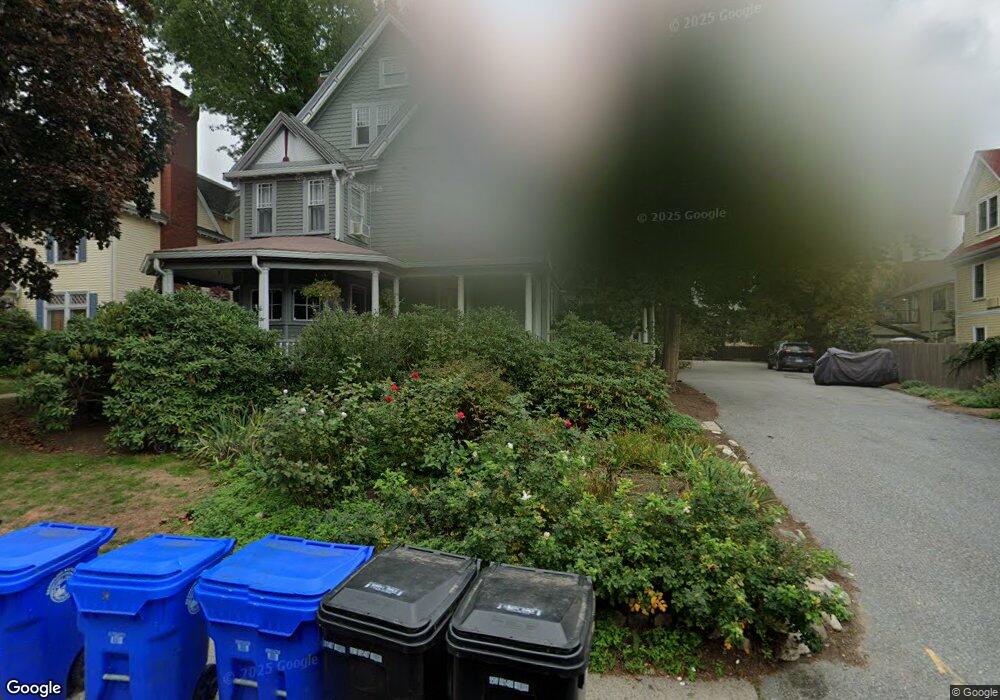
97 Sewall Ave Unit 6 Brookline, MA 02446
Coolidge Corner NeighborhoodEstimated Value: $1,501,000 - $1,684,000
3
Beds
3
Baths
1,600
Sq Ft
$1,009/Sq Ft
Est. Value
About This Home
This home is located at 97 Sewall Ave Unit 6, Brookline, MA 02446 and is currently estimated at $1,614,814, approximately $1,009 per square foot. 97 Sewall Ave Unit 6 is a home located in Norfolk County with nearby schools including Amos A. Lawrence School, Brookline High School, and St. Mary of the Assumption Elementary School.
Ownership History
Date
Name
Owned For
Owner Type
Purchase Details
Closed on
Sep 16, 1998
Sold by
Gilman Pamela S
Bought by
Borns-Weil Alexandra
Current Estimated Value
Create a Home Valuation Report for This Property
The Home Valuation Report is an in-depth analysis detailing your home's value as well as a comparison with similar homes in the area
Home Values in the Area
Average Home Value in this Area
Purchase History
| Date | Buyer | Sale Price | Title Company |
|---|---|---|---|
| Borns-Weil Alexandra | $534,000 | -- |
Source: Public Records
Mortgage History
| Date | Status | Borrower | Loan Amount |
|---|---|---|---|
| Previous Owner | Borns-Weil Alexandra | $274,000 | |
| Previous Owner | Borns-Weil Alexandra | $274,000 |
Source: Public Records
Tax History
| Year | Tax Paid | Tax Assessment Tax Assessment Total Assessment is a certain percentage of the fair market value that is determined by local assessors to be the total taxable value of land and additions on the property. | Land | Improvement |
|---|---|---|---|---|
| 2025 | $15,419 | $1,562,200 | $0 | $1,562,200 |
| 2024 | $14,964 | $1,531,600 | $0 | $1,531,600 |
| 2023 | $13,981 | $1,402,300 | $0 | $1,402,300 |
| 2022 | $13,874 | $1,361,500 | $0 | $1,361,500 |
| 2021 | $13,210 | $1,348,000 | $0 | $1,348,000 |
| 2020 | $12,613 | $1,334,700 | $0 | $1,334,700 |
| 2019 | $11,911 | $1,271,200 | $0 | $1,271,200 |
| 2018 | $11,073 | $1,170,500 | $0 | $1,170,500 |
| 2017 | $10,707 | $1,083,700 | $0 | $1,083,700 |
| 2016 | $10,266 | $985,200 | $0 | $985,200 |
| 2015 | $9,566 | $895,700 | $0 | $895,700 |
| 2014 | $9,148 | $803,200 | $0 | $803,200 |
Source: Public Records
Map
Nearby Homes
- 1243 Beacon St Unit 5A
- 100 Sewall Ave Unit 5
- 50 Longwood Ave Unit 518
- 50 Longwood Ave Unit 611
- 60 Longwood Ave Unit 802
- 60 Longwood Ave Unit 307
- 14 James St Unit 3
- 131 Sewall Ave Unit 61
- 45 Longwood Ave Unit 712
- 45 Longwood Ave Unit 812
- 16 Parkman St Unit 1
- 221 Saint Paul St
- 79 Pleasant St Unit 4
- 63-65 Green St Unit 1
- 63-65 Green St Unit PH-3
- 26 John St Unit 3
- 81 Francis St Unit 2
- 21 Green St Unit 3
- 65 Francis St Unit A
- 14 Green St Unit PHA
- 97 Sewall Ave Unit 5
- 97 Sewall Ave Unit 4
- 97 Sewall Ave Unit 3
- 97 Sewall Ave Unit 2
- 97 Sewall Ave Unit 1
- 97 Sewall Ave
- 97 Sewall Ave Unit 2, 97
- 103 Sewall Ave Unit 1
- 103 Sewall Ave Unit 7
- 103 Sewall Ave Unit 6
- 103 Sewall Ave Unit 5
- 103 Sewall Ave Unit 4
- 103 Sewall Ave Unit 3
- 103 Sewall Ave Unit 2
- 103 Sewall Ave
- 103 Sewall Ave Unit 6,103
- 143 Saint Paul St
- 98 Sewall Ave Unit A
- 98 Sewall Ave Unit 6
- 98 Sewall Ave Unit 5
Your Personal Tour Guide
Ask me questions while you tour the home.