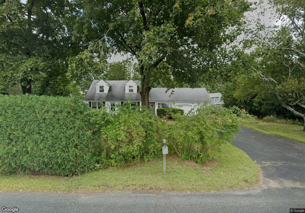
97 Shattuck Rd Hadley, MA 01035
Estimated Value: $530,062 - $783,000
About This Home
This home is located at 97 Shattuck Rd, Hadley, MA 01035 and is currently estimated at $609,766, approximately $313 per square foot. 97 Shattuck Rd is a home located in Hampshire County with nearby schools including Hadley Elementary School and Hopkins Academy.
Ownership History
We collect this data history from publicly available records. To have your information removed, we recommend requesting removal directly through your county’s website.
Purchase Details
Purchase Details
Purchase Details
Purchase Details
Home Values in the Area
Average Home Value in this Area
Purchase History
We collect this data history from publicly available records. To have your information removed, we recommend requesting removal directly through your county’s website.
| Date | Buyer | Sale Price | Title Company |
|---|---|---|---|
| -- | None Available | ||
| -- | None Available | ||
| -- | None Available | ||
| -- | None Available | ||
| -- | None Available | ||
| -- | None Available | ||
| -- | None Available | ||
| -- | None Available | ||
| -- | None Available | ||
| -- | None Available | ||
| $212,500 | -- | ||
| $212,500 | -- |
Mortgage History
We collect this data history from publicly available records. To have your information removed, we recommend requesting removal directly through your county’s website.
| Date | Status | Borrower | Loan Amount |
|---|---|---|---|
| Previous Owner | $100,000 | ||
| Previous Owner | $100,000 |
Tax History
We collect this data history from publicly available records. To have your information removed, we recommend requesting removal directly through your county’s website.
| Year | Tax Paid | Tax Assessment Tax Assessment Total Assessment is a certain percentage of the fair market value that is determined by local assessors to be the total taxable value of land and additions on the property. | Land | Improvement |
|---|---|---|---|---|
| 2025 | $4,558 | $391,900 | $125,700 | $266,200 |
| 2024 | $4,320 | $379,300 | $125,700 | $253,600 |
| 2023 | $4,377 | $379,300 | $125,700 | $253,600 |
| 2022 | $4,050 | $332,500 | $125,700 | $206,800 |
| 2021 | $3,834 | $319,500 | $125,700 | $193,800 |
| 2020 | $3,776 | $295,500 | $125,700 | $169,800 |
| 2019 | $3,504 | $283,500 | $125,700 | $157,800 |
| 2018 | $3,428 | $283,500 | $125,700 | $157,800 |
| 2017 | $3,282 | $283,700 | $125,700 | $158,000 |
| 2016 | $3,163 | $283,700 | $125,700 | $158,000 |
| 2015 | $3,081 | $283,700 | $125,700 | $158,000 |
| 2014 | $3,019 | $283,700 | $125,700 | $158,000 |
Map
- 4 Ladyslipper Ln
- 12 Crystal Ln
- 274 Sunderland Rd
- 37 Harris St
- 101 Stockbridge St
- 102 Farview Way
- 208 Rolling Ridge Rd
- 277 River Dr
- 208 Pine St Unit 53
- 87 Harlow Dr
- 43 Long Plain Rd
- 49 Harlow Dr
- 691 E Pleasant St
- 16 Old Long Plain Rd
- 185 Cherry Ln
- 71 Morgan Cir
- 390 State St
- 20 Bridge St
- 136 Main St
- 45 Henry St
- Parcel 1 Huntington Rd
- LOT1 Meadow St
- LOT 13 Birch Meadow Estates
- LOT 1 Huntington Rd
- #1 Meadow St
- 95 Shattuck Rd
- 1 Kennedy Dr
- 92 Shattuck Rd
- 4 Kennedy Dr
- 3 Kennedy Dr
- 87 Shattuck Rd
- 6 Kennedy Dr
- 8 Kennedy Dr
- 1 Morning Star Dr
- 3 Morning Star Dr
- 7 Kennedy Dr
- 5 Frost Ln
- 2 Frost Ln
- 10 Kennedy Dr
- 5 Morning Star Dr
Ask me questions while you tour the home.