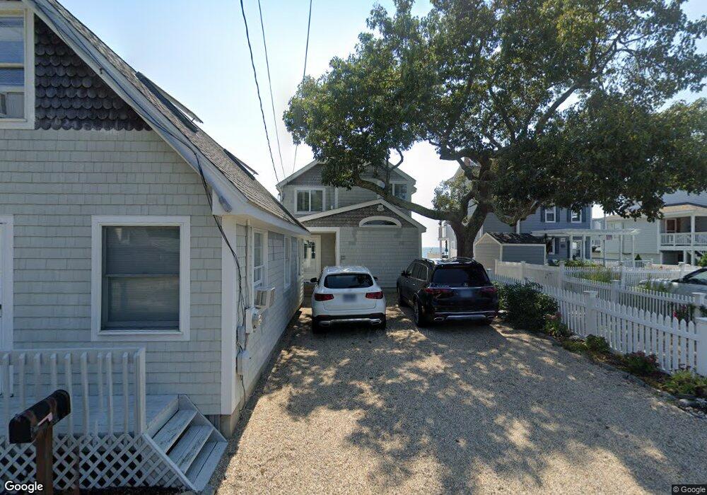
97 Shore Rd Clinton, CT 06413
Estimated Value: $1,488,000 - $1,840,000
3
Beds
2
Baths
--
Sq Ft
6,534
Sq Ft Lot
About This Home
This home is located at 97 Shore Rd, Clinton, CT 06413 and is currently estimated at $1,607,550. 97 Shore Rd is a home located in Middlesex County with nearby schools including Lewin G. Joel Jr. School, The Morgan School, and Oxford Academy.
Ownership History
Date
Name
Owned For
Owner Type
Purchase Details
Closed on
Oct 9, 2018
Sold by
Gibson Jonathan F and Nggibson Chaiw E
Bought by
Gibson Jonathan F and Nggibson Chaiw E
Current Estimated Value
Purchase Details
Closed on
Sep 8, 2016
Sold by
A Gary Chace Ret
Bought by
Nggibson Chiaw E and Gibson Jonathan F
Purchase Details
Closed on
Feb 19, 1999
Sold by
Pinto Anthony J and Pinto Carol A
Bought by
Chace A Gary and Chace Janet M
Create a Home Valuation Report for This Property
The Home Valuation Report is an in-depth analysis detailing your home's value as well as a comparison with similar homes in the area
Home Values in the Area
Average Home Value in this Area
Purchase History
| Date | Buyer | Sale Price | Title Company |
|---|---|---|---|
| Gibson Jonathan F | -- | -- | |
| Gibson Jonathan F | -- | -- | |
| Nggibson Chiaw E | $818,000 | -- | |
| Nggibson Chiaw E | $818,000 | -- | |
| Chace A Gary | $347,000 | -- | |
| Chace A Gary A | $347,000 | -- |
Source: Public Records
Mortgage History
| Date | Status | Borrower | Loan Amount |
|---|---|---|---|
| Previous Owner | Chace A Gary A | $359,650 |
Source: Public Records
Tax History Compared to Growth
Tax History
| Year | Tax Paid | Tax Assessment Tax Assessment Total Assessment is a certain percentage of the fair market value that is determined by local assessors to be the total taxable value of land and additions on the property. | Land | Improvement |
|---|---|---|---|---|
| 2025 | $19,287 | $619,352 | $404,252 | $215,100 |
| 2024 | $18,742 | $619,352 | $404,252 | $215,100 |
| 2023 | $18,475 | $619,352 | $404,252 | $215,100 |
| 2022 | $18,475 | $619,352 | $404,252 | $215,100 |
| 2021 | $18,271 | $612,500 | $404,300 | $208,200 |
| 2020 | $19,141 | $612,500 | $404,300 | $208,200 |
| 2019 | $19,141 | $612,500 | $404,300 | $208,200 |
| 2018 | $18,706 | $612,500 | $404,300 | $208,200 |
| 2017 | $18,320 | $612,500 | $404,300 | $208,200 |
| 2016 | $16,623 | $612,500 | $404,300 | $208,200 |
| 2015 | $17,690 | $660,800 | $456,100 | $204,700 |
| 2014 | $17,359 | $660,800 | $456,100 | $204,700 |
Source: Public Records
Map
Nearby Homes
- 144 Shore Rd
- 153 Shore Rd Unit 2
- 18 Tidewater Ln Unit 18
- 280 E Main St Unit E6
- 280 E Main St Unit A2
- 176 Shore Rd
- 0 Causeway
- 6 Kingfisher Ln
- 1 Osprey Commons S
- 6 Osprey Commons
- 7 Osprey Commons S
- 0 E Main St
- 30 Sols Point Rd
- 192 E Main St
- 50 & 61 Grove Way
- 59 Founders Village
- 18 Hammock Rd
- 21 West Walk
- 20 Hammock Rd
- 31 Founders Village