Estimated Value: $270,000 - $388,000
3
Beds
2
Baths
1,590
Sq Ft
$201/Sq Ft
Est. Value
About This Home
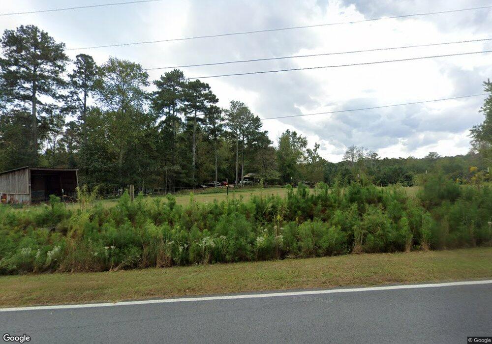
This home is located at 97 Smith Rd, Waco, GA 30182 and is currently estimated at $318,981, approximately $200 per square foot. 97 Smith Rd is a home located in Carroll County with nearby schools including Mt. Zion Elementary School, Mt. Zion Middle School, and Mt. Zion High School.
Ownership History
Date
Name
Owned For
Owner Type
Purchase Details
Closed on
Jun 17, 2005
Sold by
Mayfield Terry
Bought by
Mayfield Portia B
Current Estimated Value
Purchase Details
Closed on
Oct 3, 1997
Sold by
Lbss Co
Bought by
Mayfield Terry and Mayfield Portia
Purchase Details
Closed on
Aug 5, 1997
Sold by
Executive Consult
Bought by
Lbss Co
Purchase Details
Closed on
Aug 15, 1993
Sold by
Tidwell Earnest
Bought by
Lbss Company
Purchase Details
Closed on
Apr 30, 1993
Sold by
Lbss Company
Bought by
Tidwell Earnest
Purchase Details
Closed on
Mar 19, 1993
Bought by
Lbss Company
Create a Home Valuation Report for This Property
The Home Valuation Report is an in-depth analysis detailing your home's value as well as a comparison with similar homes in the area
Home Values in the Area
Average Home Value in this Area
Purchase History
| Date | Buyer | Sale Price | Title Company |
|---|---|---|---|
| Mayfield Portia B | -- | -- | |
| Mayfield Terry | $11,700 | -- | |
| Lbss Co | $11,800 | -- | |
| Lbss Company | -- | -- | |
| Tidwell Earnest | $15,000 | -- | |
| Lbss Company | $12,000 | -- |
Source: Public Records
Tax History
| Year | Tax Paid | Tax Assessment Tax Assessment Total Assessment is a certain percentage of the fair market value that is determined by local assessors to be the total taxable value of land and additions on the property. | Land | Improvement |
|---|---|---|---|---|
| 2025 | $201 | $108,484 | $29,905 | $78,579 |
| 2024 | $1,927 | $108,484 | $29,905 | $78,579 |
| 2023 | $1,927 | $95,360 | $23,924 | $71,436 |
| 2022 | $1,484 | $73,237 | $15,950 | $57,287 |
| 2021 | $1,317 | $61,905 | $12,857 | $49,048 |
| 2020 | $1,195 | $55,078 | $11,688 | $43,390 |
| 2019 | $1,126 | $50,824 | $11,688 | $39,136 |
| 2018 | $988 | $42,418 | $7,884 | $34,534 |
| 2017 | $991 | $42,418 | $7,884 | $34,534 |
| 2016 | $991 | $42,418 | $7,884 | $34,534 |
| 2015 | $996 | $39,623 | $7,304 | $32,319 |
| 2014 | $1,001 | $39,623 | $7,304 | $32,319 |
Source: Public Records
Map
Nearby Homes
- 760 Carlton Johnson Rd
- 760 Carlton Johnson Rd
- 967 Old Highway 100
- 263 Buncombe Waco Rd
- 1090 Kansas Jake Rd
- 6058 Mount Zion Rd
- 2908 N Highway 100
- 0 N Highway 100 Unit TRACT 2 10571032
- 0 N Highway 100 Unit TRACT 3 10571036
- 0 N Highway 100 Unit TRACT 4 10571038
- 786 Moon Rd
- 0 Kansas Jake Rd Unit 26132658
- 0 Kansas Jake Rd Unit 10676294
- 0 Kansas Jake Rd Unit 10686699
- 0 Kansas Jake Rd Unit 26114165
- 0 Kansas Jake Rd Unit 26114173
- 0 Kansas Jake Rd Unit 26114180
- Melear Rd
- 63 Gold Creek Dr
- 610 Old Pleasant Hill Rd
- 111 Smith Rd
- 75 Smith Rd
- 4261 N Highway 100
- 4205 N Highway 100
- 926 Jake Buncombe Rd
- 925 Jake Buncombe Rd
- 4161 N Highway 100
- 248 Smith Rd
- 137 Shiloh Church Spur
- 445 Barge Tallapoosa Rd
- 258 Smith Rd
- 57 Barge Tallapoosa Rd
- 139 Shiloh Church Spur
- 62 Barge Tallapoosa Rd
- 375 Barge Tallapoosa Rd
- 121 Georgia Highway 100
- 480 Barge Tallapoosa Rd
- 131 Georgia Highway 100
- 21 Shiloh Church Spur
- 548 Barge Tallapoosa Rd
Your Personal Tour Guide
Ask me questions while you tour the home.