97 Tanbark Cir Brookings, OR 97415
Estimated Value: $1,473,187
2
Beds
4
Baths
3,020
Sq Ft
$488/Sq Ft
Est. Value
About This Home
This home is located at 97 Tanbark Cir, Brookings, OR 97415 and is currently estimated at $1,473,187, approximately $487 per square foot. 97 Tanbark Cir is a home located in Curry County.
Ownership History
Date
Name
Owned For
Owner Type
Purchase Details
Closed on
Jul 26, 2016
Sold by
Strobel Lauren Elizabeth
Bought by
Doing Sheldon P and Dehart Steven R
Current Estimated Value
Home Financials for this Owner
Home Financials are based on the most recent Mortgage that was taken out on this home.
Original Mortgage
$628,600
Outstanding Balance
$501,550
Interest Rate
3.48%
Mortgage Type
New Conventional
Estimated Equity
$971,637
Purchase Details
Closed on
Oct 14, 2014
Sold by
Vahey Magdalena
Bought by
Strobel Lauren Elizabeth
Purchase Details
Closed on
Oct 26, 2012
Sold by
Vahey Samuel B
Bought by
Vahey Samuel B and The Samuel B Vahey Trust
Create a Home Valuation Report for This Property
The Home Valuation Report is an in-depth analysis detailing your home's value as well as a comparison with similar homes in the area
Home Values in the Area
Average Home Value in this Area
Purchase History
| Date | Buyer | Sale Price | Title Company |
|---|---|---|---|
| Doing Sheldon P | $898,000 | Curry County Title | |
| Strobel Lauren Elizabeth | -- | Curry County Title | |
| Vahey Samuel B | -- | None Available |
Source: Public Records
Mortgage History
| Date | Status | Borrower | Loan Amount |
|---|---|---|---|
| Open | Doing Sheldon P | $628,600 |
Source: Public Records
Tax History Compared to Growth
Tax History
| Year | Tax Paid | Tax Assessment Tax Assessment Total Assessment is a certain percentage of the fair market value that is determined by local assessors to be the total taxable value of land and additions on the property. | Land | Improvement |
|---|---|---|---|---|
| 2024 | $10,718 | $1,133,860 | -- | -- |
| 2023 | $10,406 | $1,100,840 | $0 | $0 |
| 2022 | $10,103 | $1,068,780 | $0 | $0 |
| 2021 | $9,809 | $1,037,660 | $0 | $0 |
| 2020 | $10,124 | $1,007,440 | $0 | $0 |
| 2019 | $9,297 | $978,100 | $0 | $0 |
| 2018 | $9,696 | $949,620 | $0 | $0 |
| 2017 | $9,337 | $920,600 | $0 | $0 |
| 2016 | $9,111 | $921,970 | $0 | $0 |
| 2015 | $8,615 | $895,120 | $0 | $0 |
| 2014 | $8,615 | $843,740 | $0 | $0 |
Source: Public Records
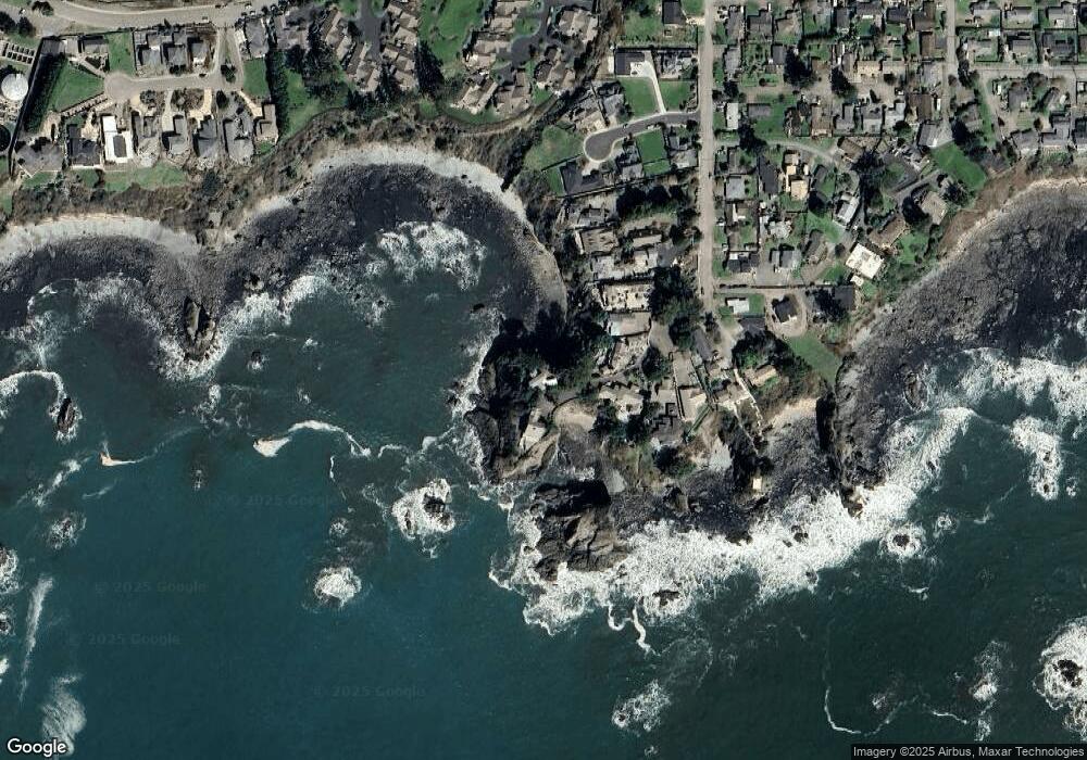
Map
Nearby Homes
- 19 Otter Terrace
- 7205 Edge Cliff Dr
- 106 Schooner Bay Dr
- 210 Schooner Bay Dr
- 204 Schooner Bay Dr
- 438 Buena Vista Loop
- 838 Chetco Point Terrace
- 842 Chetco Point Terrace
- 301 Oxford St
- 388 Tanbark Rd
- 204 Alder St
- 543 Spruce St
- 311 Maple St
- 425 Railroad St
- 108 Sea Cliff Terrace
- 104 Sea Cliff Terrace
- 322 Del Norte Ln
- 726 Pacific Ave
- 616 Pacific Ave
- 397 Mill Beach Rd
- 96 Tanbark Cir
- 103 Tanbark Cir
- 94 Tanbark Cir
- 105 Tanbark Cir
- 92 Tanbark Cir
- 92 Tanbark Cir
- 109 Tanbark Rd
- 90 Tanbark Cr
- 90 Tanbark Cir
- 113 Tanbark Rd
- 99 Tanbark Rd
- 117 Tanbark Rd
- 7210 Edge Cliff Dr
- 97 Tanbark Rd
- 97 Tanbark Cr
- 104 Tanbark Rd
- 98 Tanbark Rd
- 106 Tanbark Rd
- 7208 Edge Cliff Dr
- 14 Tanbark Rd