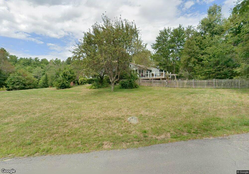
97 W Shore Dr Ashburnham, MA 01430
Estimated Value: $392,082 - $540,000
4
Beds
2
Baths
1,200
Sq Ft
$389/Sq Ft
Est. Value
About This Home
This home is located at 97 W Shore Dr, Ashburnham, MA 01430 and is currently estimated at $466,271, approximately $388 per square foot. 97 W Shore Dr is a home located in Worcester County with nearby schools including Oakmont Regional High School.
Ownership History
Date
Name
Owned For
Owner Type
Purchase Details
Closed on
Aug 20, 1998
Sold by
Klein Melissa M and Burnell Melissa M
Bought by
Buchholz Gary and Buchholz Susan
Current Estimated Value
Home Financials for this Owner
Home Financials are based on the most recent Mortgage that was taken out on this home.
Original Mortgage
$133,000
Outstanding Balance
$27,602
Interest Rate
6.86%
Mortgage Type
Purchase Money Mortgage
Estimated Equity
$438,669
Create a Home Valuation Report for This Property
The Home Valuation Report is an in-depth analysis detailing your home's value as well as a comparison with similar homes in the area
Home Values in the Area
Average Home Value in this Area
Purchase History
| Date | Buyer | Sale Price | Title Company |
|---|---|---|---|
| Buchholz Gary | $145,000 | -- | |
| Buchholz Gary | $145,000 | -- |
Source: Public Records
Mortgage History
| Date | Status | Borrower | Loan Amount |
|---|---|---|---|
| Open | Buchholz Gary | $133,000 | |
| Closed | Buchholz Gary | $133,000 |
Source: Public Records
Tax History
| Year | Tax Paid | Tax Assessment Tax Assessment Total Assessment is a certain percentage of the fair market value that is determined by local assessors to be the total taxable value of land and additions on the property. | Land | Improvement |
|---|---|---|---|---|
| 2025 | $4,809 | $323,400 | $38,200 | $285,200 |
| 2024 | $5,045 | $320,300 | $38,200 | $282,100 |
| 2023 | $4,723 | $285,400 | $38,200 | $247,200 |
| 2022 | $4,588 | $243,000 | $37,100 | $205,900 |
| 2021 | $4,244 | $206,500 | $37,100 | $169,400 |
| 2020 | $4,080 | $203,000 | $33,600 | $169,400 |
| 2019 | $27 | $190,800 | $33,600 | $157,200 |
| 2018 | $4,212 | $180,000 | $32,000 | $148,000 |
| 2017 | $3,806 | $165,700 | $36,000 | $129,700 |
| 2016 | $3,722 | $163,600 | $35,400 | $128,200 |
Source: Public Records
Map
Nearby Homes
- 119 W Shore Dr
- 98 Goldmine Rd
- 199 Tuckerman Rd
- 0 Winding Cove Rd Unit 73431444
- 8 Laurel Dr
- 226 Lakeview Dr
- 207 Sherbert Rd
- 150-152 Mill Cir
- 35 Hillside Dr
- 16 2nd St
- 6 Wyman Rd
- 16 Maple Place
- 11 Colonial Ln
- 0 Monomonac Rd W
- 495 Winchendon Rd
- 358 Winchendon Rd
- 1 Roberts Way
- 19 Monomonac Terrace
- 78 Colburn Ln
- 750 Teel Rd
- Lot 672 Iriquois Dr
- 95 W Shore Dr
- 104 W Shore Dr
- 102 W Shore Dr
- 106 W Shore Dr
- 96 W Shore Dr
- 110 W Shore Dr
- 112 W Shore Dr
- 7 Iriquois Dr
- 113 W Shore Dr
- 114 W Shore Dr
- 10 Iriquois Dr
- 116 W Shore Dr
- 115 W Shore Dr
- 87 W Shore Dr
- 117 W Shore Dr
- 620 Seneca Dr
- 13 Iriquois Dr
- 12 Iriquois Dr
- 12 Iriquois Dr Unit 1