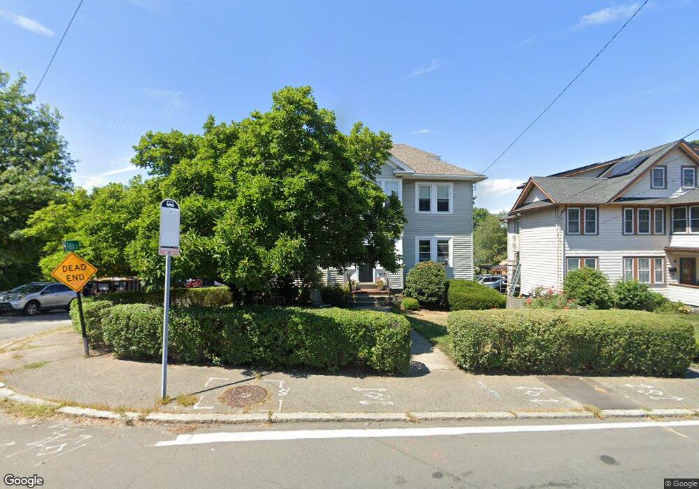
97 West St Quincy, MA 02169
South Quincy NeighborhoodEstimated Value: $858,000 - $1,082,000
6
Beds
2
Baths
2,264
Sq Ft
$419/Sq Ft
Est. Value
About This Home
This home is located at 97 West St, Quincy, MA 02169 and is currently estimated at $949,633, approximately $419 per square foot. 97 West St is a home located in Norfolk County with nearby schools including South West Middle School, Lincoln-Hancock Community School, and Quincy High School.
Ownership History
Date
Name
Owned For
Owner Type
Purchase Details
Closed on
Oct 30, 2018
Sold by
Regan Martha E
Bought by
Martha E Regan Irt
Current Estimated Value
Home Financials for this Owner
Home Financials are based on the most recent Mortgage that was taken out on this home.
Original Mortgage
$100,000
Outstanding Balance
$87,214
Interest Rate
4.6%
Mortgage Type
Credit Line Revolving
Estimated Equity
$862,419
Purchase Details
Closed on
Jun 29, 1999
Sold by
Peppino Michael C and Peppino Alyssa
Bought by
Regan Martha E
Home Financials for this Owner
Home Financials are based on the most recent Mortgage that was taken out on this home.
Original Mortgage
$75,000
Interest Rate
7.09%
Mortgage Type
Purchase Money Mortgage
Purchase Details
Closed on
Aug 21, 1996
Sold by
Neil Rt
Bought by
Peppino Michael C
Home Financials for this Owner
Home Financials are based on the most recent Mortgage that was taken out on this home.
Original Mortgage
$174,950
Interest Rate
8.4%
Mortgage Type
Purchase Money Mortgage
Purchase Details
Closed on
Dec 17, 1987
Sold by
Volpe Louis F
Bought by
Mcneil Richard C
Home Financials for this Owner
Home Financials are based on the most recent Mortgage that was taken out on this home.
Original Mortgage
$154,800
Interest Rate
10.78%
Mortgage Type
Purchase Money Mortgage
Create a Home Valuation Report for This Property
The Home Valuation Report is an in-depth analysis detailing your home's value as well as a comparison with similar homes in the area
Home Values in the Area
Average Home Value in this Area
Purchase History
| Date | Buyer | Sale Price | Title Company |
|---|---|---|---|
| Martha E Regan Irt | -- | -- | |
| Regan Martha E | $260,000 | -- | |
| Peppino Michael C | $163,700 | -- | |
| Mcneil Richard C | $193,500 | -- |
Source: Public Records
Mortgage History
| Date | Status | Borrower | Loan Amount |
|---|---|---|---|
| Open | Martha E Regan Irt | $100,000 | |
| Previous Owner | Mcneil Richard C | $75,000 | |
| Previous Owner | Mcneil Richard C | $178,937 | |
| Previous Owner | Mcneil Richard C | $174,950 | |
| Previous Owner | Mcneil Richard C | $154,800 |
Source: Public Records
Tax History Compared to Growth
Tax History
| Year | Tax Paid | Tax Assessment Tax Assessment Total Assessment is a certain percentage of the fair market value that is determined by local assessors to be the total taxable value of land and additions on the property. | Land | Improvement |
|---|---|---|---|---|
| 2025 | $10,046 | $871,300 | $280,100 | $591,200 |
| 2024 | $9,468 | $840,100 | $266,800 | $573,300 |
| 2023 | $8,880 | $797,800 | $242,500 | $555,300 |
| 2022 | $8,730 | $728,700 | $202,100 | $526,600 |
| 2021 | $8,891 | $732,400 | $202,100 | $530,300 |
| 2020 | $8,762 | $704,900 | $202,100 | $502,800 |
| 2019 | $8,347 | $665,100 | $190,700 | $474,400 |
| 2018 | $7,779 | $583,100 | $176,600 | $406,500 |
| 2017 | $7,833 | $552,800 | $168,200 | $384,600 |
| 2016 | $6,848 | $476,900 | $146,200 | $330,700 |
| 2015 | $6,712 | $459,700 | $146,200 | $313,500 |
| 2014 | $5,828 | $392,200 | $146,200 | $246,000 |
Source: Public Records
Map
Nearby Homes
- 42 West St
- 510 Willard St
- 211 West St Unit 12B
- 211 Copeland St
- 57 Buckley St
- 46-48 Buckley St
- 52 Bunker Hill Ln
- 14 Arthur Ave
- 12 Arthur Ave
- 21 Arthur St
- 46 Suomi Rd
- 46 Suomi Rd Unit 46
- 63 Adele Rd
- 91 Garfield St
- 64 Garfield St Unit B
- 1 Cityview Ln Unit 506
- 1 Cityview Ln Unit 210
- 1 Cityview Ln Unit 709
- 1 Cityview Ln Unit 204
- 21 Totman St Unit 202