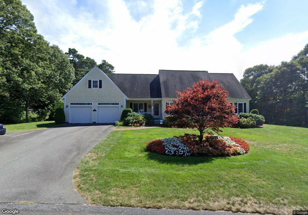
97 Wianno Rd Yarmouth Port, MA 02675
Yarmouth Port NeighborhoodEstimated Value: $738,000 - $925,000
3
Beds
3
Baths
2,400
Sq Ft
$353/Sq Ft
Est. Value
About This Home
This home is located at 97 Wianno Rd, Yarmouth Port, MA 02675 and is currently estimated at $846,968, approximately $352 per square foot. 97 Wianno Rd is a home located in Barnstable County with nearby schools including Dennis-Yarmouth Regional High School.
Create a Home Valuation Report for This Property
The Home Valuation Report is an in-depth analysis detailing your home's value as well as a comparison with similar homes in the area
Home Values in the Area
Average Home Value in this Area
Tax History Compared to Growth
Tax History
| Year | Tax Paid | Tax Assessment Tax Assessment Total Assessment is a certain percentage of the fair market value that is determined by local assessors to be the total taxable value of land and additions on the property. | Land | Improvement |
|---|---|---|---|---|
| 2025 | $6,678 | $943,200 | $183,500 | $759,700 |
| 2024 | $6,211 | $841,600 | $159,600 | $682,000 |
| 2023 | $6,187 | $762,900 | $144,900 | $618,000 |
| 2022 | $5,562 | $605,900 | $138,300 | $467,600 |
| 2021 | $5,419 | $566,800 | $138,300 | $428,500 |
| 2020 | $5,239 | $523,900 | $146,500 | $377,400 |
| 2019 | $4,835 | $478,700 | $146,500 | $332,200 |
| 2018 | $4,675 | $454,300 | $122,100 | $332,200 |
| 2017 | $4,552 | $454,300 | $122,100 | $332,200 |
| 2016 | $4,436 | $444,500 | $112,300 | $332,200 |
| 2015 | $4,230 | $421,300 | $107,400 | $313,900 |
Source: Public Records
Map
Nearby Homes
- 800 Route 6a
- 800 Route 6a
- 20 Trophy Ln
- 14 Many Oaks Cir
- 6 Nimble Hill Dr
- 21 Boxwood Cir
- 4208 Heatherwood
- 64 Kates Path
- 17 Kates Path Unit A
- 28 Oak Glen
- 228 Kates Path
- 25 Oak Glen
- 25 Oak Glen Village Unit 25
- 13 Covey Dr
- 8 Rowley Ln
- 15 Follins Pond Rd
- 158 Kates Path
- 2 Pine Grove
- 19 John Halls Cartpath Village Unit E
- 19 John Hall Cartway Unit E