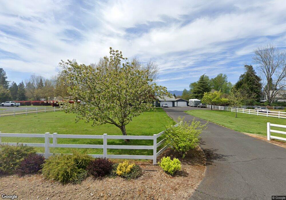
970 Breezy Ln Grants Pass, OR 97527
Estimated Value: $763,011 - $767,000
5
Beds
3
Baths
2,926
Sq Ft
$261/Sq Ft
Est. Value
About This Home
This home is located at 970 Breezy Ln, Grants Pass, OR 97527 and is currently estimated at $765,006, approximately $261 per square foot. 970 Breezy Ln is a home located in Josephine County with nearby schools including Redwood Elementary School, South Middle School, and Grants Pass High School.
Ownership History
Date
Name
Owned For
Owner Type
Purchase Details
Closed on
Feb 8, 2006
Sold by
Brown Steven D
Bought by
Adams John R and Adams Tracie L
Current Estimated Value
Home Financials for this Owner
Home Financials are based on the most recent Mortgage that was taken out on this home.
Original Mortgage
$400,000
Outstanding Balance
$223,364
Interest Rate
6.16%
Mortgage Type
Fannie Mae Freddie Mac
Estimated Equity
$541,642
Create a Home Valuation Report for This Property
The Home Valuation Report is an in-depth analysis detailing your home's value as well as a comparison with similar homes in the area
Purchase History
| Date | Buyer | Sale Price | Title Company |
|---|---|---|---|
| Adams John R | $510,000 | Ticor Title |
Source: Public Records
Mortgage History
| Date | Status | Borrower | Loan Amount |
|---|---|---|---|
| Open | Adams John R | $400,000 |
Source: Public Records
Tax History
| Year | Tax Paid | Tax Assessment Tax Assessment Total Assessment is a certain percentage of the fair market value that is determined by local assessors to be the total taxable value of land and additions on the property. | Land | Improvement |
|---|---|---|---|---|
| 2025 | $3,560 | $446,920 | -- | -- |
| 2024 | $3,560 | $433,910 | -- | -- |
| 2023 | $2,951 | $421,280 | $0 | $0 |
| 2022 | $2,976 | $409,010 | -- | -- |
| 2021 | $2,791 | $397,100 | $0 | $0 |
| 2020 | $2,649 | $385,540 | $0 | $0 |
| 2019 | $2,572 | $374,320 | $0 | $0 |
| 2018 | $2,573 | $363,420 | $0 | $0 |
| 2017 | $2,551 | $352,840 | $0 | $0 |
| 2016 | $2,158 | $342,570 | $0 | $0 |
Source: Public Records
Map
Nearby Homes
- 4945 Lower River Rd
- 1290 Ojai Ave
- 5076 Leonard Rd Unit 27
- 442 Ashwood Dr
- 445 Ashwood Dr
- 318 Sandlewood Dr
- 210 Sycamore Dr
- 306 Sandlewood Dr
- 1627 Southgate Way
- 208 Chestnut Ln
- 0 Redwood Hwy Unit 220200455
- 0 Redwood Hwy Unit 677188456
- 224 SW Deer Meadow Ln
- 955 SW Buckmaster Dr
- 190 SW Rock Gulch Rd
- 180 SW Rock Gulch Rd
- 3340 Redwood Hwy
- 195 SW Rock Gulch Rd
- 4441 Upper River Rd
- 6181 Lower River Rd
- 982 Breezy Ln
- 954 Breezy Ln
- 990 Breezy Ln
- 4440 Leonard Rd
- 979 Breezy Ln
- 4430 Leonard Rd
- 973 Breezy Ln
- 942 Breezy Ln
- 957 Breezy Ln
- 885 Breezy Ln
- 4399 Leonard Rd
- 4492 Leonard Rd
- 4449 Leonard Rd
- 4425 Leonard Rd
- 4481 Leonard Rd
- 4313 Leonard Rd
- 871 Breezy Ln
- 4300 Leonard Rd
- 4361 Leonard Rd
- 4522 Leonard Rd
Your Personal Tour Guide
Ask me questions while you tour the home.