970 Duncan Ln Iron Station, NC 28080
Estimated Value: $412,000 - $974,908
4
Beds
3
Baths
2,453
Sq Ft
$278/Sq Ft
Est. Value
About This Home
This home is located at 970 Duncan Ln, Iron Station, NC 28080 and is currently estimated at $681,477, approximately $277 per square foot. 970 Duncan Ln is a home located in Lincoln County with nearby schools including Iron Station Elementary School, East Lincoln Middle School, and East Lincoln High School.
Ownership History
Date
Name
Owned For
Owner Type
Purchase Details
Closed on
Jul 12, 2011
Sold by
Wood Andrew J
Bought by
Philemon Lisa Wood
Current Estimated Value
Purchase Details
Closed on
Dec 28, 2009
Sold by
First Federal Savings Bank Of Lincolnton and Philemon Michael Wayne
Bought by
Philemon Michael Wayne and Philemon Lisa Wood
Create a Home Valuation Report for This Property
The Home Valuation Report is an in-depth analysis detailing your home's value as well as a comparison with similar homes in the area
Home Values in the Area
Average Home Value in this Area
Purchase History
| Date | Buyer | Sale Price | Title Company |
|---|---|---|---|
| Philemon Lisa Wood | -- | None Available | |
| Philemon Michael Wayne | $22,500 | None Available |
Source: Public Records
Tax History Compared to Growth
Tax History
| Year | Tax Paid | Tax Assessment Tax Assessment Total Assessment is a certain percentage of the fair market value that is determined by local assessors to be the total taxable value of land and additions on the property. | Land | Improvement |
|---|---|---|---|---|
| 2025 | $3,442 | $751,876 | $266,046 | $485,830 |
| 2024 | $3,379 | $751,876 | $266,046 | $485,830 |
| 2023 | $3,363 | $751,876 | $266,046 | $485,830 |
| 2022 | $2,643 | $484,075 | $184,897 | $299,178 |
| 2021 | $2,643 | $484,075 | $184,897 | $299,178 |
| 2020 | $2,415 | $484,075 | $184,897 | $299,178 |
| 2019 | $2,338 | $484,075 | $184,897 | $299,178 |
| 2018 | $2,044 | $437,255 | $197,045 | $240,210 |
| 2017 | $1,943 | $437,255 | $197,045 | $240,210 |
| 2016 | $1,943 | $437,255 | $197,045 | $240,210 |
| 2015 | $1,991 | $437,255 | $197,045 | $240,210 |
| 2014 | $2,002 | $441,504 | $199,454 | $242,050 |
Source: Public Records
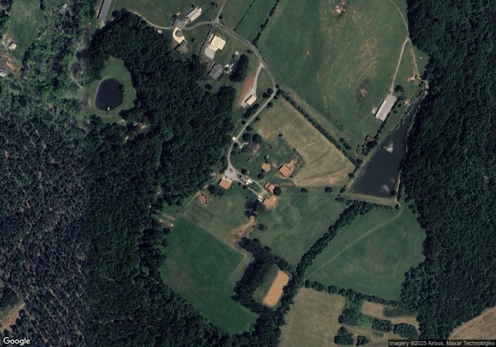
Map
Nearby Homes
- 1011 Lester Trail
- 341 Camp Creek Rd
- 5045 Amity Ln Unit 12
- 1076 Furnace Rd
- Lot 6 Walnut Ridge Rd Unit 6
- 000 N Carolina 73
- 132 Huncoat Hollow Ln
- 812 Trinity Ln
- 00 Timber Rd
- 375 Timber Rd
- 1894 N Carolina 73
- 1404 Old Mill Rd
- 429 Link Dr
- 0000 Chase Dr Unit 3
- 4465 Brancer Ln
- 2170 Otis Dellinger Rd
- 1448 Weatherwood Dr
- 1711 Furnace Road Extension
- 25 Planters Row Rd
- 22 Planters Row Rd
- 004 Vesuvius Furnace Rd Unit 4
- 002 Vesuvius Furnace Rd Unit 2
- 007 Vesuvius Furnace Rd Unit 7
- 967 Duncan Ln
- 969 Duncan Ln
- 971 Duncan Ln
- 1014 Camp Creek Rd
- 0 Bridle Ct Unit 5 3610826
- 001 Vesuvius Furnace Rd Unit 1
- 756 Camp Creek Rd
- 715 Camp Creek Rd
- 789 Camp Creek Rd
- 346 Rudisill Ln
- 003 Vesuvius Furnace Rd Unit 3
- 005 Vesuvius Furnace Rd Unit 5
- 924 Camp Creek Rd
- 916 Camp Creek Rd
- 354 Camp Creek Rd
- 734 Camp Creek Rd
- 302 Mossy Rock Trail