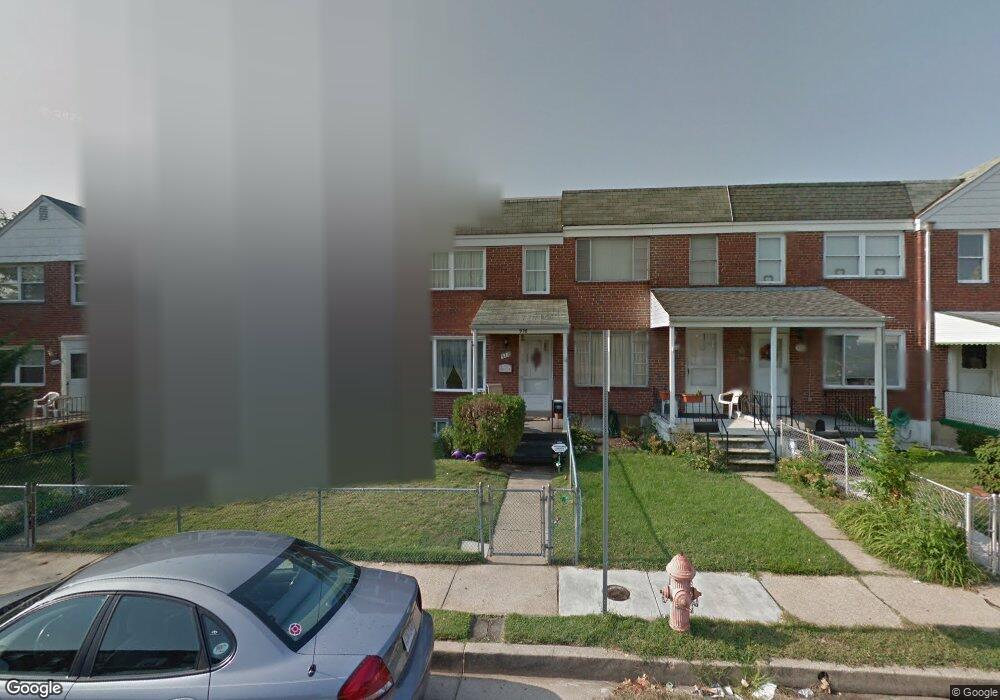
970 Elton Ave Baltimore, MD 21224
Estimated Value: $144,705 - $196,000
Studio
1
Bath
1,024
Sq Ft
$158/Sq Ft
Est. Value
About This Home
This home is located at 970 Elton Ave, Baltimore, MD 21224 and is currently estimated at $161,676, approximately $157 per square foot. 970 Elton Ave is a home located in Baltimore County with nearby schools including Berkshire Elementary School, Holabird Middle School, and Patapsco High & Center for Arts.
Ownership History
Date
Name
Owned For
Owner Type
Purchase Details
Closed on
Mar 21, 2023
Sold by
Desoto Sharon A
Bought by
Desoto Sharon A and Desoto David
Current Estimated Value
Home Financials for this Owner
Home Financials are based on the most recent Mortgage that was taken out on this home.
Original Mortgage
$101,750
Outstanding Balance
$98,719
Interest Rate
6.42%
Mortgage Type
FHA
Estimated Equity
$62,957
Purchase Details
Closed on
Aug 6, 2018
Sold by
Amig Angela M and Estate Of Nicholas Joseph Lill
Bought by
Desoto Sharon A
Home Financials for this Owner
Home Financials are based on the most recent Mortgage that was taken out on this home.
Original Mortgage
$20,000
Interest Rate
4.5%
Mortgage Type
Purchase Money Mortgage
Purchase Details
Closed on
Oct 28, 1960
Sold by
Bedford Holding Co
Bought by
Lilli Nicholas J
Create a Home Valuation Report for This Property
The Home Valuation Report is an in-depth analysis detailing your home's value as well as a comparison with similar homes in the area
Home Values in the Area
Average Home Value in this Area
Purchase History
| Date | Buyer | Sale Price | Title Company |
|---|---|---|---|
| Desoto Sharon A | -- | Freestate Title Services | |
| Desoto Sharon A | -- | Freestate Title Services | |
| Desoto Sharon A | $40,000 | None Available | |
| Lilli Nicholas J | $10,000 | -- |
Source: Public Records
Mortgage History
| Date | Status | Borrower | Loan Amount |
|---|---|---|---|
| Open | Desoto Sharon A | $101,750 | |
| Closed | Desoto Sharon A | $101,750 | |
| Previous Owner | Desoto Sharon A | $20,000 |
Source: Public Records
Tax History
| Year | Tax Paid | Tax Assessment Tax Assessment Total Assessment is a certain percentage of the fair market value that is determined by local assessors to be the total taxable value of land and additions on the property. | Land | Improvement |
|---|---|---|---|---|
| 2025 | $2,136 | $131,267 | -- | -- |
| 2024 | $2,136 | $120,533 | -- | -- |
| 2023 | $973 | $109,800 | $30,000 | $79,800 |
| 2022 | $1,795 | $108,367 | $0 | $0 |
| 2021 | $1,876 | $106,933 | $0 | $0 |
| 2020 | $2,093 | $105,500 | $30,000 | $75,500 |
| 2019 | $1,233 | $101,767 | $0 | $0 |
| 2018 | $1,957 | $98,033 | $0 | $0 |
| 2017 | $1,767 | $94,300 | $0 | $0 |
| 2016 | $1,560 | $90,367 | $0 | $0 |
| 2015 | $1,560 | $86,433 | $0 | $0 |
| 2014 | $1,560 | $82,500 | $0 | $0 |
Source: Public Records
Map
Nearby Homes
- 900 N Point Rd
- 7428 Poplar Ave
- 7506 Belmont Ave
- 7416 Poplar Ave
- 7412 Poplar Ave
- 7406 Poplar Ave
- 7627 Carson Ave
- 7404 Poplar Ave
- 7412 Belmont Ave
- 7552 Rabon Ave
- 1213 Willow Rd
- 7503 Cypress Ave
- 1205 N Point Rd
- 1237 Willow Rd
- 619 N Point Rd
- 7503 Riddle Ave
- 874 Mildred Ave
- 8031 Bank St
- 8049 Lansdale Rd
- 8013 Gough St
Your Personal Tour Guide
Ask me questions while you tour the home.