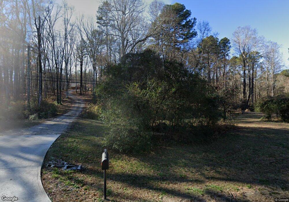
970 Highway 211 NW Winder, GA 30680
Estimated Value: $433,000 - $865,130
--
Bed
1
Bath
2,771
Sq Ft
$211/Sq Ft
Est. Value
About This Home
This home is located at 970 Highway 211 NW, Winder, GA 30680 and is currently estimated at $583,377, approximately $210 per square foot. 970 Highway 211 NW is a home with nearby schools including Bramlett Elementary School, Russell Middle School, and Winder-Barrow High School.
Ownership History
Date
Name
Owned For
Owner Type
Purchase Details
Closed on
Jul 27, 2018
Sold by
Armstrong
Bought by
Everett Shirley Renee and Everett Spencer L
Current Estimated Value
Home Financials for this Owner
Home Financials are based on the most recent Mortgage that was taken out on this home.
Original Mortgage
$108,000
Outstanding Balance
$80,204
Interest Rate
4.5%
Mortgage Type
New Conventional
Estimated Equity
$503,173
Purchase Details
Closed on
Jun 15, 1990
Sold by
Lisle Dareyl W and Lisle Jennifer M
Bought by
Armstrong Brenda N
Create a Home Valuation Report for This Property
The Home Valuation Report is an in-depth analysis detailing your home's value as well as a comparison with similar homes in the area
Home Values in the Area
Average Home Value in this Area
Purchase History
| Date | Buyer | Sale Price | Title Company |
|---|---|---|---|
| Everett Shirley Renee | $135,000 | -- | |
| Armstrong Brenda N | -- | -- | |
| Armstrong Brenda Aka Brenda Nell | -- | -- |
Source: Public Records
Mortgage History
| Date | Status | Borrower | Loan Amount |
|---|---|---|---|
| Open | Everett Shirley Renee | $108,000 |
Source: Public Records
Tax History Compared to Growth
Tax History
| Year | Tax Paid | Tax Assessment Tax Assessment Total Assessment is a certain percentage of the fair market value that is determined by local assessors to be the total taxable value of land and additions on the property. | Land | Improvement |
|---|---|---|---|---|
| 2024 | $6,750 | $280,058 | $99,295 | $180,763 |
| 2023 | $6,302 | $280,058 | $99,295 | $180,763 |
| 2022 | $6,146 | $221,166 | $99,295 | $121,871 |
| 2021 | $5,729 | $191,201 | $79,436 | $111,765 |
| 2020 | $4,698 | $156,139 | $54,480 | $101,659 |
| 2019 | $1,658 | $54,528 | $54,528 | $0 |
| 2018 | $1,649 | $54,528 | $54,528 | $0 |
| 2017 | $1,588 | $54,528 | $54,528 | $0 |
| 2016 | $1,644 | $54,528 | $54,528 | $0 |
| 2015 | $1,652 | $54,528 | $54,528 | $0 |
| 2014 | $778 | $24,810 | $24,810 | $0 |
| 2013 | -- | $24,810 | $24,810 | $0 |
Source: Public Records
Map
Nearby Homes
- 629 Dee Kennedy Rd
- 262 Blake Ln
- 681 County Line Auburn Rd
- 99 Mcmillian Ct
- 1202 Treemont Trace
- 760 Highway 211 NW
- 809 Custom Ln
- 787 Murphy Rd
- 1224 Treemont Trace
- The Hickory A Plan at Cedar Farms
- The Rabun C Plan at Cedar Farms
- The Glenwood A Plan at Cedar Farms
- The Hickory B Plan at Cedar Farms
- The Russell B Plan at Cedar Farms
- The Danbury A Plan at Cedar Farms
- The Harrison G Plan at Cedar Farms
- The Russell A Plan at Cedar Farms
- The Willow B Plan at Cedar Farms
- The Sinclair C Plan at Cedar Farms
- 1020 Easy St
- 964 Georgia 211
- 992 Highway 211 NW
- 976 Georgia Highway 211
- 950 Highway 211 NW
- 976 Highway 211 NW
- 978 Highway 211 NW
- 1000 Highway 211 NW
- 967 Highway 211 NW
- 967 Georgia Highway 211
- 928 Georgia Highway 211
- 931 Highway 211 NW
- 928 Highway 211 NW
- 923 Highway 211 NW
- 873 Will Maynard Rd
- 1026 Highway 211 NW
- 914 Highway 211 NW
- 996 Highway 211 NW
- 996 Highway 211 NW Unit 996
- 870 Will Maynard Rd
- 1040 Highway 211 NW
