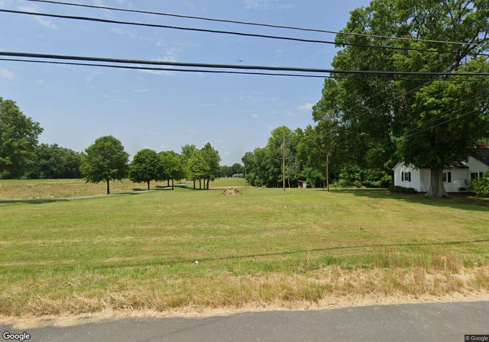
970 Horneytown Rd High Point, NC 27265
Estimated Value: $286,000 - $622,000
3
Beds
2
Baths
5,754
Sq Ft
$86/Sq Ft
Est. Value
About This Home
This home is located at 970 Horneytown Rd, High Point, NC 27265 and is currently estimated at $492,369, approximately $85 per square foot. 970 Horneytown Rd is a home located in Davidson County with nearby schools including Wallburg Elementary School, Ledford Middle School, and Ledford High School.
Ownership History
Date
Name
Owned For
Owner Type
Purchase Details
Closed on
Mar 17, 2023
Sold by
Koonts Alan G and Koonts Laura P
Bought by
Koonts Alan G and Koonts Laura P
Current Estimated Value
Purchase Details
Closed on
Jan 30, 2017
Sold by
Koonts Alan G and Koonts Laura P
Bought by
Koonts Alan G and Koonts Laura P
Purchase Details
Closed on
Sep 17, 1984
Create a Home Valuation Report for This Property
The Home Valuation Report is an in-depth analysis detailing your home's value as well as a comparison with similar homes in the area
Purchase History
| Date | Buyer | Sale Price | Title Company |
|---|---|---|---|
| Koonts Alan G | -- | -- | |
| Koonts Alan G | -- | None Listed On Document | |
| Koonts Alan G | -- | None Available | |
| -- | -- | -- |
Source: Public Records
Tax History
| Year | Tax Paid | Tax Assessment Tax Assessment Total Assessment is a certain percentage of the fair market value that is determined by local assessors to be the total taxable value of land and additions on the property. | Land | Improvement |
|---|---|---|---|---|
| 2025 | $2,421 | $356,180 | $0 | $0 |
| 2024 | $2,421 | $356,180 | $0 | $0 |
| 2023 | $1,957 | $283,640 | $0 | $0 |
| 2022 | $1,928 | $283,640 | $0 | $0 |
| 2021 | $1,928 | $283,640 | $0 | $0 |
| 2020 | $1,528 | $224,830 | $0 | $0 |
| 2019 | $1,551 | $224,830 | $0 | $0 |
| 2018 | $1,506 | $224,830 | $0 | $0 |
| 2017 | $1,450 | $216,350 | $0 | $0 |
| 2016 | $1,406 | $216,350 | $0 | $0 |
| 2015 | $1,406 | $216,350 | $0 | $0 |
| 2014 | $1,471 | $226,290 | $0 | $0 |
Source: Public Records
Map
Nearby Homes
- 397 Curry Rd
- 872 Falls Grove Trail
- 818 Falls Grove Trail
- 1513 Birkdale Ct
- 1366 Bayswater Dr
- 1329 Bayswater Dr
- 693 Ansley Way
- 6714 Planters Dr
- 683 Chas Ct
- 6148 Tory Ct
- 465 Ansley Way
- 4020 Centerpiece Ct
- 5430 Forester Dr Unit 3D
- 5430 Forester Dr
- 5430 Forester Dr Unit 2D
- 424 Sandybrooke Dr
- 6112 Hedgecock Cir
- 6121 Hedgecock Cir Unit 2C
- 4037 Pursuance Ct
- 606 Three Oaks Dr
- 882 Horneytown Rd
- 433 Curry Rd
- Tax Lot 67 Horneytown Rd
- SR 1737 Horneytown Rd
- 0000 Horneytown Rd
- 00 Horneytown Rd
- 000 Horneytown Rd
- 947 Bloomington Way
- 944 Bloomington Way
- 946 Falls Grove Trail
- 940 Falls Grove Trail
- 944 Falls Grove Trail
- 942 Falls Grove Trail
- 904 Bloomington Way
- 900 Bloomington Way
- 985 Horneytown Rd
- 947 Falls Grove Trail
- 943 Falls Grove Trail
- 945 Falls Grove Trail
- 611 Curry Rd
Your Personal Tour Guide
Ask me questions while you tour the home.