970 Kelsey Ave Unit C Deland, FL 32724
Estimated Value: $543,370 - $570,000
3
Beds
3
Baths
2,522
Sq Ft
$222/Sq Ft
Est. Value
About This Home
This home is located at 970 Kelsey Ave Unit C, Deland, FL 32724 and is currently estimated at $559,843, approximately $221 per square foot. 970 Kelsey Ave Unit C is a home located in Volusia County with nearby schools including Freedom Elementary School, Deland High School, and Deland Middle School.
Ownership History
Date
Name
Owned For
Owner Type
Purchase Details
Closed on
Aug 31, 2020
Sold by
Alderman Barbara S
Bought by
Russell James M
Current Estimated Value
Purchase Details
Closed on
Aug 14, 1998
Sold by
Alderman Earnest and Alderman Rebecca
Bought by
Alderman Mark D and Alderman Barbara S
Home Financials for this Owner
Home Financials are based on the most recent Mortgage that was taken out on this home.
Original Mortgage
$130,000
Interest Rate
6.97%
Purchase Details
Closed on
Feb 15, 1989
Bought by
Alderman Barbara S
Purchase Details
Closed on
Nov 15, 1973
Bought by
Alderman Barbara S
Create a Home Valuation Report for This Property
The Home Valuation Report is an in-depth analysis detailing your home's value as well as a comparison with similar homes in the area
Home Values in the Area
Average Home Value in this Area
Purchase History
| Date | Buyer | Sale Price | Title Company |
|---|---|---|---|
| Russell James M | $375,000 | Volusia Title Services | |
| Alderman Mark D | $170,000 | -- | |
| Alderman Barbara S | $100 | -- | |
| Alderman Barbara S | $14,000 | -- |
Source: Public Records
Mortgage History
| Date | Status | Borrower | Loan Amount |
|---|---|---|---|
| Previous Owner | Alderman Mark D | $130,000 |
Source: Public Records
Tax History Compared to Growth
Tax History
| Year | Tax Paid | Tax Assessment Tax Assessment Total Assessment is a certain percentage of the fair market value that is determined by local assessors to be the total taxable value of land and additions on the property. | Land | Improvement |
|---|---|---|---|---|
| 2025 | $7,036 | $396,277 | $175,000 | $221,277 |
| 2024 | $7,036 | $400,879 | $175,000 | $225,879 |
| 2023 | $7,036 | $375,089 | $145,000 | $230,089 |
| 2022 | $6,637 | $345,823 | $145,000 | $200,823 |
| 2021 | $6,705 | $323,251 | $135,000 | $188,251 |
| 2020 | $3,510 | $203,998 | $0 | $0 |
| 2019 | $3,625 | $199,412 | $0 | $0 |
| 2018 | $3,620 | $195,694 | $0 | $0 |
| 2017 | $3,630 | $191,669 | $0 | $0 |
| 2016 | $3,470 | $187,727 | $0 | $0 |
| 2015 | $3,540 | $186,422 | $0 | $0 |
| 2014 | $3,504 | $184,942 | $0 | $0 |
Source: Public Records
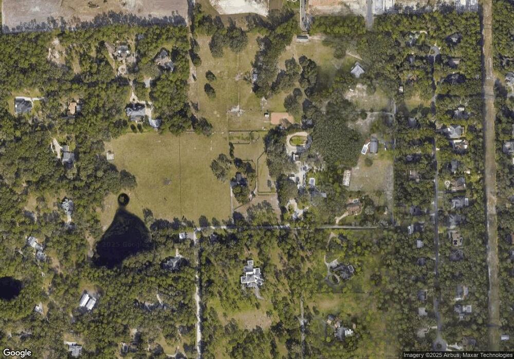
Map
Nearby Homes
- 1440 Arroyo Vista Dr
- 435 Anne St
- 1545 Covered Bridge Dr
- 511 Baroness Way
- 217 Elizabeth Rd
- 1020 Orange Camp Rd
- 391 Lady Bella Place
- 115 Duchess Rd
- 810 E Yorkshire Dr
- 158 Victoria Oaks Blvd
- 336 Camilla Rd
- 1621 Timber Hills Dr
- 326 Charles Dr
- 324 Charles Dr
- 860 Torchwood Dr
- 321 Charles Dr
- 531 Emily Glen St
- 312 Charles Dr
- 574 Lady Grace Place
- 316 Nowell Loop
- 978 Kelsey Ave
- 1430 Arroyo Vista Dr Unit 10
- 1430 Arroyo Vista Dr
- 2390 Southern Pines Place
- 990 Kelsey Ave
- 2430 S Hill Ave
- 2327 Southern Pines Place
- 1400 Arroyo Vista Dr
- 900 Lincoln Rd
- 909 Lincoln Rd
- 1462 Covered Bridge Dr
- 1482 Covered Bridge Dr
- 2440 S Hill Ave
- 1472 Covered Bridge Dr
- 1492 Covered Bridge Dr
- 1452 Covered Bridge Dr
- 1502 Covered Bridge Dr
- 1442 Covered Bridge Dr
- 1512 Covered Bridge Dr
- 2333 Southern Pines Place