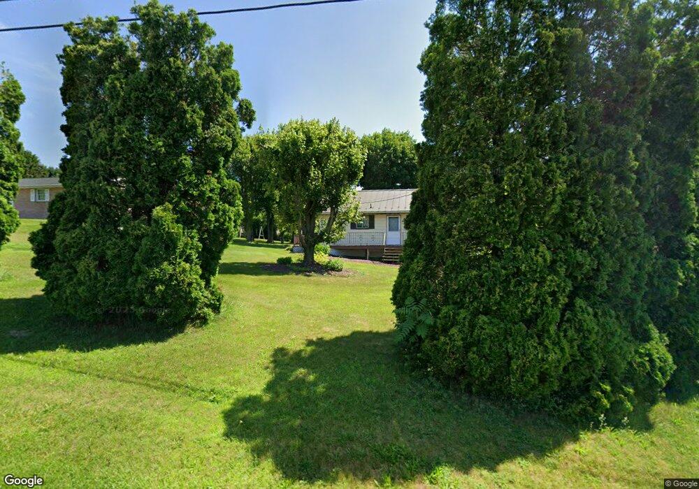
970 Koch Rd Kunkletown, PA 18058
Estimated Value: $159,346 - $229,000
1
Bed
1
Bath
1,237
Sq Ft
$167/Sq Ft
Est. Value
About This Home
This home is located at 970 Koch Rd, Kunkletown, PA 18058 and is currently estimated at $206,587, approximately $167 per square foot. 970 Koch Rd is a home located in Carbon County with nearby schools including Palmerton Area High School.
Ownership History
Date
Name
Owned For
Owner Type
Purchase Details
Closed on
Nov 25, 2009
Sold by
Swartz Durke A and Swartz Julie R
Bought by
Decroce Richard J
Current Estimated Value
Purchase Details
Closed on
Aug 17, 2006
Sold by
Ezzell George L and Ezzell Mabel F
Bought by
Swartz Durke A and Swartz Julie R
Home Financials for this Owner
Home Financials are based on the most recent Mortgage that was taken out on this home.
Original Mortgage
$127,500
Interest Rate
6.88%
Mortgage Type
Purchase Money Mortgage
Create a Home Valuation Report for This Property
The Home Valuation Report is an in-depth analysis detailing your home's value as well as a comparison with similar homes in the area
Home Values in the Area
Average Home Value in this Area
Purchase History
| Date | Buyer | Sale Price | Title Company |
|---|---|---|---|
| Decroce Richard J | $132,000 | None Available | |
| Swartz Durke A | $125,000 | None Available |
Source: Public Records
Mortgage History
| Date | Status | Borrower | Loan Amount |
|---|---|---|---|
| Previous Owner | Swartz Durke A | $127,500 |
Source: Public Records
Tax History Compared to Growth
Tax History
| Year | Tax Paid | Tax Assessment Tax Assessment Total Assessment is a certain percentage of the fair market value that is determined by local assessors to be the total taxable value of land and additions on the property. | Land | Improvement |
|---|---|---|---|---|
| 2025 | $2,811 | $33,500 | $11,150 | $22,350 |
| 2024 | $2,677 | $33,500 | $11,150 | $22,350 |
| 2023 | $2,585 | $33,500 | $11,150 | $22,350 |
| 2022 | $2,492 | $33,500 | $11,150 | $22,350 |
| 2021 | $2,413 | $33,500 | $11,150 | $22,350 |
| 2020 | $2,379 | $33,500 | $11,150 | $22,350 |
| 2019 | $2,312 | $33,500 | $11,150 | $22,350 |
| 2018 | $2,312 | $33,500 | $11,150 | $22,350 |
| 2017 | $2,271 | $33,500 | $11,150 | $22,350 |
| 2016 | -- | $33,500 | $11,150 | $22,350 |
| 2015 | -- | $33,500 | $11,150 | $22,350 |
| 2014 | -- | $33,500 | $11,150 | $22,350 |
Source: Public Records
Map
Nearby Homes
- 85 Panorama Cir
- 125 Hillview Rd
- 90 Halina Way
- 2 T425
- 157 Viewtop Rd
- 1101 Red Fox Ct Unit Ct 9
- 0 T425
- 229 Deer Path
- 0 Log Fence Rd Unit PACC2006852
- 0 Log Fence Rd Unit PM-136800
- 0 Log Fence Rd Unit 767042
- 969 Hideaway Hill Rd
- 207 Scenic Dr
- 150 Red Oak Dr
- 209 Floyd Dr
- Lot 32 Greenview Ct
- 175 Basket Ln
- 424 Mark Ln
- 0 Dayne Dr
- 1160 Dayne Dr