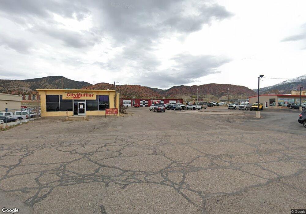
970 N Main St Cedar City, UT 84721
--
Bed
--
Bath
6,612
Sq Ft
1.9
Acres
About This Home
This home is located at 970 N Main St, Cedar City, UT 84721. 970 N Main St is a home located in Iron County with nearby schools including Fiddlers Canyon School, Canyon View Middle School, and Canyon View High School.
Ownership History
Date
Name
Owned For
Owner Type
Purchase Details
Closed on
Jun 24, 2022
Sold by
John And Annette Murray Family Trust
Bought by
4 Seasons Auto Llc
Home Financials for this Owner
Home Financials are based on the most recent Mortgage that was taken out on this home.
Original Mortgage
$1,068,000
Outstanding Balance
$1,016,470
Interest Rate
5.3%
Mortgage Type
New Conventional
Purchase Details
Closed on
Oct 22, 2019
Sold by
Murray John and Murray Annette
Bought by
Murray John Henry and Murray Annette
Purchase Details
Closed on
Dec 5, 2018
Sold by
Murray John H and Murray Annette A
Bought by
Murray John H and Murray Annette A
Purchase Details
Closed on
Feb 9, 2016
Sold by
Homers Boys Llc
Bought by
Jts Trust
Home Financials for this Owner
Home Financials are based on the most recent Mortgage that was taken out on this home.
Interest Rate
3.72%
Create a Home Valuation Report for This Property
The Home Valuation Report is an in-depth analysis detailing your home's value as well as a comparison with similar homes in the area
Home Values in the Area
Average Home Value in this Area
Purchase History
| Date | Buyer | Sale Price | Title Company |
|---|---|---|---|
| 4 Seasons Auto Llc | -- | Cedar Land Title | |
| Murray John Henry | -- | None Available | |
| Murray John H | -- | Cedar Land Title Inc | |
| Jts Trust | -- | -- |
Source: Public Records
Mortgage History
| Date | Status | Borrower | Loan Amount |
|---|---|---|---|
| Open | 4 Seasons Auto Llc | $1,068,000 | |
| Previous Owner | Jts Trust | -- |
Source: Public Records
Tax History Compared to Growth
Tax History
| Year | Tax Paid | Tax Assessment Tax Assessment Total Assessment is a certain percentage of the fair market value that is determined by local assessors to be the total taxable value of land and additions on the property. | Land | Improvement |
|---|---|---|---|---|
| 2025 | $707 | $90,956 | $52,708 | $38,248 |
| 2023 | $670 | $78,490 | $38,330 | $40,160 |
| 2022 | $589 | $64,120 | $25,875 | $38,245 |
| 2021 | $491 | $53,430 | $21,560 | $31,870 |
| 2020 | $511 | $49,275 | $21,560 | $27,715 |
| 2019 | $534 | $49,275 | $21,560 | $27,715 |
| 2018 | $552 | $49,275 | $21,560 | $27,715 |
| 2017 | $561 | $49,275 | $21,560 | $27,715 |
| 2016 | $571 | $46,755 | $21,560 | $25,195 |
| 2015 | $593 | $46,035 | $0 | $0 |
| 2014 | $634 | $46,035 | $0 | $0 |
Source: Public Records
Map
Nearby Homes
- 1045 N Main St
- 80 W 900 N Unit 9
- 279 E Cedar Ridge Cir Unit Lot 11
- 279 E Cedar Ridge Cir
- 280 E Cedar Ridge Cir Unit Lot 1
- 368 E Cedar Ridge Cir
- 315 E Cedar Ridge Cir Unit 9
- 298 E Cedar Ridge Cir Unit Lot 2
- 263 E Cedar Ridge Cir Unit Lot 12
- 368 E Cedar Ridge Cir Unit Lot 6A
- 280 E Cedar Ridge Cir
- 331 E Cedar Ridge Cir Unit 8
- 263 E Cedar Ridge Cir
- 316 E Cedar Ridge Cir Unit 3
- 351 E Cedar Ridge Cir Unit Lot 7
- 331 E Cedar Ridge Cir
- 280 E Cedar Ridge Cir Unit 1
- 352 E Cedar Ridge Cir Unit Lot 5
- 297 E Cedar Ridge Cir
- 315 E Cedar Ridge Cir Unit Lot 9
- 990 N Main St
- 941 N Main St
- 941 N Main St
- 920 N Main St
- 929 N Main St
- Sec 33 W1 2 Se1 4 Sw1 4
- 903 N Main St
- 991 N Main St
- 1024 N Main St
- 0 Shakespear Hardwood Flooring Unit 20-214557
- 0 Shakespear Hardwood Flooring Unit 90276
- 0 Wood Flooring Business Unit 98226
- Lot 49 Canyon Ridge Sub Ph II
- 60 W 900 N
- 60 W 900 N Unit 60
- 890 N Main St
- 427 S Main St Ste 203 2nd Floor
- 2.0 ac Feet of Water North of Hwy 56
- 900 N 150 W
- 80 W 900 N