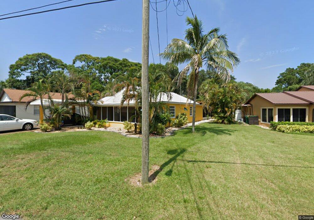
970 Oak St Merritt Island, FL 32953
Estimated Value: $204,426 - $247,000
2
Beds
1
Bath
928
Sq Ft
$244/Sq Ft
Est. Value
About This Home
This home is located at 970 Oak St, Merritt Island, FL 32953 and is currently estimated at $226,607, approximately $244 per square foot. 970 Oak St is a home located in Brevard County with nearby schools including Mila Elementary School, Thomas Jefferson Middle School, and Merritt Island High School.
Ownership History
Date
Name
Owned For
Owner Type
Purchase Details
Closed on
Jul 16, 2025
Sold by
Marks Paul Michael
Bought by
Marks Paul Michael and Whitley Rhonda
Current Estimated Value
Purchase Details
Closed on
Oct 18, 2004
Sold by
Hanan Roy T
Bought by
Marks Paul Michael
Home Financials for this Owner
Home Financials are based on the most recent Mortgage that was taken out on this home.
Original Mortgage
$98,400
Interest Rate
5.64%
Purchase Details
Closed on
Dec 6, 2001
Sold by
Martin Lucille S
Bought by
Hanan Roy T
Home Financials for this Owner
Home Financials are based on the most recent Mortgage that was taken out on this home.
Original Mortgage
$69,600
Interest Rate
6.6%
Create a Home Valuation Report for This Property
The Home Valuation Report is an in-depth analysis detailing your home's value as well as a comparison with similar homes in the area
Home Values in the Area
Average Home Value in this Area
Purchase History
| Date | Buyer | Sale Price | Title Company |
|---|---|---|---|
| Marks Paul Michael | $100 | None Listed On Document | |
| Marks Paul Michael | $100 | None Listed On Document | |
| Marks Paul Michael | $123,000 | Gulfatlantic Title | |
| Hanan Roy T | $89,900 | -- |
Source: Public Records
Mortgage History
| Date | Status | Borrower | Loan Amount |
|---|---|---|---|
| Previous Owner | Marks Paul Michael | $98,400 | |
| Previous Owner | Hanan Roy T | $69,600 | |
| Closed | Marks Paul Michael | $20,000 |
Source: Public Records
Tax History Compared to Growth
Tax History
| Year | Tax Paid | Tax Assessment Tax Assessment Total Assessment is a certain percentage of the fair market value that is determined by local assessors to be the total taxable value of land and additions on the property. | Land | Improvement |
|---|---|---|---|---|
| 2025 | $870 | $62,180 | -- | -- |
| 2024 | $854 | $60,430 | -- | -- |
| 2023 | $854 | $58,670 | $0 | $0 |
| 2022 | $812 | $56,970 | $0 | $0 |
| 2021 | $820 | $55,320 | $0 | $0 |
| 2020 | $787 | $54,560 | $0 | $0 |
| 2019 | $734 | $53,340 | $0 | $0 |
| 2018 | $734 | $52,350 | $0 | $0 |
| 2017 | $734 | $51,280 | $0 | $0 |
| 2016 | $739 | $50,230 | $24,000 | $26,230 |
| 2015 | $742 | $49,890 | $24,000 | $25,890 |
| 2014 | $743 | $49,500 | $24,000 | $25,500 |
Source: Public Records
Map
Nearby Homes
- 1130 Ogden St
- 290 Eyre Ave
- 1170 King St
- 250 Perth Ave
- 5794 N Tropical Trail
- 235 Eyre Ave
- 505 Sawyer Ave
- 265 Coldstream Ave
- 255 Viscount Ave
- 280 Grove Blvd
- 140 Queensland Ave
- 1405 N Tropical Trail
- 940 Butia St
- 287 Marion Place
- 220 Maureen Ave
- 610 Buttonwood Dr
- 301 Sherwood Place
- 310 Sherwood Place
- 545 Easy St
- 180 Minna Ln Unit 417