Estimated Value: $227,000 - $1,394,435
--
Bed
--
Bath
1,664
Sq Ft
$598/Sq Ft
Est. Value
About This Home
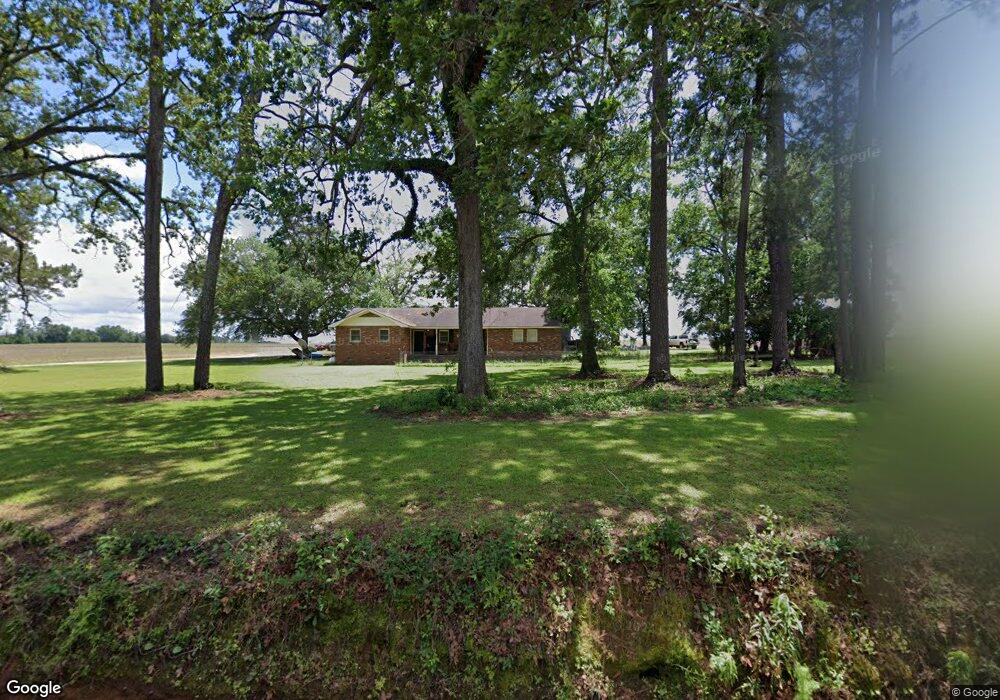
This home is located at 970 Okapilco Church Rd, Dixie, GA 31629 and is currently estimated at $995,145, approximately $598 per square foot. 970 Okapilco Church Rd is a home with nearby schools including North Brooks Elementary School.
Ownership History
Date
Name
Owned For
Owner Type
Purchase Details
Closed on
Apr 7, 2016
Sold by
Lawson H Irvin
Bought by
Price Herbert Roger
Current Estimated Value
Purchase Details
Closed on
Jul 27, 2015
Sold by
Lawson Ii H Irvin
Bought by
Conservation Use Covenant Recording
Purchase Details
Closed on
Apr 8, 2004
Sold by
Lawson Shirley Ann Yates Etal
Bought by
Lawson Ii H Irvin
Purchase Details
Closed on
Nov 9, 1999
Sold by
Yates Emma Z
Bought by
Lawson Shirley Ann Yates Etal
Purchase Details
Closed on
Jan 1, 1990
Sold by
Yates Jack C
Bought by
Yates Emma Z
Purchase Details
Closed on
Aug 11, 1986
Bought by
Yates Jack C
Create a Home Valuation Report for This Property
The Home Valuation Report is an in-depth analysis detailing your home's value as well as a comparison with similar homes in the area
Home Values in the Area
Average Home Value in this Area
Purchase History
| Date | Buyer | Sale Price | Title Company |
|---|---|---|---|
| Price Herbert Roger | $620,000 | -- | |
| Conservation Use Covenant Recording | -- | -- | |
| Lawson Ii H Irvin | $418,000 | -- | |
| Lawson Shirley Ann Yates Etal | -- | -- | |
| Yates Emma Z | -- | -- | |
| Yates Jack C | -- | -- |
Source: Public Records
Tax History Compared to Growth
Tax History
| Year | Tax Paid | Tax Assessment Tax Assessment Total Assessment is a certain percentage of the fair market value that is determined by local assessors to be the total taxable value of land and additions on the property. | Land | Improvement |
|---|---|---|---|---|
| 2025 | $3,453 | $372,360 | $334,200 | $38,160 |
| 2024 | $3,453 | $372,360 | $334,200 | $38,160 |
| 2023 | $3,432 | $329,840 | $289,920 | $39,920 |
| 2022 | $3,390 | $306,280 | $276,120 | $30,160 |
| 2021 | $3,233 | $255,040 | $227,440 | $27,600 |
| 2020 | $7,092 | $255,360 | $227,440 | $27,920 |
| 2019 | $2,983 | $225,000 | $200,120 | $24,880 |
| 2018 | $7,235 | $247,720 | $222,320 | $25,400 |
| 2017 | $2,896 | $246,840 | $222,320 | $24,520 |
| 2016 | $2,883 | $247,524 | $222,320 | $25,204 |
| 2015 | -- | $268,484 | $243,040 | $25,444 |
| 2014 | -- | $276,004 | $246,200 | $29,804 |
| 2013 | -- | $276,004 | $246,200 | $29,804 |
Source: Public Records
Map
Nearby Homes
- 2818 Dry Lake Rd
- 1136 Nesbitt Rd
- 0 Spencer Rd
- 431 Dry Lake Rd
- 1038-BA Church St
- 9283 Tallokas Rd Unit 54/13
- 9283 Tallokas Rd
- 7402 Coffee Rd
- 9900 Ozell Rd
- 2055 S Roberts St
- 5199 U S 84
- 2051 W Pear St
- 1230 Parrish Rd
- 237 Turkey Ridge Ln
- 813 Vonier Road (6 Acres)
- 302 Waterside Dr
- 103 Victorian Way
- 1002 N Madison St
- 602 N Webster St
- 714 Morris Ave