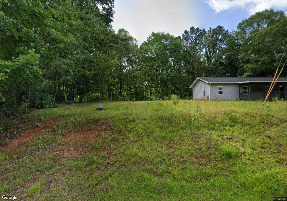
970 Plowshare Rd Carrollton, GA 30117
Estimated Value: $229,000 - $271,000
1
Bed
1
Bath
1,440
Sq Ft
$174/Sq Ft
Est. Value
About This Home
This home is located at 970 Plowshare Rd, Carrollton, GA 30117 and is currently estimated at $250,111, approximately $173 per square foot. 970 Plowshare Rd is a home located in Carroll County with nearby schools including Mt. Zion Elementary School, Mt. Zion Middle School, and Mt. Zion High School.
Ownership History
Date
Name
Owned For
Owner Type
Purchase Details
Closed on
Dec 8, 2004
Sold by
Griffith Marc L and Griffith Li
Bought by
Griffith Lisa W
Current Estimated Value
Purchase Details
Closed on
Dec 3, 2004
Sold by
Griffith Mark Lee
Bought by
Griffith Lisa W
Purchase Details
Closed on
May 21, 1999
Sold by
Griffith Marc L
Bought by
Griffith Marc L and Griffith Li
Purchase Details
Closed on
Jun 6, 1995
Sold by
Griffith Marc L
Bought by
Griffith Marc L
Purchase Details
Closed on
May 5, 1994
Bought by
Griffith Marc L
Create a Home Valuation Report for This Property
The Home Valuation Report is an in-depth analysis detailing your home's value as well as a comparison with similar homes in the area
Home Values in the Area
Average Home Value in this Area
Purchase History
| Date | Buyer | Sale Price | Title Company |
|---|---|---|---|
| Griffith Lisa W | -- | -- | |
| Griffith Lisa W | -- | -- | |
| Griffith Marc L | -- | -- | |
| Griffith Marc L | $600 | -- | |
| Griffith Marc L | -- | -- |
Source: Public Records
Tax History Compared to Growth
Tax History
| Year | Tax Paid | Tax Assessment Tax Assessment Total Assessment is a certain percentage of the fair market value that is determined by local assessors to be the total taxable value of land and additions on the property. | Land | Improvement |
|---|---|---|---|---|
| 2024 | $1,382 | $79,234 | $9,740 | $69,494 |
| 2023 | $1,382 | $71,076 | $7,792 | $63,284 |
| 2022 | $1,059 | $53,709 | $2,939 | $50,770 |
| 2021 | $946 | $45,945 | $2,351 | $43,594 |
| 2020 | $855 | $40,883 | $2,137 | $38,746 |
| 2019 | $811 | $38,110 | $2,137 | $35,973 |
| 2018 | $652 | $28,827 | $1,616 | $27,211 |
| 2017 | $654 | $28,827 | $1,616 | $27,211 |
| 2016 | $654 | $28,827 | $1,616 | $27,211 |
| 2015 | $698 | $28,972 | $3,542 | $25,430 |
| 2014 | $701 | $28,972 | $3,542 | $25,430 |
Source: Public Records
Map
Nearby Homes
- 113 Richmond Dr
- 113 Natures Pointe Trail
- 304 Kodiak Rd
- 1202 Mount Zion Rd
- 442 Plowshare Rd
- 190 Marvin Gray Rd
- The Joey Plan at Hidden Hills
- The Daniel Plan at Hidden Hills
- 132 Pinnacle Way
- 2994 Mount Zion Rd
- 2994 Mount Zion Rd Unit 1
- 2994 Mount Zion Rd Unit 3
- 50 Green Acres Dr
- 1423 Beulah Church Rd
- 85 Eureka Church Rd Unit 152
- 000 Beulah Church Rd
- 101 Bonnie Lynn Ln
- 77 Little River Rd
- 952 Plowshare Rd
- 984 Plowshare Rd
- 942 Plowshare Rd
- 316 Harper Rd
- 920 Plowshare Rd
- 1014 Plowshare Rd
- 937 Plowshare Rd
- 947 Plowshare Rd
- 927 Plowshare Rd
- 915 Plowshare Rd
- 270 Harper Rd
- 883 Plowshare Rd
- 247 Harper Rd
- 248 Harper Rd
- 871 Plowshare Rd
- 100 Richmond Dr
- 223 Harper Rd
- 92 Harpers Place
- 198 Harper Rd
- 138 Natures Pointe Trail