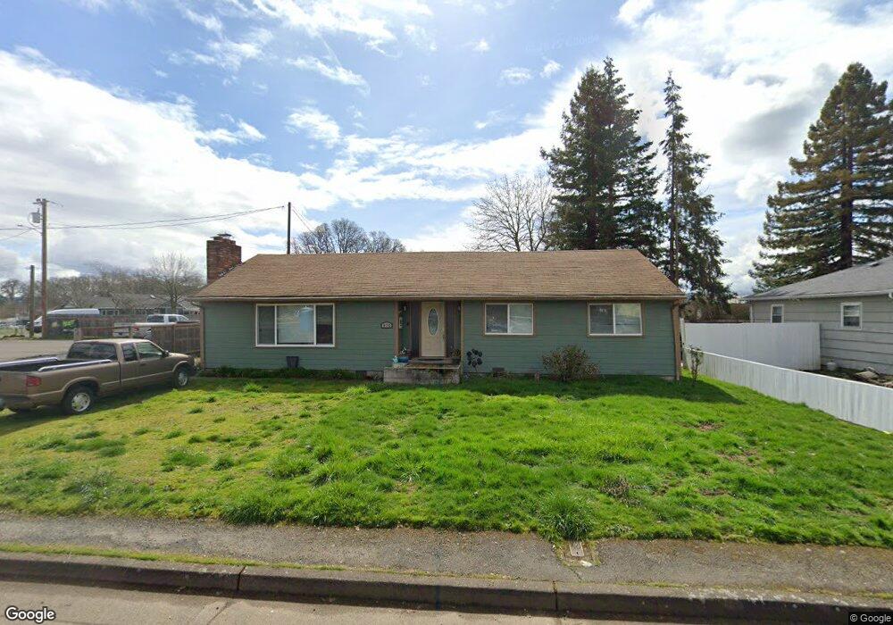
970 S Airport Rd Lebanon, OR 97355
Estimated Value: $398,758 - $471,000
3
Beds
2
Baths
1,891
Sq Ft
$230/Sq Ft
Est. Value
About This Home
This home is located at 970 S Airport Rd, Lebanon, OR 97355 and is currently estimated at $434,879, approximately $229 per square foot. 970 S Airport Rd is a home located in Linn County with nearby schools including Cascades School, Seven Oak Middle School, and Lebanon High School.
Ownership History
Date
Name
Owned For
Owner Type
Purchase Details
Closed on
Apr 14, 2021
Sold by
Smith Stanley D and Smith Judy Kay
Bought by
Sranna Jaswant and Sranna Sukhvir
Current Estimated Value
Purchase Details
Closed on
Apr 20, 2005
Sold by
Ammon Randy L and Doyle Michael B
Bought by
Smith Stanley D and Smith Judy Kay
Home Financials for this Owner
Home Financials are based on the most recent Mortgage that was taken out on this home.
Original Mortgage
$98,400
Interest Rate
8.75%
Mortgage Type
Purchase Money Mortgage
Create a Home Valuation Report for This Property
The Home Valuation Report is an in-depth analysis detailing your home's value as well as a comparison with similar homes in the area
Home Values in the Area
Average Home Value in this Area
Purchase History
| Date | Buyer | Sale Price | Title Company |
|---|---|---|---|
| Sranna Jaswant | $335,000 | Ticor Title Company Of Or | |
| Smith Stanley D | $123,000 | Fidelity Natl Title Ins Co |
Source: Public Records
Mortgage History
| Date | Status | Borrower | Loan Amount |
|---|---|---|---|
| Previous Owner | Smith Stanley D | $98,400 |
Source: Public Records
Tax History Compared to Growth
Tax History
| Year | Tax Paid | Tax Assessment Tax Assessment Total Assessment is a certain percentage of the fair market value that is determined by local assessors to be the total taxable value of land and additions on the property. | Land | Improvement |
|---|---|---|---|---|
| 2024 | $3,404 | $162,000 | -- | -- |
| 2023 | $2,315 | $157,290 | $0 | $0 |
| 2022 | $2,266 | $152,710 | $0 | $0 |
| 2021 | $2,170 | $148,270 | $0 | $0 |
| 2020 | $2,126 | $143,960 | $0 | $0 |
| 2019 | $2,071 | $139,770 | $0 | $0 |
| 2018 | $2,019 | $135,700 | $0 | $0 |
| 2017 | $1,952 | $131,750 | $0 | $0 |
| 2016 | $1,862 | $127,920 | $0 | $0 |
| 2015 | $1,769 | $124,200 | $0 | $0 |
| 2014 | $1,660 | $115,950 | $0 | $0 |
Source: Public Records
Map
Nearby Homes
- 1989 S 12th St
- 981 Wassom St
- 951 Wassom St
- 841 Wassom St
- 1011 F St
- 2562 Promise Way
- 2574 Promise Way
- 923 Walker Rd
- 2586 Promise Way
- 2598 Promise Way
- 930 Walker Rd
- 975 W E (-985) St
- 0000 Airport Dr
- 2671 Stoltz Hill Rd
- 2634 S 7th St
- 2690 Stoltz Hill Rd
- 745 Azalea St
- 1087 S 10th St
- 1800 S 2nd St
- 590 Manor Way
- 980 S Airport Rd
- 2010 Stoltz Hill Rd
- 2040 Stoltz Hill Rd
- 990 S Airport Rd
- 911 S Airport Rd
- 998 S Airport Rd
- 2080 Stoltz Hill Rd
- 981 S Airport Rd
- 995 S Airport Rd
- 1999 Stoltz Hill Rd
- 2015 Stoltz Hill Rd
- TL#302 Strawberry Ln
- TL302 Strawberry Ln
- 1987 Stoltz Hill Rd
- 2045 Stoltz Hill Rd
- 2120 Stoltz Hill Rd
- 2120 Stoltz Hill Next To Rd
- 2120 Stoltz Hill + Lot Rd
- 2085 Stoltz Hill Rd
- 1020 S Airport Rd