Estimated Value: $250,000 - $267,000
3
Beds
2
Baths
1,546
Sq Ft
$168/Sq Ft
Est. Value
About This Home
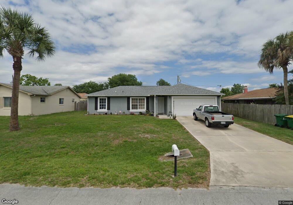
This home is located at 970 Tope St, Cocoa, FL 32927 and is currently estimated at $259,143, approximately $167 per square foot. 970 Tope St is a home located in Brevard County with nearby schools including Atlantis Elementary School, Space Coast Junior/Senior High School, and East Atlantic Prep of Brevard County.
Ownership History
Date
Name
Owned For
Owner Type
Purchase Details
Closed on
May 27, 2016
Sold by
Goins Susan K
Bought by
Killen Bobby E
Current Estimated Value
Purchase Details
Closed on
Jul 7, 2000
Sold by
Holiday Bldr Inc
Bought by
Goins Susan K
Home Financials for this Owner
Home Financials are based on the most recent Mortgage that was taken out on this home.
Original Mortgage
$54,150
Interest Rate
8.54%
Purchase Details
Closed on
Mar 13, 2000
Sold by
Belmont Homes Inc
Bought by
Holdiay Bldr Inc
Create a Home Valuation Report for This Property
The Home Valuation Report is an in-depth analysis detailing your home's value as well as a comparison with similar homes in the area
Home Values in the Area
Average Home Value in this Area
Purchase History
| Date | Buyer | Sale Price | Title Company |
|---|---|---|---|
| Killen Bobby E | $125,000 | Attorney | |
| Goins Susan K | $66,600 | -- | |
| Holdiay Bldr Inc | $8,000 | -- |
Source: Public Records
Mortgage History
| Date | Status | Borrower | Loan Amount |
|---|---|---|---|
| Previous Owner | Goins Susan K | $54,150 |
Source: Public Records
Tax History
| Year | Tax Paid | Tax Assessment Tax Assessment Total Assessment is a certain percentage of the fair market value that is determined by local assessors to be the total taxable value of land and additions on the property. | Land | Improvement |
|---|---|---|---|---|
| 2025 | $1,579 | $126,550 | -- | -- |
| 2024 | $1,544 | $122,990 | -- | -- |
| 2023 | $1,544 | $119,410 | $0 | $0 |
| 2022 | $1,437 | $115,940 | $0 | $0 |
| 2021 | $1,449 | $112,570 | $0 | $0 |
| 2020 | $1,414 | $111,020 | $0 | $0 |
| 2019 | $1,354 | $108,530 | $0 | $0 |
| 2018 | $1,351 | $106,510 | $0 | $0 |
| 2017 | $1,354 | $104,320 | $24,000 | $80,320 |
| 2016 | $827 | $61,010 | $18,000 | $43,010 |
| 2015 | $834 | $60,590 | $15,000 | $45,590 |
| 2014 | $838 | $60,110 | $11,000 | $49,110 |
Source: Public Records
Map
Nearby Homes
- 214 Chase Rd
- 000 Arabella Ln
- 361 Payne Ave
- 7420 U S Route 1 Unit 106
- 7350 N Highway 1 Unit 201
- 7330 N Highway 1 Unit 206
- 7310 N Highway 1 Unit 201
- 7300 N Highway 1 Unit 104
- 208 Capron Rd
- 977 Poinsetta St
- 973 Poinsetta St
- 0 Kanawha St
- 7240 N Highway 1 Unit 106
- 414 Oakridge Ave
- 7400 N Highway 1 Unit 105
- 7470 N Highway 1 Unit 105
- 873 Dunbar St
- 865 Dunbar St
- 1040 Jersey St
- 925 MacCo Rd
Your Personal Tour Guide
Ask me questions while you tour the home.