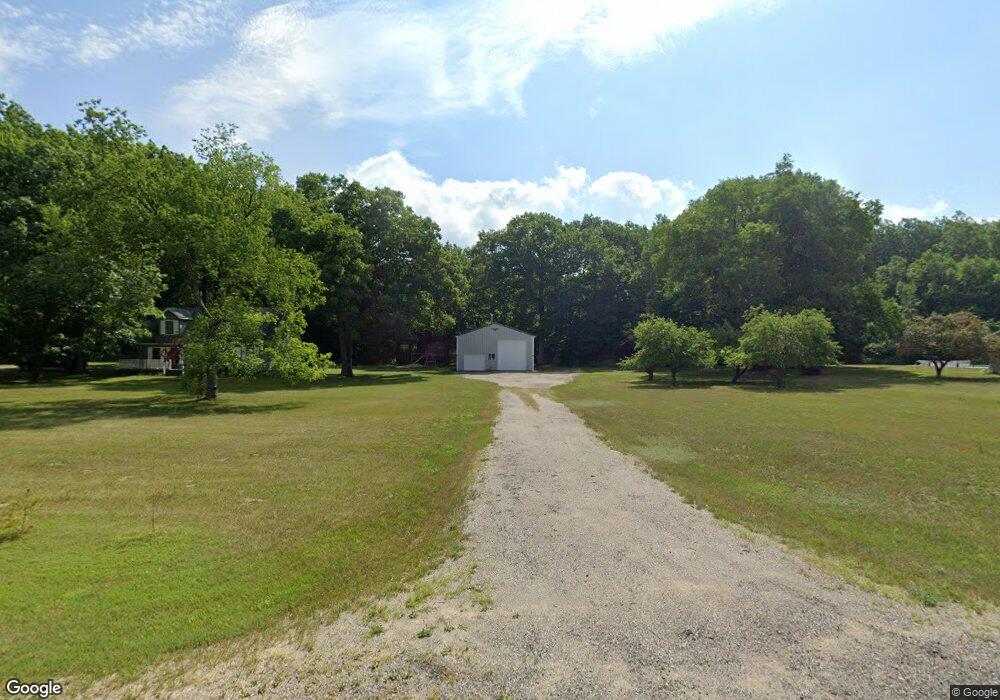
9700 190th Ave Stanwood, MI 49346
Estimated Value: $318,048 - $412,000
4
Beds
2
Baths
1,738
Sq Ft
$212/Sq Ft
Est. Value
About This Home
This home is located at 9700 190th Ave, Stanwood, MI 49346 and is currently estimated at $368,262, approximately $211 per square foot. 9700 190th Ave is a home located in Mecosta County with nearby schools including Morley Stanwood Elementary School, Morley Stanwood Middle School, and Morley Stanwood High School.
Ownership History
Date
Name
Owned For
Owner Type
Purchase Details
Closed on
Jul 31, 2017
Sold by
Cranney Scott R
Bought by
Kiio Karyn and Kiio Kyatha
Current Estimated Value
Home Financials for this Owner
Home Financials are based on the most recent Mortgage that was taken out on this home.
Original Mortgage
$171,830
Outstanding Balance
$145,417
Interest Rate
4.5%
Mortgage Type
FHA
Estimated Equity
$222,845
Purchase Details
Closed on
Feb 20, 2015
Sold by
Cranney Trina K
Bought by
Cranney Scott R
Home Financials for this Owner
Home Financials are based on the most recent Mortgage that was taken out on this home.
Original Mortgage
$127,500
Interest Rate
3.75%
Mortgage Type
Adjustable Rate Mortgage/ARM
Create a Home Valuation Report for This Property
The Home Valuation Report is an in-depth analysis detailing your home's value as well as a comparison with similar homes in the area
Home Values in the Area
Average Home Value in this Area
Purchase History
| Date | Buyer | Sale Price | Title Company |
|---|---|---|---|
| Kiio Karyn | -- | Lakeland Title | |
| Cranney Scott R | -- | Corporate Settlement Solutio |
Source: Public Records
Mortgage History
| Date | Status | Borrower | Loan Amount |
|---|---|---|---|
| Open | Kiio Karyn | $171,830 | |
| Previous Owner | Cranney Scott R | $127,500 |
Source: Public Records
Tax History Compared to Growth
Tax History
| Year | Tax Paid | Tax Assessment Tax Assessment Total Assessment is a certain percentage of the fair market value that is determined by local assessors to be the total taxable value of land and additions on the property. | Land | Improvement |
|---|---|---|---|---|
| 2025 | $2,062 | $128,200 | $0 | $0 |
| 2024 | -- | $121,900 | $0 | $0 |
| 2023 | -- | $96,400 | $0 | $0 |
| 2022 | $0 | $87,800 | $0 | $0 |
| 2021 | -- | $83,300 | $0 | $0 |
| 2020 | -- | -- | $0 | $0 |
| 2019 | -- | -- | $0 | $0 |
| 2018 | -- | -- | $0 | $0 |
| 2017 | -- | -- | $0 | $0 |
| 2016 | -- | -- | $0 | $0 |
| 2014 | -- | -- | $0 | $0 |
| 2013 | -- | -- | $0 | $0 |
Source: Public Records
Map
Nearby Homes
- 11225 Birchpark Dr
- 20122 Hayes Rd
- 7 8 Mile Rd
- V/L 180th Ave
- 11621 Riverside Dr
- 78 1st St
- 18415 12 Mile Rd
- 8129 Old State Rd
- 6831 190th Ave
- 18480 1st St
- 18685 Kreig Dr
- 12260 183rd Ave
- 0 006 007 185th
- 18642 Garfield Rd
- 18570 Garfield Rd
- 9173 220th Ave
- 20916 12 Mile Rd
- 8214 Old State Rd
- 0 Old State Rd
- 10667 220th Ave
- 9708 190th Ave
- 9600 190th Ave
- 9610 190th Ave
- 9800 190th Ave
- 9767 190th Ave
- 9790 190th Ave
- 9736 190th Ave
- 9585 190th Ave
- 9817 190th Ave
- 9812 190th Ave
- 9855 190th Ave
- 9703 190th Ave
- 19090 Lincoln Rd
- 19096 Lincoln Rd
- 9958 190th Ave
- 9526 190th Ave
- 19124 Lincoln Rd
- 9415 190th Ave
- 9408 190th Ave
- 0 10 Mile Rd