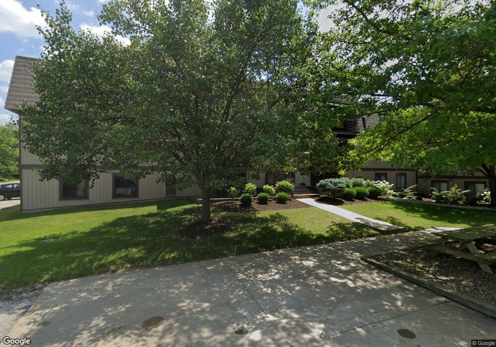
9700 Cove Dr Unit 2G North Royalton, OH 44133
Estimated Value: $120,972 - $135,000
2
Beds
2
Baths
903
Sq Ft
$142/Sq Ft
Est. Value
About This Home
This home is located at 9700 Cove Dr Unit 2G, North Royalton, OH 44133 and is currently estimated at $127,986, approximately $141 per square foot. 9700 Cove Dr Unit 2G is a home located in Cuyahoga County with nearby schools including North Royalton Middle School, North Royalton High School, and Saint Albert the Great Roman Catholic School.
Ownership History
Date
Name
Owned For
Owner Type
Purchase Details
Closed on
Jan 24, 2019
Sold by
Qamar Ali 1 Llc
Bought by
Hryvnyak Vas
Current Estimated Value
Home Financials for this Owner
Home Financials are based on the most recent Mortgage that was taken out on this home.
Original Mortgage
$69,255
Outstanding Balance
$60,888
Interest Rate
4.5%
Mortgage Type
New Conventional
Estimated Equity
$67,098
Purchase Details
Closed on
Jul 16, 2018
Sold by
Kish Kathleen A
Bought by
Third Federal National Mortgage Associt
Purchase Details
Closed on
Apr 24, 2008
Sold by
Huber Edward J
Bought by
Kish Kathleen A
Home Financials for this Owner
Home Financials are based on the most recent Mortgage that was taken out on this home.
Original Mortgage
$59,300
Interest Rate
6.17%
Mortgage Type
Purchase Money Mortgage
Purchase Details
Closed on
Jul 26, 2005
Sold by
Dahler Matthew D and Dahler Jennifer B
Bought by
Huber Edward J
Home Financials for this Owner
Home Financials are based on the most recent Mortgage that was taken out on this home.
Original Mortgage
$62,500
Interest Rate
5.74%
Mortgage Type
Fannie Mae Freddie Mac
Purchase Details
Closed on
Apr 23, 2003
Sold by
Phipps Tamara and Benko Richard
Bought by
Dahler Matthew D
Home Financials for this Owner
Home Financials are based on the most recent Mortgage that was taken out on this home.
Original Mortgage
$57,600
Interest Rate
5.71%
Purchase Details
Closed on
Feb 7, 2000
Sold by
Roth Mark A
Bought by
Benko Tammy M and Benko Richard
Home Financials for this Owner
Home Financials are based on the most recent Mortgage that was taken out on this home.
Original Mortgage
$40,000
Interest Rate
8.16%
Purchase Details
Closed on
Oct 7, 1981
Sold by
Tokmenko Thom D and B W
Bought by
Roth Mark A
Purchase Details
Closed on
Jan 1, 1978
Bought by
Tokmenko Thom D and B W
Create a Home Valuation Report for This Property
The Home Valuation Report is an in-depth analysis detailing your home's value as well as a comparison with similar homes in the area
Home Values in the Area
Average Home Value in this Area
Purchase History
| Date | Buyer | Sale Price | Title Company |
|---|---|---|---|
| Hryvnyak Vas | $72,900 | First Meridian Title Agency | |
| Third Federal National Mortgage Associt | $33,334 | None Available | |
| Kish Kathleen A | $67,000 | Real Living Title Agency Ltd | |
| Huber Edward J | $67,500 | Land Title Agency | |
| Dahler Matthew D | $65,000 | Premier Title Agency | |
| Benko Tammy M | $50,000 | -- | |
| Roth Mark A | $42,000 | -- | |
| Tokmenko Thom D | -- | -- |
Source: Public Records
Mortgage History
| Date | Status | Borrower | Loan Amount |
|---|---|---|---|
| Open | Hryvnyak Vas | $69,255 | |
| Previous Owner | Kish Kathleen A | $59,300 | |
| Previous Owner | Huber Edward J | $62,500 | |
| Previous Owner | Dahler Matthew D | $57,600 | |
| Previous Owner | Benko Tammy M | $40,000 |
Source: Public Records
Tax History Compared to Growth
Tax History
| Year | Tax Paid | Tax Assessment Tax Assessment Total Assessment is a certain percentage of the fair market value that is determined by local assessors to be the total taxable value of land and additions on the property. | Land | Improvement |
|---|---|---|---|---|
| 2024 | $2,127 | $36,610 | $3,675 | $32,935 |
| 2023 | $1,616 | $25,520 | $2,210 | $23,310 |
| 2022 | $1,605 | $25,520 | $2,210 | $23,310 |
| 2021 | $1,622 | $25,520 | $2,210 | $23,310 |
| 2020 | $1,119 | $16,730 | $1,680 | $15,050 |
| 2019 | $1,111 | $47,800 | $4,800 | $43,000 |
| 2018 | $1,074 | $16,730 | $1,680 | $15,050 |
| 2017 | $1,121 | $16,310 | $1,610 | $14,700 |
| 2016 | $1,050 | $16,310 | $1,610 | $14,700 |
| 2015 | $1,050 | $16,310 | $1,610 | $14,700 |
| 2014 | $1,322 | $20,370 | $2,030 | $18,340 |
Source: Public Records
Map
Nearby Homes
- 9710 Cove Dr Unit 23G
- 9660 Cove Dr Unit F13
- 9800 Cove Dr Unit H2
- 9821 Sunrise Blvd Unit o1
- 9761 Sunrise Blvd
- 9530 Cove Dr Unit C-25
- 9510 Cove Dr Unit C12
- 9611 Sunrise Blvd Unit K2
- 10364 Independence Dr Unit 19c
- 10342 Independence Dr Unit 21B
- 10560 Independence Dr Unit 25A
- 11550 York Rd
- 11445 Harbour Light Dr
- 11650 Harbour Light Dr Unit 1650
- 11806 Harbour Light Dr Unit 1806
- 10641 Albion Rd
- 9035 Wallings Rd
- 10700 Abbey Rd
- 12906 Cartwright Pkwy
- 13000 Cartwright Pkwy
- 9700 Cove Dr Unit G7
- 9700 Cove Dr Unit 3G
- 9720 Cove Dr Unit G33
- 9700 Cove Dr Unit 8G
- 9700 Cove Dr Unit 12G
- 9700 Cove Dr Unit G6G
- 9720 Cove Dr Unit 26G
- 9700 Cove Dr Unit 7G
- 9720 Cove Dr Unit 32G
- 9720 Cove Dr Unit 28G
- 9700 Cove Dr Unit 9G
- 9700 Cove Dr Unit 4G
- 9710 Cove Dr Unit G17
- 9720 Cove Dr Unit 27G
- 9700 Cove Dr
- 9710 Cove Dr
- 9720 Cove Dr Unit 29G
- 9710 Cove Dr
- 9710 Cove Dr
- 9720 Cove Dr